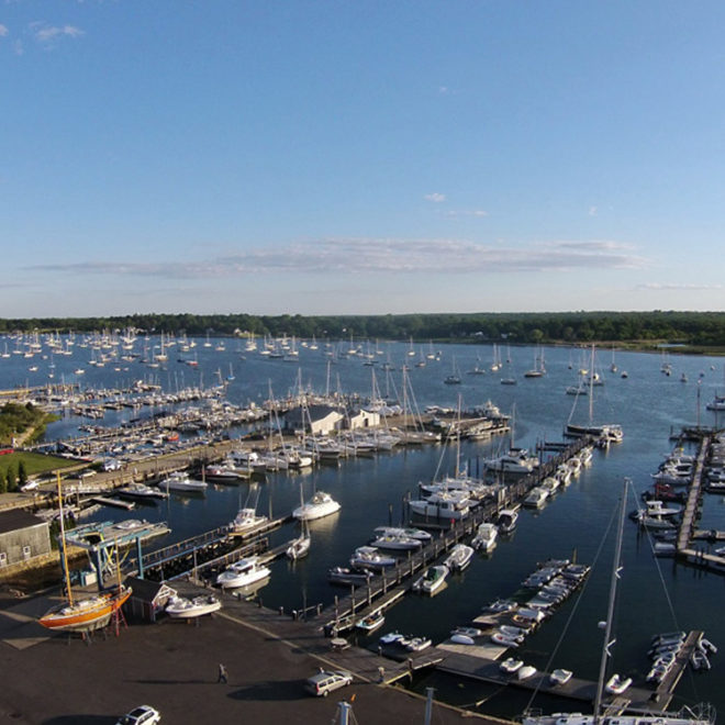
Two piers, used by fishing and pleasure boats, are at Westport Point. These piers have reported depths of about 10 feet at their faces. Berthing at the piers is under the control of the harbormaster, who can be contacted through the town hall or police department. A 5 mph speed limit is enforced in the harbor.
A boatyard and a marina are in the harbor. The boatyard is on Horseneck Point about 0.5 mile west of the highway bridge. The marina is on Westport Point about 0.1 mile west of the highway bridge. Berths, moorings, gasoline, diesel fuel, water, ice, launching ramps, and marine supplies are available. The largest marine railway is at the boatyard and can handle craft up to 60 feet for hull and engine repairs and dry open or covered storage.
Navigation:
Click the “Map View” button above to see a chart of this harbor.
The Westport River empties into the large bight between Gooseberry Neck and Sakonnet Point. The mouth of the river is between Horseneck Point, 2.7 miles northwest of Gooseberry Neck, and The Knubble, a protruding mound of granite marked by a light about 0.2 mile south of Horseneck Point. The river is the approach to Westport Harbor, the area just inside the entrance; the village of Westport Point, on the north shore of the east branch of the river; and the village of Acoaxet, westward of The Knubble. Fishing and pleasure boats use the river as far as Westport Point.
The entrance channel is narrow, crooked, and marked by buoys. In 2009, the entrance channel had a controlling depth of 7.3 feet except shoaling to 5.7 feet in the right half of the channel between Buoy 10 and Buoy 12. Depths near the entrance are continually changing; mariners are advised to seek local knowledge. Numerous rocks are in the channel below the bridge at Westport; caution is advised.
Boats should not try to enter during strong southerly winds as heavy seas break over the entrance bar. About 1 mile above the entrance the river divides into two branches. The west branch is shallow, with a narrow channel marked by private seasonal buoys, and is used by local craft to opposite Toms Point, about 1.6 miles above the entrance. Above the Westport Point bridge, the east branch is marked by private seasonal buoys as far as the Hix Bridge, 4.7 miles above Westport Point. A reported depth of about 4 feet can be carried to this bridge with local knowledge.
A highway bridge with a 49-foot bascule span and a clearance of 21 feet at the center crosses the river at Westport Point, about 2 miles above the mouth. Hix highway bridge, about 6 miles above the mouth, has a 35-foot fixed span with a clearance of 3 feet. An overhead power cable on the north side of Hix bridge has a clearance of 37 feet.
Approaching Westport River, boats must take care to pass westward of the dangers off Gooseberry Neck and eastward of the dangers off the river entrance. Numerous rocks and ledges are southward of the entrance to the river. Twomile Rock, 1 mile southeastward of Westport Harbor Entrance Light 7 on The Knubble, is marked by a daybeacon. Shoals with depths of 5 to 18 feet are southeasterly of the rock. A buoy is 0.35 mile south-southeast of the rock. Halfmile Rock, 3 feet high, is 325 yards southeast of the light on The Knubble. The shoal water surrounding the rock is marked by a buoy. The area south of The Knubble is very foul. Other unmarked dangers include Twomile Ledge, extending 1 mile south of The Knubble, and covered 2 to 12 feet; Joe Burris Ledge covered 14 feet, midway between Halfmile Rock and Twomile Rock, and Pinetree Ground, about 1 mile south of Twomile Rock, covered 25 to 30 feet.
The shore in this vicinity should be given a berth of about 1.3 miles to avoid numerous rocks and ledges extending about 1 mile offshore for 2.5 miles westward of Westport Harbor.


