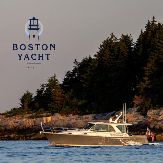
Skip to content
- Weymouth – Back River, MA
- Deer Island, MA
- Hingham, MA
- Weymouth Fore River, Quincy Point, MA
- Neponset River, MA
- Boston, MA
- Chelsea, MA
- Cohasset Harbor (White Head), MA
- Charlestown, Charles River, MA
- Lynn Harbor, MA
42.3033’ N, 70.9200’ W
50°
H 58°
L 34°
SSW
12mph
High tide
12:40 pm
Exploring Maps and Charts of Hull, MA