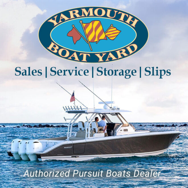
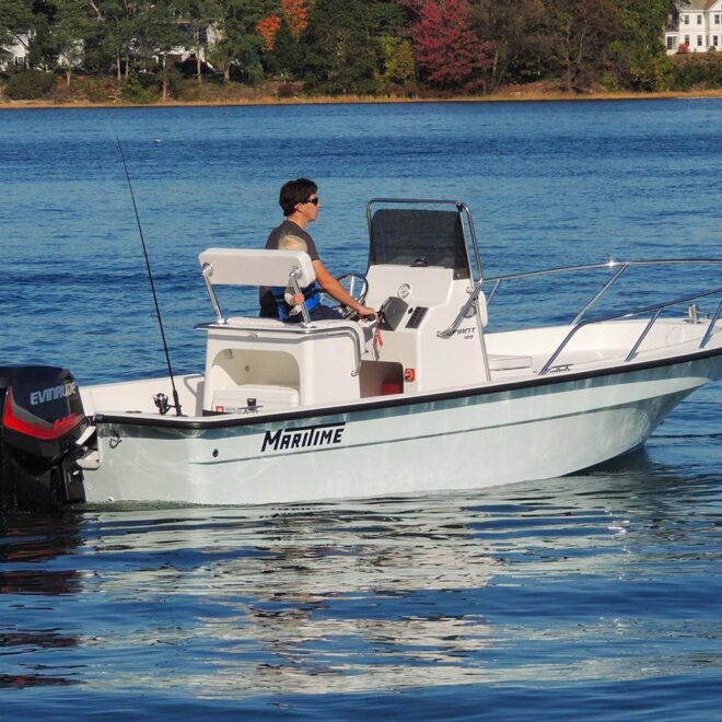
Weather Alerts
Storm Watch issued February 15 at 3:27PM EST until February 18 at 6:00AM EST by NWS Gray ME
* WHAT...For the Gale Warning, east winds 25 to 35 kt with gusts
up to 45 kt and seas 6 to 11 ft expected. For the Storm Watch,
west winds 30 to 40 kt with gusts up to 55 kt and seas 7 to 12
ft possible.
* WHERE...Coastal Waters from Stonington, ME to Port Clyde, ME
out 25 NM, Coastal Waters from Port Clyde, ME to Cape
Elizabeth, ME out 25 NM and Coastal Waters from Cape
Elizabeth, ME to Merrimack River, MA out 25 NM.
* WHEN...For the Gale Warning, from 7 AM Sunday to 7 AM EST
Monday. For the Storm Watch, from Monday morning through late
Monday night.
* IMPACTS...Storm force winds and hazardous seas could capsize
or damage vessels and reduce visibility.
Gale Warning issued February 15 at 3:27PM EST until February 17 at 7:00AM EST by NWS Gray ME
* WHAT...For the Gale Warning, east winds 25 to 35 kt with gusts
up to 45 kt and seas 6 to 11 ft expected. For the Storm Watch,
west winds 30 to 40 kt with gusts up to 55 kt and seas 7 to 12
ft possible.
* WHERE...Coastal Waters from Stonington, ME to Port Clyde, ME
out 25 NM, Coastal Waters from Port Clyde, ME to Cape
Elizabeth, ME out 25 NM and Coastal Waters from Cape
Elizabeth, ME to Merrimack River, MA out 25 NM.
* WHEN...For the Gale Warning, from 7 AM Sunday to 7 AM EST
Monday. For the Storm Watch, from Monday morning through late
Monday night.
* IMPACTS...Storm force winds and hazardous seas could capsize
or damage vessels and reduce visibility.
High Wind Watch issued February 15 at 3:02PM EST until February 17 at 7:00PM EST by NWS Boston/Norton MA
* WHAT...West winds 20 to 40 mph with gusts up to 55-65 mph possible.
* WHERE...Portions of northern Connecticut, central, eastern,
northeastern, southeastern, and western Massachusetts, and
northern and southern Rhode Island.
* WHEN...From Sunday evening through Monday evening.
* IMPACTS...Damaging winds could blow down trees and power lines.
Power outages are possible. Travel could be difficult, especially
for high profile vehicles.
Winter Storm Warning issued February 15 at 3:01PM EST until February 16 at 7:00PM EST by NWS Boston/Norton MA
* WHAT...Heavy mixed precipitation. Additional snow and sleet
accumulations between 4 and 8 inches and ice accumulations between
0.15 to 0.35 inches
* WHERE...Portions of central, eastern, northeastern, and western
Massachusetts.
* WHEN...Until 7 PM EST Sunday.
* IMPACTS...Roads, and especially bridges and overpasses, will
likely become slick and hazardous. Significant ice accumulation on
power lines and tree limbs may cause power outages. Power outages
and tree damage are likely due to the ice. Travel could be nearly
impossible.
* ADDITIONAL DETAILS...Strong winds Sunday night and Monday could
exacerbate power outages due to snow and ice load on trees and
power lines.