Wellfleet Harbor is on the western side of the hook of Cape Cod, near its southern end. Wellfleet is a town at the head of the harbor. Mayo Beach is also at the head of the harbor. The sandspit extending eastward from Shirttail Point is protected by stone revetment and is paved for a parking area for the town wharf and marina. The basin north of the spit has been developed into a large marina with floats and berths for small craft and yachts.
The town wharf, landings, and moorings in the harbor are under the control of the harbormaster, whose office is on the town wharf.
The town pier and the town wharf extend southward and eastward, respectively, from Shirttail Point. The town pier has depths of 3½ to 7 feet reported along its south side, and 3 to 4 feet are reported alongside the floats on its north side; gasoline, diesel fuel by truck, water, and electricity, and a pumpout facility are available. Floats with electricity and water are available on the north side of the town wharf; a small-craft launching ramp is on the south side. Hydraulic trailers at the town ramp can handle craft up to 45 feet for hull and engine repairs by local firms. Guest moorings in the anchorage area are under the control of the harbormaster. A snack bar, restaurant, and marine supply store are at the shoreward end of the town wharf. Groceries and lodging are available within walking distance. The Wellfleet Yacht Club is at the west end of Mayo Beach.
Great Island, on the western side of Wellfleet Harbor, is now part of the Cape Cod National Seashore under the U.S. Department of the Interior. Its beaches are open to pleasure boatmen who can either beach their boats or anchor a short distance offshore. Great Island has no facilities.
Prominent features:
Wellfleet Harbor Breakwater Light 14 (41°55.5’N., 70°02.1’W.), 16 feet above the water, is shown from a skeleton tower with a red triangular daymark on the end of the breakwater that protects the inner harbor and anchorages. The easterly of two church spires in the town of Wellfleet and a fire lookout tower in South Wellfleet are also prominent.
Channels:
A dredged channel, marked by lighted and unlighted buoys and a light, leads from deep water in Wellfleet Harbor to a dredged anchorage basin southward of the town wharf at Wellfleet. In 2007, the midchannel controlling depth was 9.6 feet in the channel to the anchorage basin except shoaling to 6.5 feet upstream of Buoy 16, thence 4.4 to 10 feet in the northernmost 50 feet of the basin, with shoaling to 0.9 foot in the southeast section. The channel is subject to frequent changes, and the buoys are moved to mark the best water.
Private seasonal floats mark the channel leading from the anchorage into Duck Creek to the basin of the town marina. In 1979, the controlling depth in this channel was reported to be about 1 foot.
Anchorages:
The inner harbor offers the best anchorages off the Wellfleet town wharf. In the outer harbor, northeast of Smalley Bar, the anchorage in depths of 12 to 21 feet is somewhat exposed in westerly winds. In northerly gales vessels sometimes anchor on the lee side of Billingsgate Shoal in 12 to 42 feet; the shoal breaks the sea so that vessels with good ground tackle can ride out a heavy gale from northward.
Dangers:
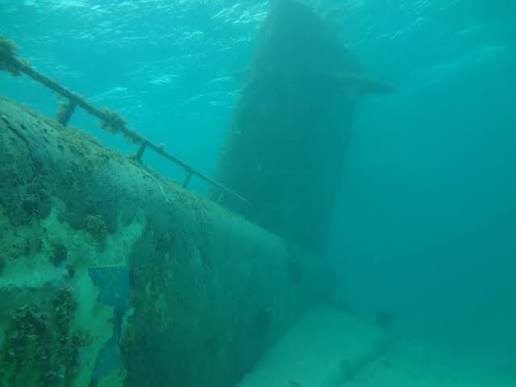
Extensive shoals are in the entrance. Billingsgate Shoal extends about 5.5 miles westward of Billingsgate Island, on the western side of the entrance to the harbor. The island is covered at high water. A lighted bell buoy marks the southwest end of the shoal. Numerous sunken wrecks are south and west of the shoal; mariners are advised to exercise caution.
The approach channel into Wellfleet outer harbor leads between the shoals and is narrow in places, but it is marked by unlighted and seasonal lighted buoys and is easily followed in daytime in clear weather. The breakwater that protects the inner harbor is reported to cover at extreme high tides. Bush stakes mark the clam and oyster flats in the inner harbor.
Current:
The tidal currents at strength in the harbor entrance, north of Smalley Bar, average 0.7 knot on the flood and 0.5 knot on the ebb. The harbor is usually closed by ice during a part of each winter.