Boating, Fishing, and Travel Information for Oak Island, Yaupon Beach, NC
Berthage with electricity, gasoline, diesel fuel, water, ice, a pump-out station and marine supplies are available at Southport.
High Tide Flooding Outlook for April 2024
By US Harbors. Coastal Flooding Predictions for April 2024 April's highest tides will happen at the end of the 2nd week of the month, starting as early as April 7 in some places, and heading back to normal after the 11th or 12th. There are some location-specific outliers we're highlighting… Learn More
Fishing in Oak Island, Yaupon Beach, NC Map View
Coastal News Updates See All
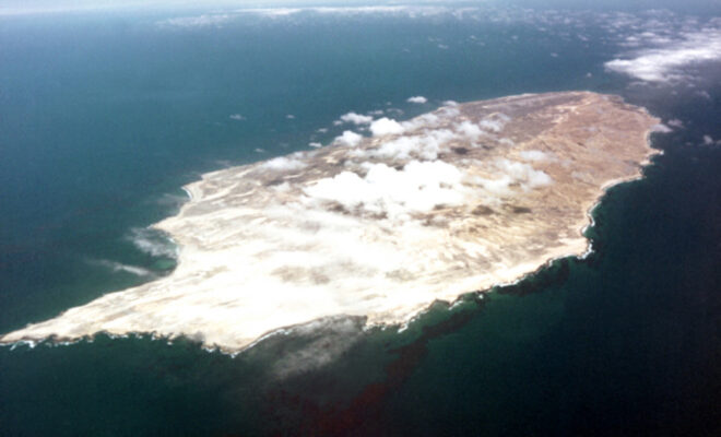
San Nicolas Island
By Lesekker. FROM 1835 TO 1853, A Native American woman, stranded after the evacuation of her people, lived alone on San Nicolas Island. Her story inspired one of the most popular children’s novels ever written. Named Karana in Scot O’Dell’s Island of the Blue Dolphins, the Lone Woman of San Nicolas Island’s… SEE MORE
Developing Alternative Fisheries Management Scenarios to Respond to Climate Change
By fisheries.noaa.gov. Seafood is a vitally important source of protein. Worldwide, more than 3 billion people rely on seafood as a significant part of their diets. The amount that we can sustainably fish and farm is based on historical catches and trends that have been monitored for decades. We need to understand… SEE MORE
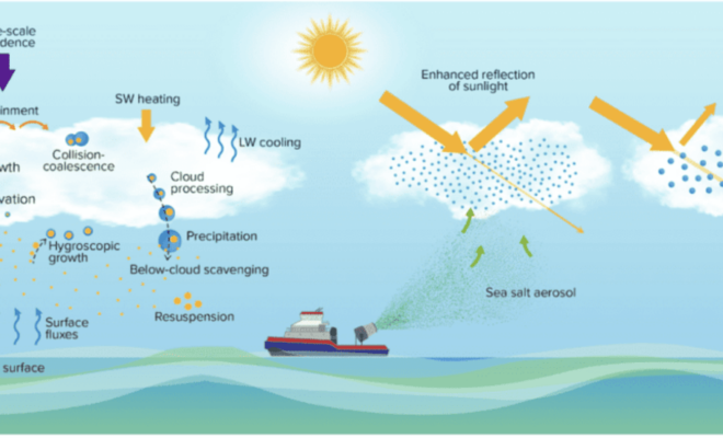
Scientists Detail Research to Assess Viability and Risks of Marine Cloud Brightening
By research.noaa.gov. As the levels of greenhouse gases in the atmosphere continue to increase and climate change impacts become more costly, the scientific community is redoubling efforts to investigate the potential risks and benefits of artificially shading Earth’s surface to slow global warming. Marine cloud brightening (MCB) is one of… SEE MORE


