Find Coastal & Marine Weather Forecasts
Latest Weather News Filter
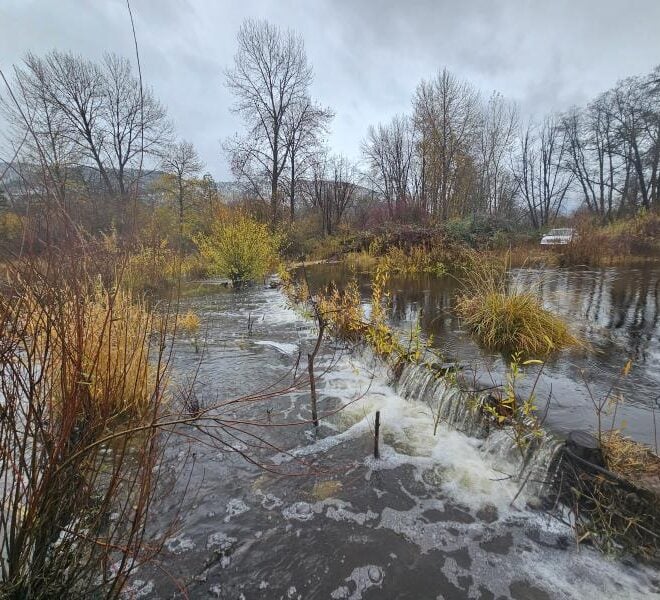
Start-Up Beaver Dams Transform Parched California Creeks into Salmon Havens, New Research Finds
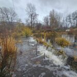
By fisheries.noaa.gov, fisheries.noaa.gov. Battered by early gold mining and diminished by logging and diversions,the lower section of Sugar Creek often ran dry in summer. The tributary of the Scott River in Northern California’s Klamath Basin once supported coho salmon—but as it diminished, so did they. In 2014, NOAA Fisheries researchers… SEE MORE
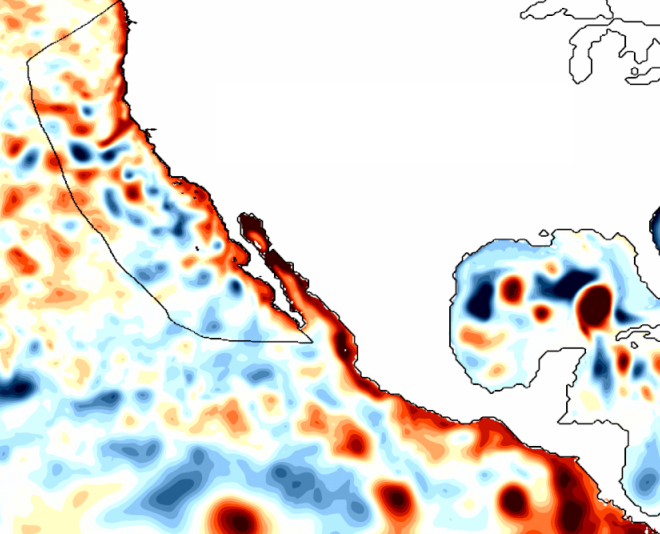
Ocean Indicators We’re Tracking for El Niño’s Arrival on the West Coast
By fisheries.noaa.gov, fisheries.noaa.gov. Has El Niño reached the West Coast? You might think it has. After all, the ocean off Southern and Central California is unusually warm. But that is from a recent marine heatwave predates the current El Niño. Much of the Pacific Coast is experiencing relatively normal conditions while still… SEE MORE
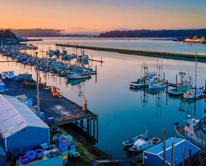
Advancing Agency-Level Reforms to Restore American Seafood Competitiveness
By fisheries.noaa.gov, fisheries.noaa.gov. Over the past year, I have met with fishermen, processors, coastal community leaders, and regional fishery management council members and staff across the country. In every harbor and at every meeting, the message has been consistent: American fishermen just want to fish, and they need their government… SEE MORE
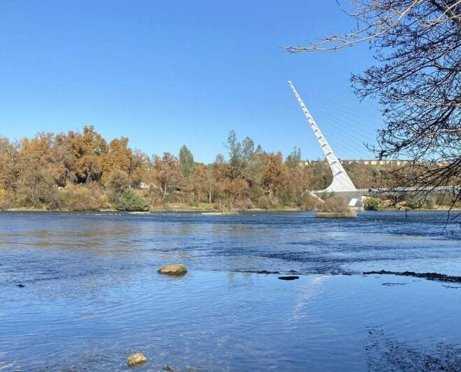
A Secret to Survival for California’s Most Endangered Salmon
By fisheries.noaa.gov, fisheries.noaa.gov. Traditional field research combined with new technology has revealed a secret to the survival of juvenile salmon as they form in their eggs, especially in low-water years when many do not survive, new research from NOAA Fisheries and the University of California, Davis shows. Sacramento River winter-run… SEE MORE
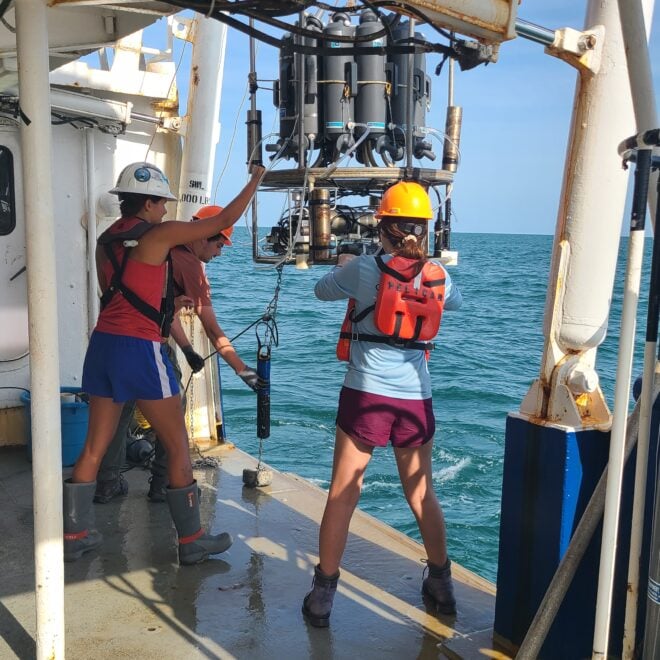
NOAA and Partners Find Smaller-than-Anticipated Hypoxic Zone in Gulf of America
By fisheries.noaa.gov, fisheries.noaa.gov. NOAA-supported scientists announced today that this year’s Gulf of America hypoxic zone is approximately 1,332 square miles, making it the 2nd smallest zone on record in 40 years of measurement. Hypoxic areas, also called “dead zones,” are areas with little to no oxygen in the water, which… SEE MORE
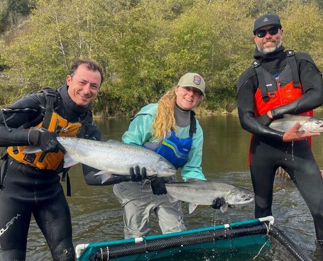
Can Habitat Restoration Help Salmon Recover? Prairie Creek Offers Clues
By fisheries.noaa.gov, fisheries.noaa.gov. This story is part 2 of a 2-part series. Read part 1. When any habitat restoration project finishes, a critical question remains: Will the project help threatened fish and other species recover? Answering that question requires rigorous long-term monitoring. At the Prairie Creek salmon habitat restoration project in Northern California,… SEE MORE
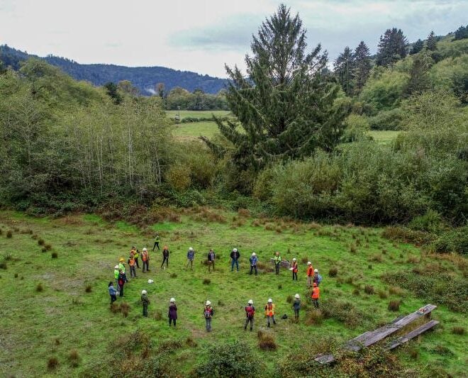
Restoring California’s Prairie Creek Supports Salmon Recovery and Local Community
By fisheries.noaa.gov, fisheries.noaa.gov. This story is part 1 of a 2-part series. Read part 1. For more than a decade, NOAA Fisheries and a broad coalition of partners worked to transform degraded fish habitat on California’s Prairie Creek into a thriving floodplain ecosystem for juvenile salmon and steelhead. Located in California’s redwood… SEE MORE
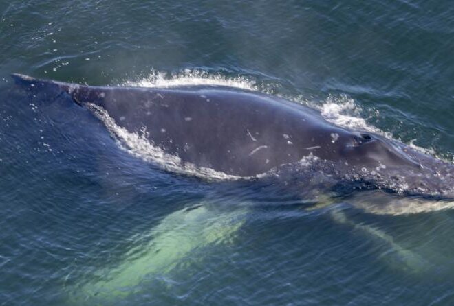
Fishing Vessel Joins Trained Team to Free Injured Humpback Whale 20 Miles off Oregon Coast
By fisheries.noaa.gov, fisheries.noaa.gov. An Oregon team joined by experts from Washington and a local fisherman freed a severely entangled humpback whale about 20 miles off the Oregon Coast on July 26. While the team removed all of the gear from the whale, the entanglement left the young whale’s jaw permanently… SEE MORE