Possible Ancient River System Discovered off Wilmington, North Carolina
Posted
Last Updated
By
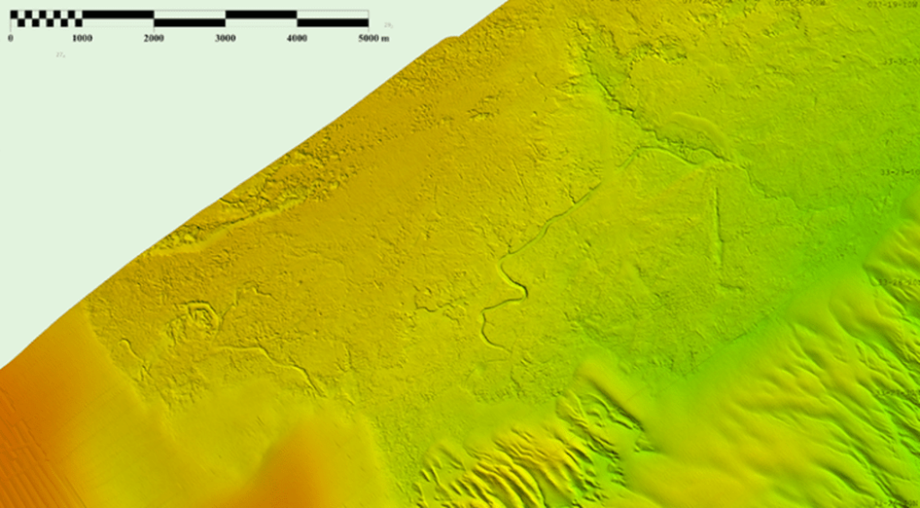
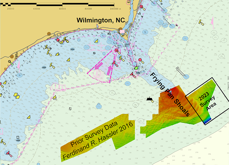
During the 2023 field season, NOAA Ship Ferdinand R. Hassler was tasked with surveying an area offshore of Wilmington, North Carolina, in the vicinity of Frying Pan Shoals—a dynamic area of dangerously shallow waters. While scientists and crew conducted mapping surveys of the seafloor, they discovered what is believed to be well-preserved ancient remnants of a paleochannel system that could give us a glimpse as to what our North Carolina coastline looked like approximately 20,000 years ago. The location of these newly discovered paleochannels indicates that they may have once been part of North Carolina’s historic Cape Fear River and likely were above sea level during the Last Glacial Maximum.
The ship employed its multibeam sonar system to map the area in high detail. As data were collected and processed, it became clear that the area was home to some impressive geologic features. Early in the survey, the crew was able to visualize a dynamic system of sand waves, likely driven by longshore currents and flow surrounding Frying Pan Shoals. Some shoals measured as large as five meters tall, with crest-to-crest wavelengths ranging from 3,000 to 4,500 meters.
As the survey progressed further inland, more impressive features were discovered and the importance of the data being collected was being realized.
read more at nauticalcharts.noaa.gov.