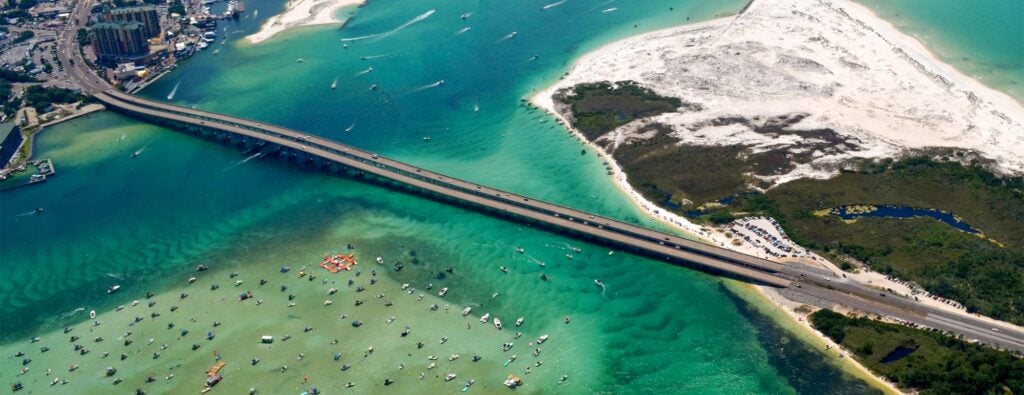
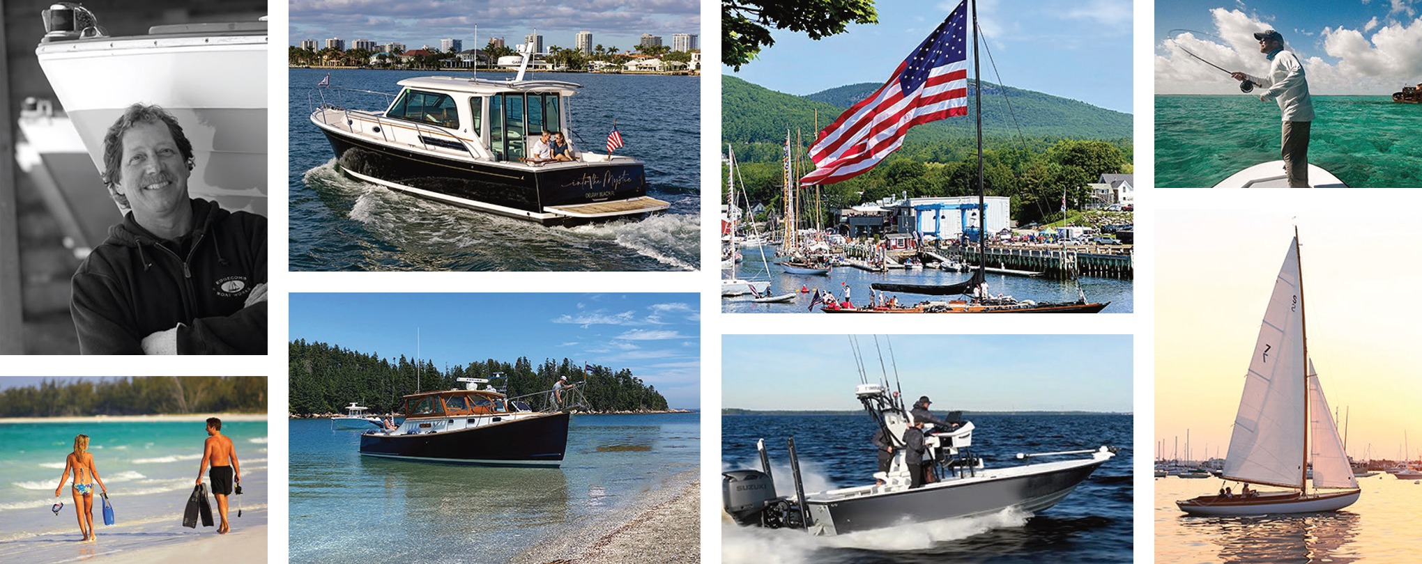
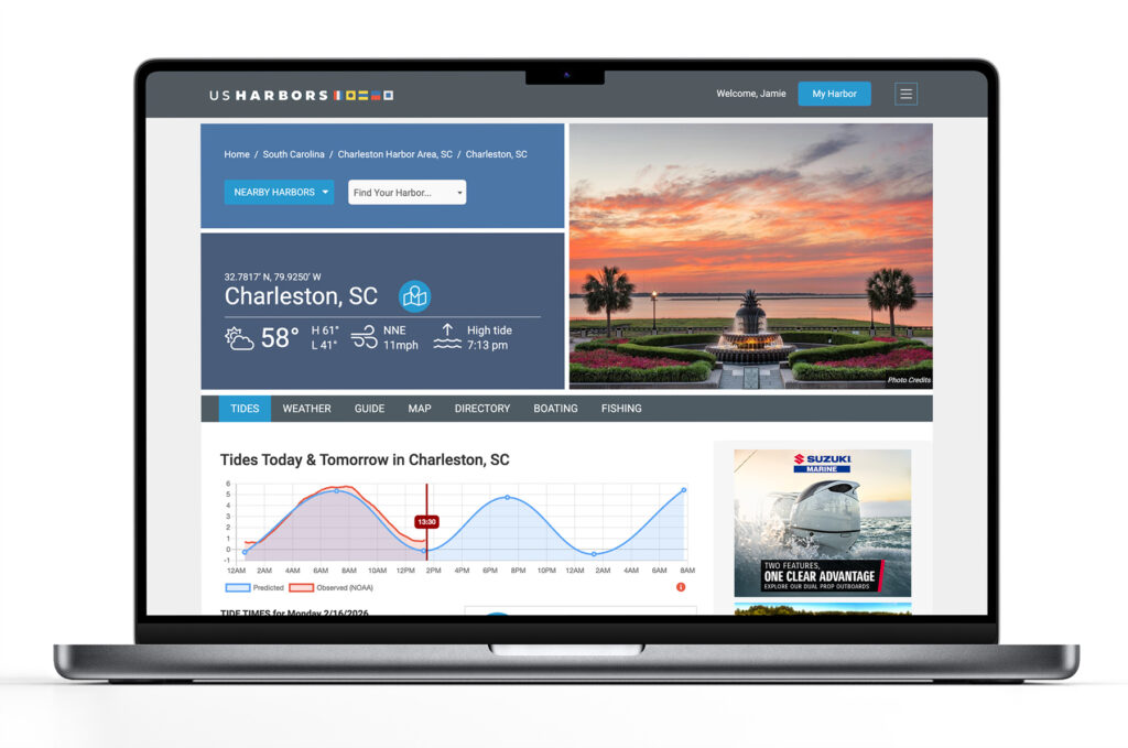
US Harbors is the #1 Source for Tide Charts and Coastal Information for over 1,400 harbors in 30 coastal states. Our curated data helps you plan smarter, enjoy your time on the water, and stay ahead of rapidly changing tides, storms, and flooding.
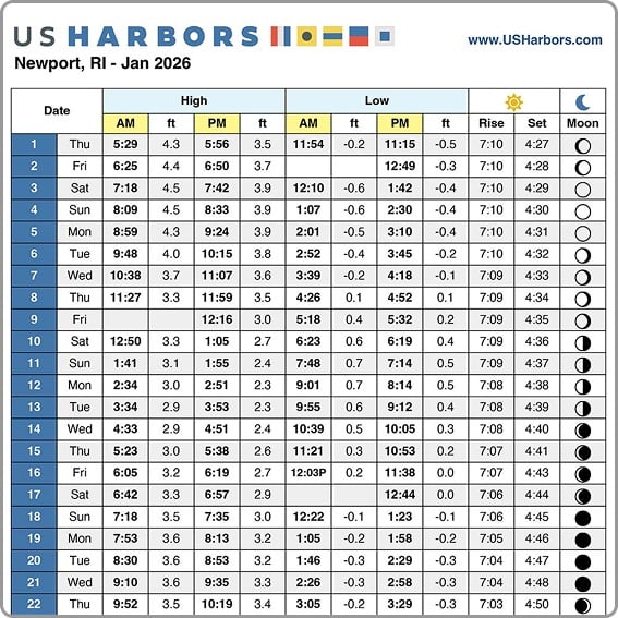
Tide Charts
US Harbors illustrates tide forecasts with our simple, intuitive charts. Easily scan the highs and lows online or print a convenient monthly tide chart for the boat or office.
Weather
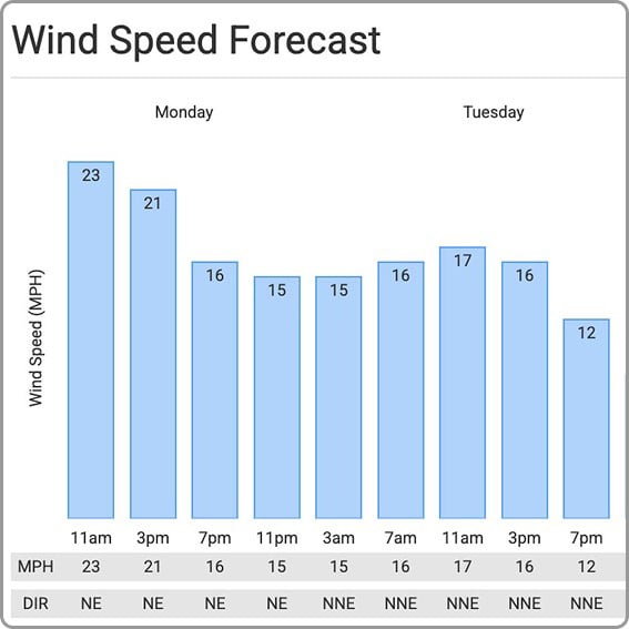
US Harbors delivers weather predictions with a focus on marine forecasts, buoy data, weather alerts, and onshore forecasts for harbors near you that include wind speed and direction, relative humidity, and more.
High Tide Flooding
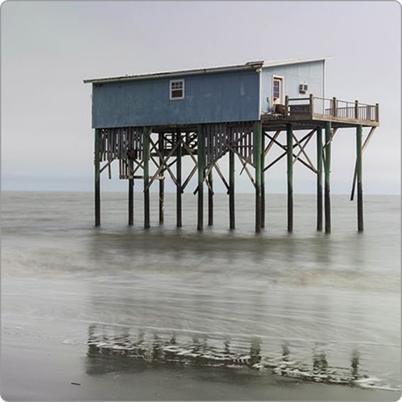
Each month, we publish a high-tide flooding report for forecasted harbors across the country. Look for harbors near you to know when extreme high tides could cause flooding. Sign up for our newsletter to be alerted to new high tide flooding reports.
Latest Coastal News Filter
Sudden Danger: The Science And Stakes of Flash Flood Forecasting
By research.noaa.gov, research.noaa.gov. Though not as feared as tornadoes, hail, or lightning, flash floods are one of the deadliest weather hazards in the United States. While the number of fatalities can vary dramatically from year to year, the national average for flood deaths is 88. Lightning accounts for an average of… SEE MORE
The Coast Is Clear-er: NOAA Unveils New Land Cover Maps 900 Times Greater In Detail
By noaa.gov, noaa.gov. NOAA is releasing new, higher-resolution land cover maps for coastal Alabama, Mississippi, Northeastern Ohio, Rhode Island, and the Puget Sound in Washington. The data will be made available through the Digital Coast website and will provide these communities with better information for decisions related to stormwater management, water quality… SEE MORE
NOAA Predicts Below-Normal 2026 Atlantic Hurricane Season
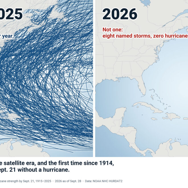
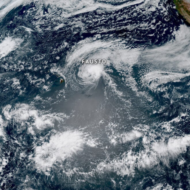
By noaa.gov, noaa.gov. Early preparation essential to staying safe all season. Forecasters with NOAA’s National Weather Service are predicting a below-normal hurricane season for the Atlantic basin this year. NOAA’s outlook for the 2026 Atlantic hurricane season, which runs June 1 to November 30, predicts a 35% chance of a… SEE MORE
In The Zone: The Sabre 51 Salon Express
By US Harbors When Sabre Yachts completed construction of hull number 200 of its 48 Salon Express model, more than half the crew who built it had also worked on hull number one. The average tenure on that line was 12 years, and they produced a yacht that proved to… Learn More
El Niño and High Tide Flooding, a Possible Double Whammy for Some Coastal Communities in 2026
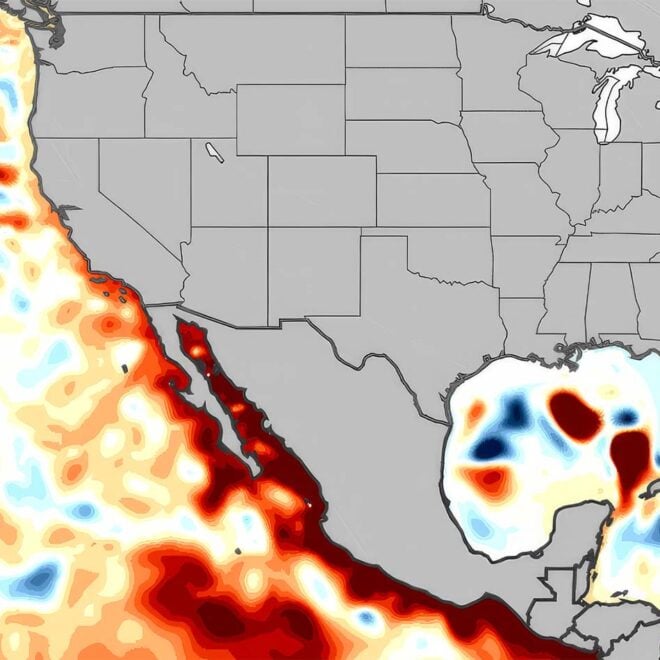
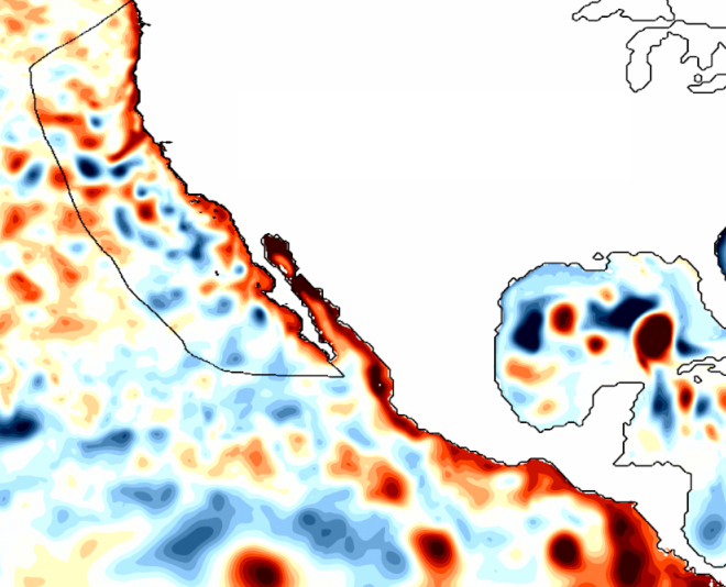
By oceanservice.noaa.gov, oceanservice.noaa.gov. NOAA’s National Weather Service is predicting El Niño is likely to emerge by July 2026 and continue through the winter, and for many locations in the U.S. this could mean more high tide flooding. To understand why more flooding is expected, it helps to understand what El Niño is and… SEE MORE
National Hurricane Center to Issue New Forecast Cone Graphics for 2026 Hurricane Season
By noaa.gov, noaa.gov. Other product enhancements include Hawaii Storm Surge Watches & Warnings As part of a suite of product improvements for the 2026 hurricane season [PDF], NOAA’s National Hurricane Center (NHC) is implementing two new tropical products and services: a new operational hurricane track cone map, and new storm surge alerts… SEE MORE
NOAA Strengthens Commitment to World-Class Tsunami Monitoring and Detection in Pacific
By noaa.gov, noaa.gov. National Mesonet Program ensures seismic detection continues to operate in real time A new agreement between NOAA, the Alaska Mesonet and the seismic network operated by the University of Alaska-Fairbanks Alaska Earthquake Center (UAF AEC) is funding nine AEC-owned seismic stations that support near-real-time tsunami threat information.… SEE MORE
U.S. Coastal Sea Level Rise Rate Doubled in Past Century, New Study Finds
By Woods Hole Oceanographic Institution, whoi.edu. For harbor operators and coastal infrastructure planners, accurate sea level data is essential for making critical decisions about dock elevations, bulkhead construction, and long-term facility planning. A new scientific study highlighting significant acceleration in U.S. coastal sea level rise has important implications for harbors… SEE MORE
2025 Atlantic Hurricane Season Marked by Striking Contrasts
By noaa.gov, noaa.gov. Seasonal activity fell within NOAA’s predicted ranges The 2025 Atlantic hurricane season, which officially ends on November 30, was notable for its striking contrast — wavering between periods of relative calm and bursts of intense activity, generating very powerful storms. Overall, the season fell within the predicted ranges… SEE MORE
Featured Harbors
Cast off the lines, explore the coast, and discover new harbors!
-
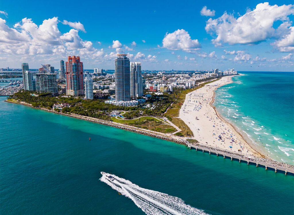
Government Cut, Miami Harbor Entrance, FL
Miami & South FL
-
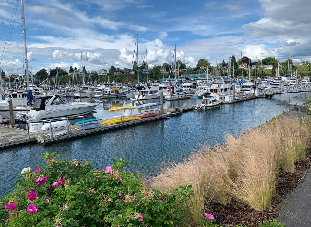
Bellingham, WA
Washington
-
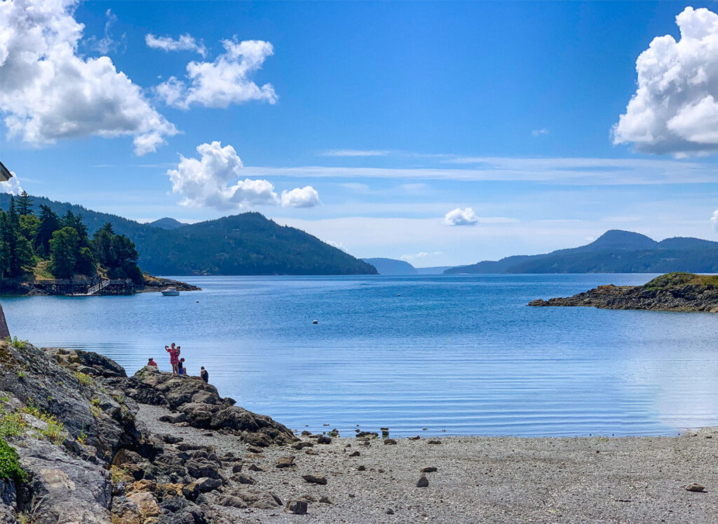
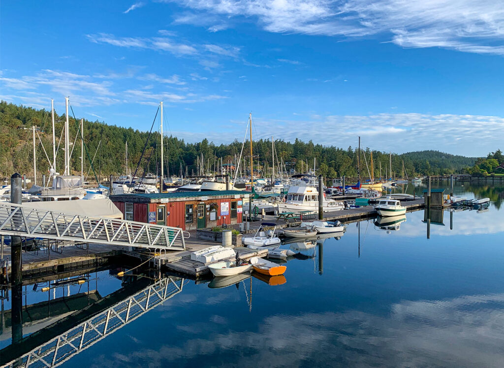
Rosario, East Sound, Orcas Island, WA
Washington
-
Orcas, Orcas Island, WA
Washington
-
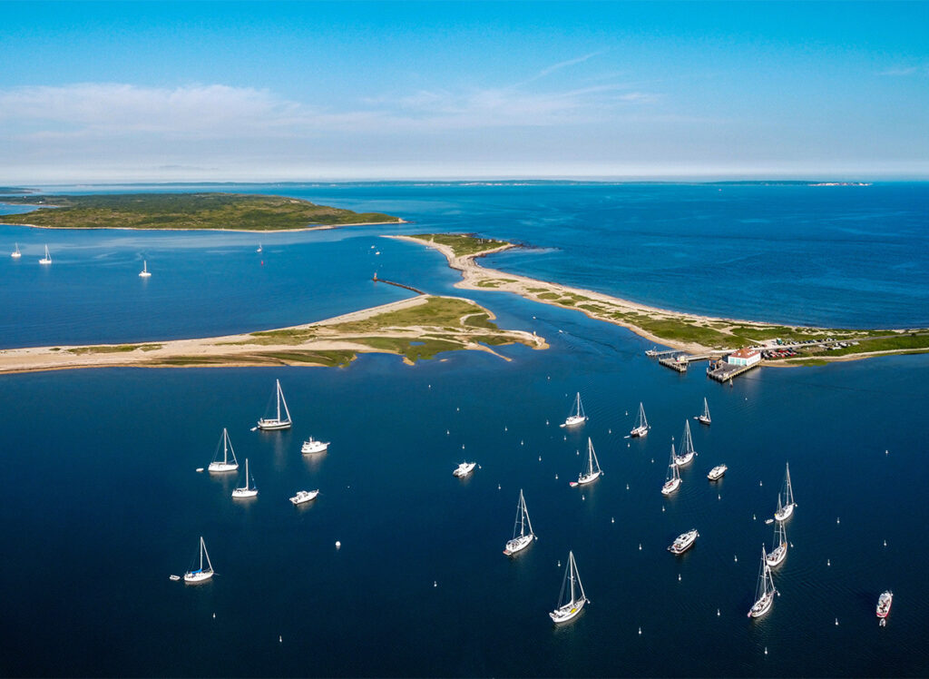
Cuttyhunk, MA
Massachusetts
-
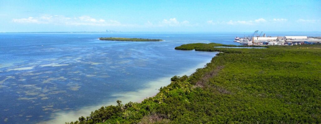
Port Manatee, FL
Tampa Bay & West Central, FL
-
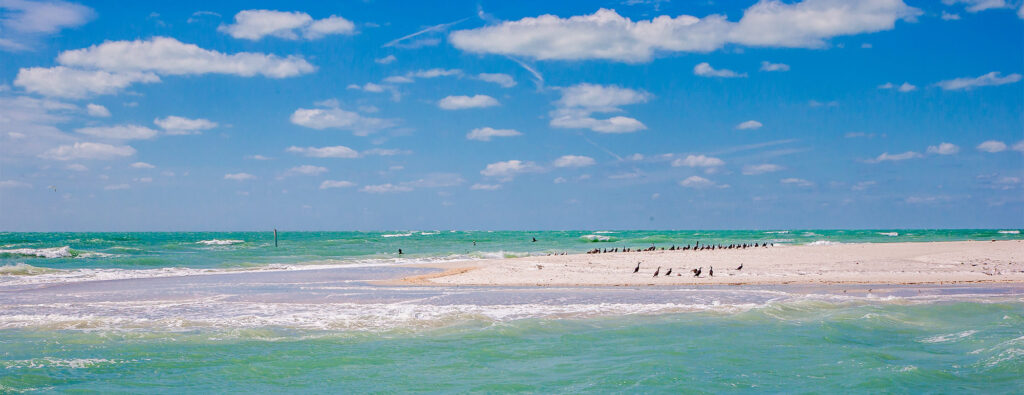
Egmont Key, Egmont Channel, FL
Tampa Bay & West Central, FL
-
Washington, Washington Channel, DC
Potomac River, D.C & Western Chesapeake Bay, MD
-
Galveston Pleasure Pier, TX
Texas
-
Monhegan, ME
Midcoast & Penobscot Bay, ME
-
Port Boca Grande, Charlotte Harbor, FL
Southwest, FL
-
Anacortes, WA
Washington
-
Mystic, CT
East Shore, CT
-
Chincoteague Island, USCG Station, VA
Virginia
-
Destin (Choctawhatchee Bay, East Pass), FL
Panhandle, FL