The outer harbor is easy of access and affords good holding in depths of 13 to 33 feet, soft bottom. The anchorage is eastward of a line from Eaton Point to the buoy northward of Curtis Island. The depths in the outer harbor shoal gradually northward to a depth of 12 feet about 500 yards from the head of Sherman Cove, in the northern part of Camden Harbor. Above the 12-foot curve the cove is shoal.
Camden Harbormaster Steve Pixley supervises the moorings and enforces the local regulations. He can be contacted at the town landing, on VHF Channel 16 or by calling the Harbormaster’s office at: 207-236-7969. The town of Camden has a free Pump-Out Boat that you can hail on VHF channel 16.
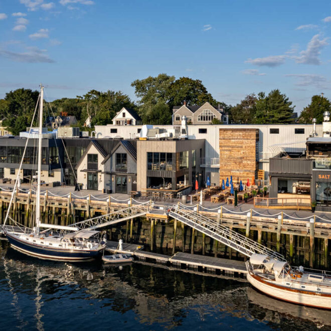
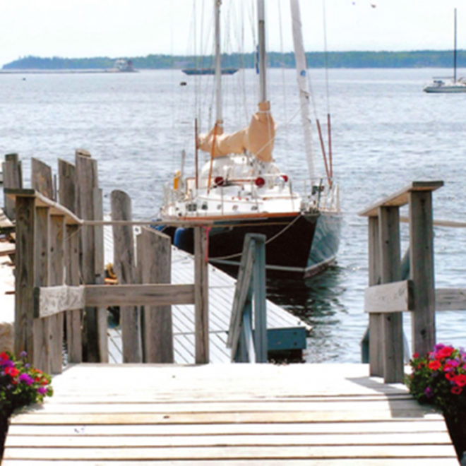
Camden’s inner harbor is one of the most scenic spots on the coast of Maine, and you owe it to yourself to spend at least one night here. The town rents dock space at the Public Landing (207-236-7969), while both PG Willey’s Wharf (207-236-3256) and Wayfarer Marine (207-236-4378) offer both dockside space and floating docks just a few feet away. If you choose to stay in the outer harbor (watch for a roll if the southwest swells are up), Wayfarer Marine offers moorings by the night. There is very limited anchoring room in Camden, most of which is in the notoriously rolly part of the harbor near the outer ledges. Do yourself a favor and spring for something closer into the village!
The town wharf, on the west side of the inner harbor near the head, has two float landings with depths of 8 feet reported alongside. The wharf is used by several excursion schooners which operate along the Maine coast from Camden during the summer. The Camden Yacht Club, about 150 yards southward of the town wharf, has several float landings with depths of 7 feet reported alongside. Water is available at the floats, and guest moorings are maintained by the club in the outer harbor. Wayfarer Marine, close eastward of Eaton Point, has a 110-ton Ascom Mobile Boat Hoist and an 80-ton and 35-ton Brownell trailers. Gasoline, diesel fuel, transient berths with water and electricity, and marine supplies are available.
Navigation:
Click the “Map View” button above to see a chart of this harbor.
The most conspicuous feature seen in entering Camden Harbor is Mount Battie, 800 feet high. A small stone memorial tower on the summit shows as a long ridge from off the harbor. Curtis Island, on the southern side of the entrance, is prominent. Curtis Island Light, 52 feet above the water, is shown from a white tower on the southeast end of the island. Northeast Point, on the northeast side of the harbor entrance, is marked off its south side by Northeast Point Light 2, 20 feet above the water, shown from a white skeleton tower with a red triangular daymark.
The main channel into the harbor is from southward and is deep and clear; it is marked by a bell buoy at the entrance, and by buoys and Curtis Island Light. The inner harbor, westward of Eaton Point, has depths of about 7.7 to 10 feet in the middle and 4.4 to 6.1 feet along the east and west shores with lesser depths along the north shore. Northeast Passage, with a depth of about 19 feet, is a narrow channel leading into Camden Harbor between Northeast Point and Inner Ledges. The deeper water favors the light off Northeast Point. A fairway bell buoy is 0.3 mile northeastward of the entrance to Northeast Passage. This channel is used by local vessels, but should be used with great caution by strangers. The passage between Curtis Island and Dillingham Point is shoal and foul. Rocks awash are about 110 yards southwest of the light and about 150 yards northwestward of the island.
Approaches
Entering Camden Harbor by the main channel, vessels can steer for Curtis Island Light on any safe course, taking care to avoid The Graves, until close to the entrance bell buoy, thence select anchorage in the outer harbor, as shown on the chart. If going to the inner harbor, pass 100 yards northeastward of Camden Harbor Buoy 7 and steer for the entrance of the inner harbor, clearing the shoal on the north side off Eaton Point at the entrance to the inner harbor, and haul northward in midharbor. To enter by Northeast Passage, from the fairway bell buoy, steer for the north end of Curtis Island until close to the buoy at the northerly end of Outer Ledges. Pass northward of this buoy and steer westward between Northeast Point Light 2 and Inner Ledges Daybeacon 3, favoring the light.
Hazards
The Graves, about 1 mile offshore, midway between the entrance to Rockport and Camden Harbors, is a ledge showing bare rocky heads at high water and a large area that uncovers at low water. A lighted gong buoy is just eastward of The Graves. Northeast Ledge, consisting of Inner Ledges and Outer Ledges, is southward of Northeast Point, and constricts the main entrance to Camden Harbor to a width of about 400 yards. The higher parts of Inner and Outer Ledges uncover about 5 feet. The ledges are marked by buoys and a daybeacon. Dillingham Ledge, having a buoy off its east side, is 0.5 mile offshore and 1.3 miles northeast of Camden Harbor. A shoal extends 80 yards from the north shore off Eaton Point and the shipyard at the entrance of the inner harbor (Wayfarer Marine). Ruins of a pier extend about 150 yards southeast from Eaton Point.
Ice sometimes forms in the harbor from January to March, but is not dangerous for vessels in the outer harbor. Westerly winds clear the harbor of ice if it is broken up.
Tides
The mean range of tide is 9.6 feet.
