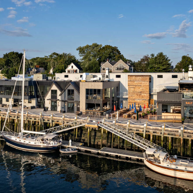
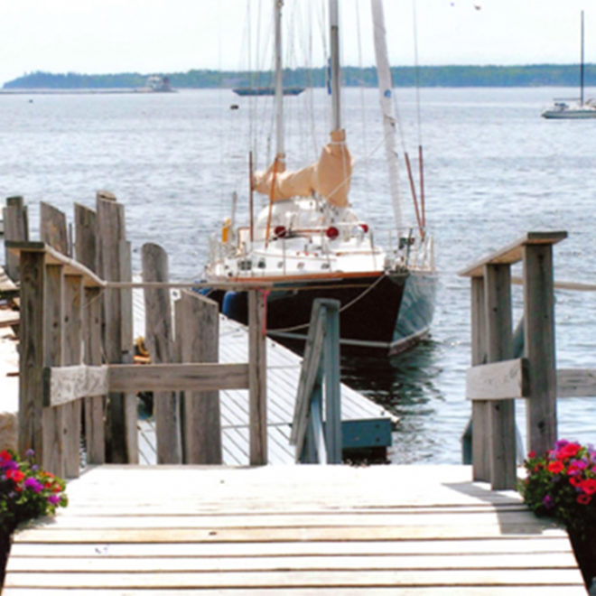
Welcome to Islesboro, ME
Featured Local Businesses


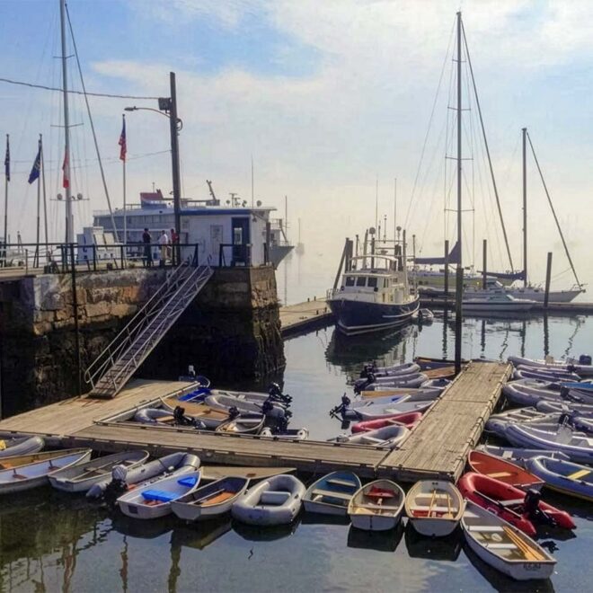

Boating Resources for Islesboro, ME
Important Contacts
Charts, Navigation, & Guides
Online Nautical Chart for Islesboro, ME
Pilot Guide Info for Islesboro, ME
Important Locations & Services
Weather Conditions & Forecasts
Print a Tide Chart for Islesboro, ME
Other Resources
FEATURED CONTENT

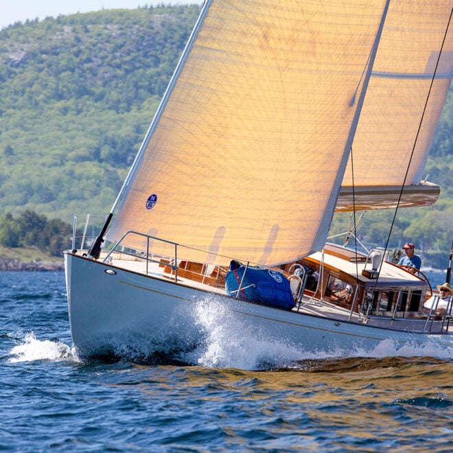
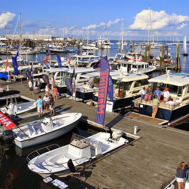
In The Zone: The Sabre 51 Salon Express
By US Harbors When Sabre Yachts completed construction of hull number 200 of its 48 Salon Express model, more than half the crew who built it had also worked on hull number one. The average tenure on that line was 12 years, and they produced a yacht that proved to… Learn More
Coastal News Updates See All
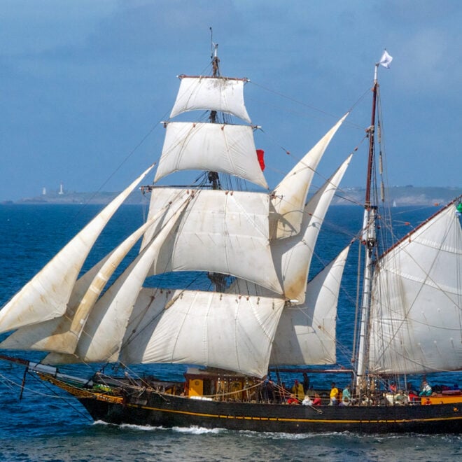
Back Aboard Tres Hombres: Sailing an Engineless Cargo Ship Through Europe's Historic Trade Routes
By Jordan Harssen, best4boats.com. In an era of mega container ships and global supply chains, one 109-foot brigantine is making the case — voyage by voyage — that wind-powered cargo shipping isn’t just a relic of the past. The Tres Hombres, operated by Fair Transport out of the Netherlands, has… SEE MORE
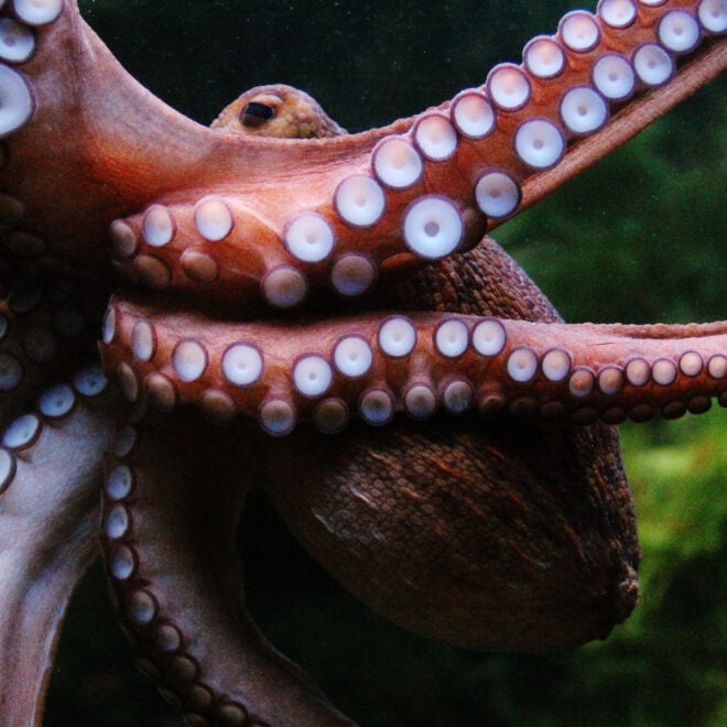
Remarkably Bright Creatures: A Story of Octopus Intelligence Set in the Pacific Northwest
By Janet Green Hammerman, best4boats.com. The Netflix adaptation of Shelby Van Pelt’s bestselling novel Remarkably Bright Creatures is drawing renewed attention to one of the ocean’s most fascinating inhabitants — the giant Pacific octopus. Set in a fictional Pacific Northwest coastal town, the story follows an aging widow, a drifting… SEE MORE
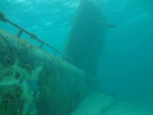
Into the Deep: Alvin Dives to Shackleton's and Scott's Lost Ships in the North Atlantic
By Ken Kostel, whoi.edu. Four decades after its legendary surveys of the Titanic, the submersible Alvin is heading back to the North Atlantic — this time to document two shipwrecks tied to the greatest names in polar exploration. WHOI’s R/V Atlantis departed Woods Hole on July 2 carrying scientists, engineers,… SEE MORE


