Welcome to Vinalhaven, ME
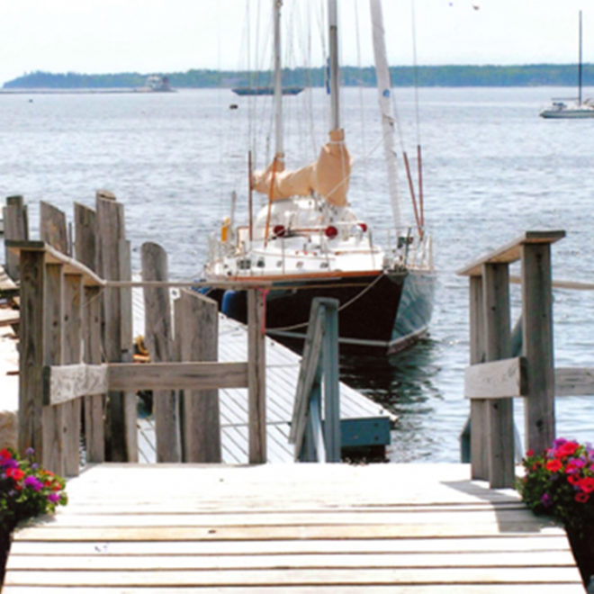
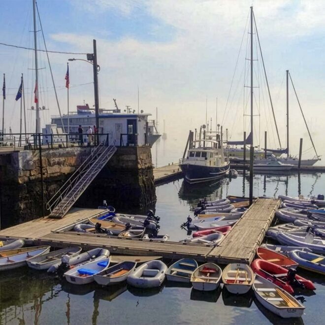
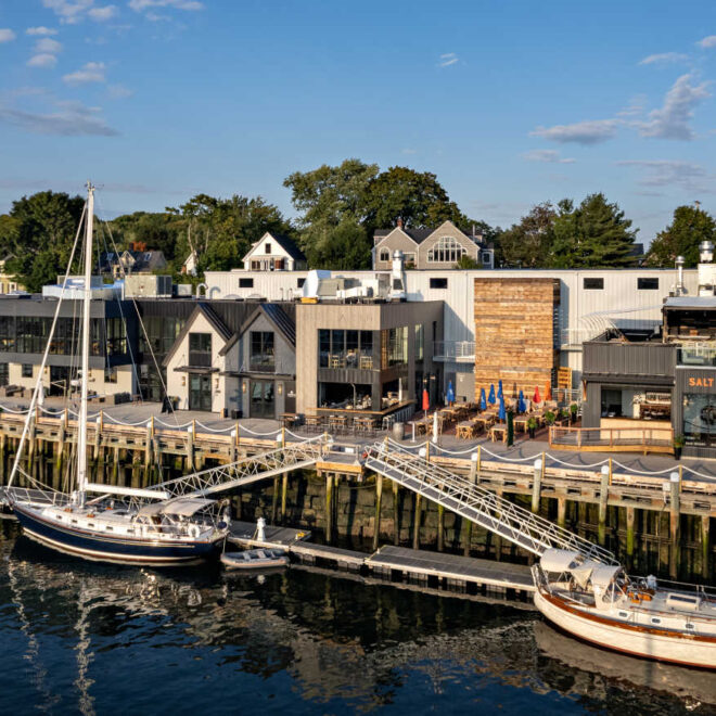
Vinalhaven is a town at the head of Carvers Harbor on the southwest side of Vinalhaven Island.

FEATURED CONTENT

By US Harbors At first glance, the Hood 42 LM might be confused for a boat that worked the Maine coast fifty years ago, but upon further inspection, the fifteen coats of Epifanes varnish over mahogany and custom-cast bronze hardware reveal that this boat was built for cruising. Beyond the… Learn More

By fisheries.noaa.gov, fisheries.noaa.gov. What does El Niño mean for U.S. fisheries and marine life? What can fishermen and coastal communities expect to observe and experience as this event continues and potentially intensifies? And what are scientists at NOAA Fisheries doing to track this natural phenomenon? The El Niño-Southern Oscillation is a powerful… SEE MORE

By fisheries.noaa.gov, fisheries.noaa.gov. NOAA’s National Weather Service announced today that Flood Inundation Mapping (FIM), a revolutionary tool for predicting river flooding, is now available on an experimental basis to nearly 100% of the U.S. population. This is a massive expansion from FIM’s prior coverage of 60% of the country. FIM… SEE MORE

By fisheries.noaa.gov, fisheries.noaa.gov. For husband and wife duo Ron and and Estralita Weidenbach, fish farming is a family business. The couple met in the 1970s while Ron was consulting at the East West Center in Honolulu and the World Bank, focusing on sustainable aquaculture projects in Asia. Estralita was a… SEE MORE