Boating Filter
El Nino looms large over U.S. Winter Outlook
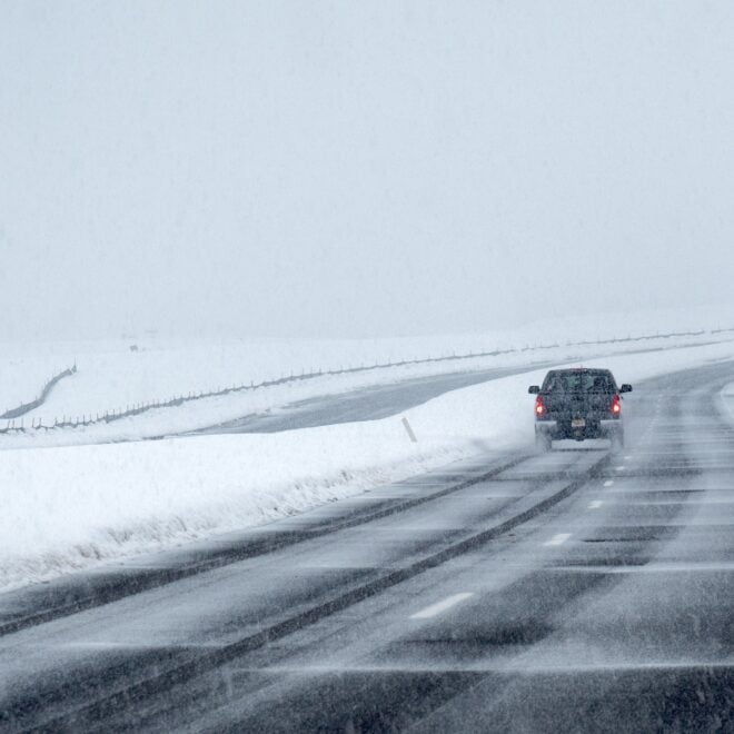
By noaa.gov, noaa.gov. NOAA’s U.S. Winter Outlook, released today, shows how El Nino will likely influence the upcoming winter months (December 2026 to February 2027), with warmer-than-average temperatures expected across the northern U.S.; wetter-than-average conditions likely across the southern U.S., from California to Florida, and along the Eastern Seaboard; and drought improving… SEE MORE
Kelvin Waves, Explained
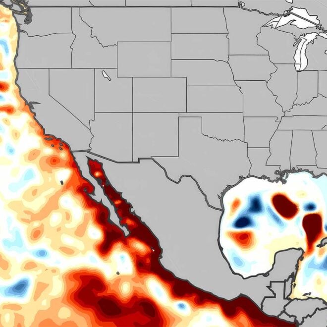
By fisheries.noaa.gov, fisheries.noaa.gov. You may be hearing a lot about Kelvin waves in the news. What are Kelvin waves, and how are they related to El Niño? We asked oceanographer Michael Jacox, from the Southwest Fisheries Science Center and NOAA Physical Sciences Laboratory, to explain the phenomenon. What is a Kelvin wave and… SEE MORE

How Will El Niño Affect Your Local Fisheries?
By fisheries.noaa.gov, fisheries.noaa.gov. What does El Niño mean for U.S. fisheries and marine life? What can fishermen and coastal communities expect to observe and experience as this event continues and potentially intensifies? And what are scientists at NOAA Fisheries doing to track this natural phenomenon? The El Niño-Southern Oscillation is a powerful… SEE MORE
FEATURED CONTENT

Quietly Sophisticated: The Hood 42 LM
By US Harbors At first glance, the Hood 42 LM might be confused for a boat that worked the Maine coast fifty years ago, but upon further inspection, the fifteen coats of Epifanes varnish over mahogany and custom-cast bronze hardware reveal that this boat was built for cruising. Beyond the… Learn More

NOAA’s flood mapping tool now covers nearly 100% of U.S.
By fisheries.noaa.gov, fisheries.noaa.gov. NOAA’s National Weather Service announced today that Flood Inundation Mapping (FIM), a revolutionary tool for predicting river flooding, is now available on an experimental basis to nearly 100% of the U.S. population. This is a massive expansion from FIM’s prior coverage of 60% of the country. FIM… SEE MORE
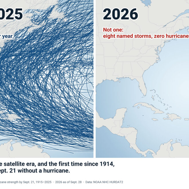
A Hurricane Season Without Hurricanes, So Far
By US Harbors Every Atlantic hurricane season from 1915 through 2025 produced at least one hurricane by September 21, and most produced about four. This year has produced none. Tropical Storm Hanna, the season’s eighth named storm, formed this week far east of Bermuda and is expected to stay a… SEE MORE
Featured Local Businesses

Weekend nor’easter likely to bring damaging winds, coastal flooding
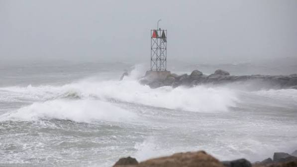
By noaa.gov, noaa.gov. Forecasters at NOAA’s National Weather Service (NWS) are monitoring a powerful nor’easter bringing damaging wind gusts and dangerous coastal flooding to the Northeast this weekend. The New York City metro area and New Jersey may be especially impacted by this storm. A rapidly deepening storm along the… SEE MORE
Ocean Indicators Help Track El Niño’s Arrival on the West Coast
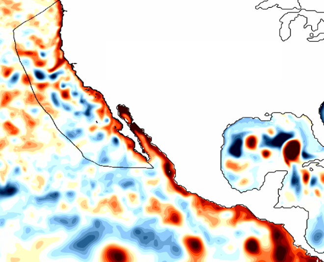
By fisheries.noaa.gov, fisheries.noaa.gov. Has El Niño reached the West Coast? You might think it has. After all, the ocean off Southern and Central California is unusually warm. But that is from a recent marine heatwave predates the current El Niño. Much of the Pacific Coast is experiencing relatively normal conditions while still… SEE MORE