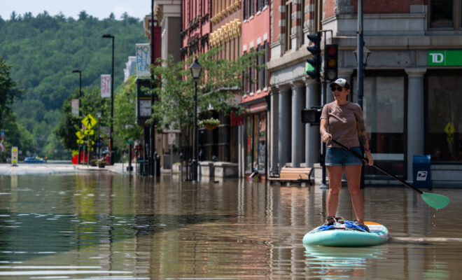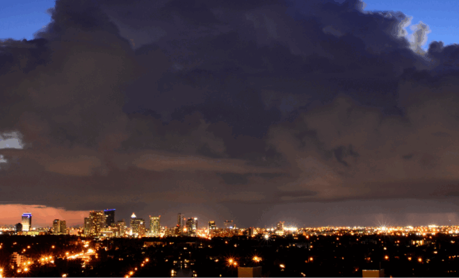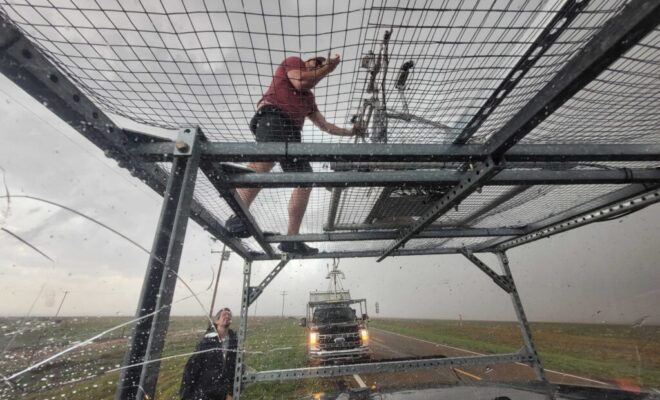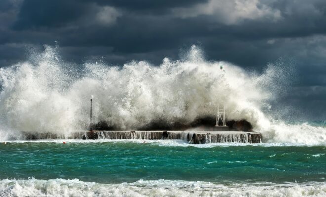
Image Credits: Pexels.

Mapping the Waters of Valdez, Alaska for Tsunami and Landslide Preparedness

7/31/2025 - By oceanservice.noaa.gov. A new partnership between NOAA and the City of Valdez, Alaska will help emergency managers prepare for future earthquakes, tsunamis, and underwater landslides. This partnership will support mapping 34 square nautical miles of the Port of Valdez — an important gateway to interior Alaska. A devastating earthquake in 1964 caused… SEE MORE
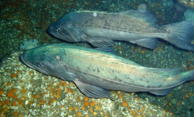
Image Credits: Animalia.

The Gentle Wisdom of Pacific Rockfish: A Story of Natural Adaptation

7/29/2025 - By US Harbors. Discovering how one of the ocean's most patient survivors navigates changing waters—and what it teaches West Coast anglers. Something beautiful is unfolding beneath Pacific waters. As ocean conditions gently shift and change, black rockfish have revealed a survival approach that speaks to nature's quiet wisdom: they're thoughtfully… SEE MORE
Image Credits: ncei.noaa.gov.

May Brought Storms and Heavy Rain from the South to the Northeast; Spring was the Second Warmest on Record

6/13/2025 - By ncei.noaa.gov. Key Points: Thirteen states experienced one of their five wettest Mays on record, while dry conditions persisted across much of the Northwest. Two significant severe weather outbreaks on May 15–16 and May 18–20 resulted in over 200 tornado reports, very large hail and damaging winds. Alaska had its… SEE MORE
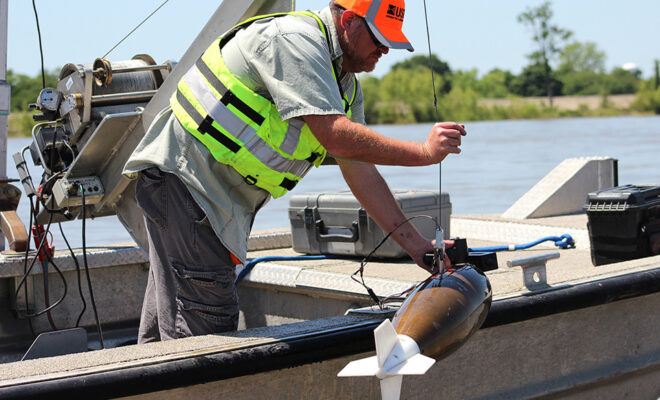
Lane Simmons of the U.S. Geological Survey collects a water-quality sample at the Mississippi River at Baton Rouge, Louisiana (USGS 07374000). Credit: Scott Dennis, USGS.

NOAA Forecasts an Average Summer ‘Dead Zone’ in Gulf

6/11/2025 - By oceanservice.noaa.gov. Low-oxygen conditions expected to impact 5,574-square-mile area NOAA is forecasting this summer’s Gulf of America (formerly Gulf of Mexico) “dead zone” to be average-sized, covering approximately 5,574 square miles — an area roughly three times the size of Delaware. The dead zone, or hypoxic zone, is an area of… SEE MORE
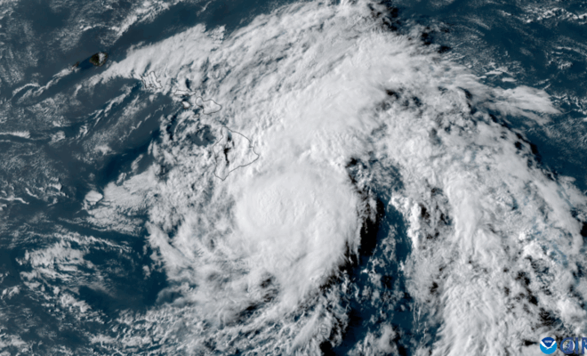
Satellite image of Tropical Storm Hone from NOAA's GOES-18 satellite on August 24, 2024, as it approached the Big Island of Hawaii and shortly before the storm intensified to hurricane strength.

NOAA Predicts Less Active 2025 Central Pacific Hurricane Season

5/19/2025 - By noaa.gov. Forecasters urge public to prepare well ahead of upcoming season Today, forecasters with NOAA’s Central Pacific Hurricane Center and Climate Prediction Center announced a 30% chance of below-normal tropical cyclone activity for the upcoming central Pacific Hurricane Season. The 2025 outlook also indicates a 50% chance of a near-normal hurricane season and… SEE MORE
Image Credits: Rawpixel.

US will Stop Tracking the Costs of Extreme Weather Fueled by Climate Change

5/11/2025 - By Alexa St. John. The National Oceanic and Atmospheric Administration will no longer track the cost of climate change-fueled weather disasters, including floods, heat waves, wildfires and more. It is the latest example of changes to the agency and the Trump administration limiting federal government resources on climate change. NOAA… SEE MORE