Latest Fishing Stories Filter

NOAA’s Use Of Cloud Infrastructure Grows To Include Weather Prediction Models
By noaa.gov, noaa.gov. In the latest innovation to NOAA’s operational weather forecast model technology, the agency announced today that it is moving its high-performance supercomputing operations to the commercial cloud. This transition of NOAA’s Weather and Climate Operational Supercomputing System (WCOSS) supports current and future improvements to NOAA’s suite of… SEE MORE
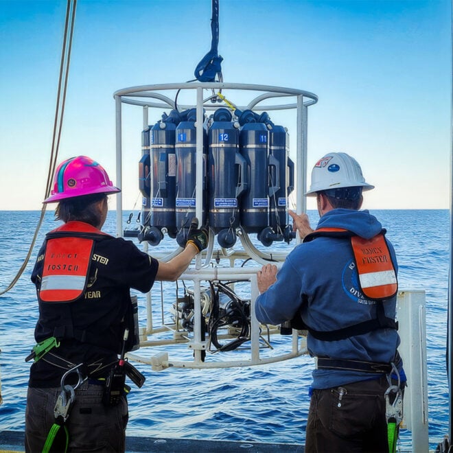
Why NOAA Matters: Maine's Island Institute Makes the Case
Why NOAA Matters: Maine’s Island Institute Makes the Case Every mariner who checks a forecast before leaving the dock, every harbormaster tracking a king tide, and every fishing family checking for water temperature shifts is relying, often without thinking about it, on the National Oceanic and Atmospheric Administration, commonly shortened… SEE MORE
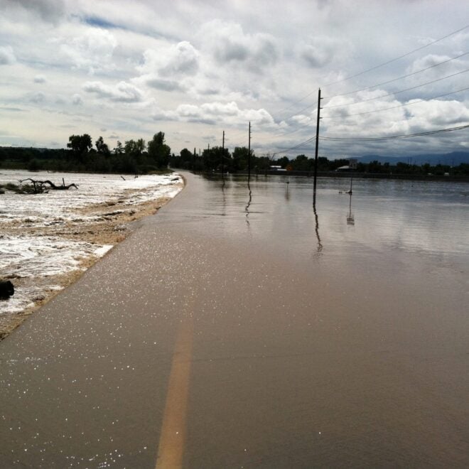
Sudden Danger: The Science And Stakes of Flash Flood Forecasting
By research.noaa.gov, research.noaa.gov. Though not as feared as tornadoes, hail, or lightning, flash floods are one of the deadliest weather hazards in the United States. While the number of fatalities can vary dramatically from year to year, the national average for flood deaths is 88. Lightning accounts for an average of… SEE MORE
FEATURED CONTENT

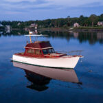
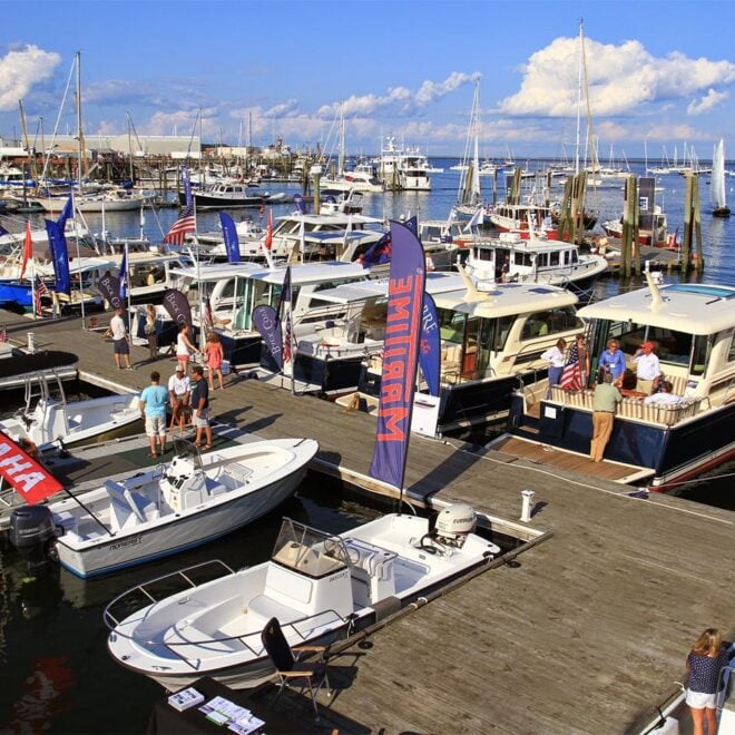
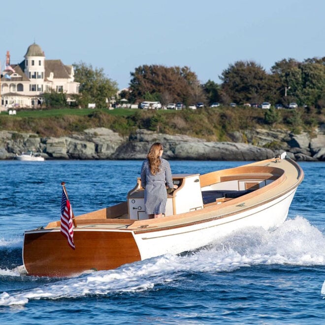
2026 Miami Boat Show Wrap Up
By US Harbors The 2026 Discover Boating Miami International Boat Show had a new layout designed to create what show producer Informa Markets called a “more connected and accessible experience." The in-water portion of the show returned to the docks along Collins Avenue on Miami Beach — a fitting backdrop… Learn More
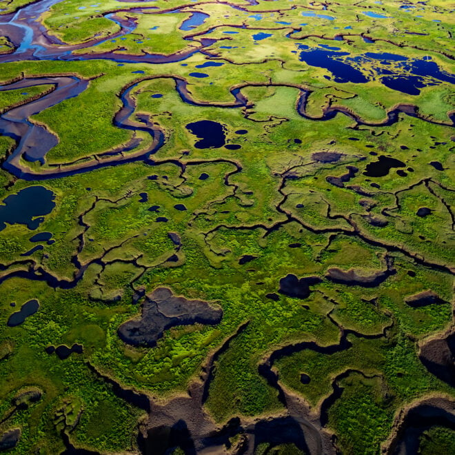
The Coast Is Clear-er: NOAA Unveils New Land Cover Maps 900 Times Greater In Detail
By noaa.gov, noaa.gov. NOAA is releasing new, higher-resolution land cover maps for coastal Alabama, Mississippi, Northeastern Ohio, Rhode Island, and the Puget Sound in Washington. The data will be made available through the Digital Coast website and will provide these communities with better information for decisions related to stormwater management, water quality… SEE MORE
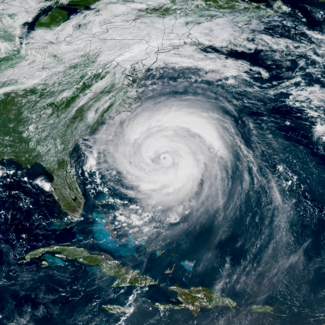
NOAA Predicts Below-Normal 2026 Atlantic Hurricane Season
By noaa.gov, noaa.gov. Early preparation essential to staying safe all season. Forecasters with NOAA’s National Weather Service are predicting a below-normal hurricane season for the Atlantic basin this year. NOAA’s outlook for the 2026 Atlantic hurricane season, which runs June 1 to November 30, predicts a 35% chance of a… SEE MORE
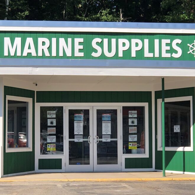
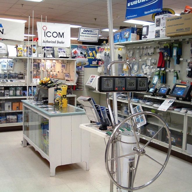
Featured Local Businesses


Get a Fishing License Online
Get your fishing license today using this tool (provided by Take Me FishingTM). Click on a state to find out everything you need to know about fishing licenses. A Fishing license is one of the most important items any angler needs before they go fishing– every purchase helps protect, preserve and enhance the sport of fishing today and for generations to come.