Welcome to St. Marks, St. Marks River, FL
The city of St. Marks is located near where the Wakulla River and St. Marks River join before flowing into the Apalachicola Bay. The city is home to the St. Marks Light. St. Marks has a strong connection with nearby Tallahassee, as they share a 16 mile paved bike and equestrian trail called the Tallahassee-St. Marks Historic Railroad State Trail that ends along the St. Marks waterfront.
Boating Resources for St. Marks, St. Marks River, FL
Important Contacts
Harbormaster in St. Marks, St. Marks River, FL
Charts, Navigation, & Guides
Online Nautical Chart for St. Marks, St. Marks River, FL
Pilot Guide Info for St. Marks, St. Marks River, FL
Important Locations & Services
Weather Conditions & Forecasts
Check Tides in St. Marks, St. Marks River, FL
Print a Tide Chart for St. Marks, St. Marks River, FL
Other Resources
FEATURED CONTENT

In The Zone: The Sabre 51 Salon Express
By US Harbors When Sabre Yachts completed construction of hull number 200 of its 48 Salon Express model, more than half the crew who built it had also worked on hull number one. The average tenure on that line was 12 years, and they produced a yacht that proved to… Learn More
Coastal News Updates See All
2025 Species Recovery Grant Awardees Announced
By Fisheries.Noaa.Gov, fisheries.noaa.gov. NOAA awarded $4.2 million in funding to states and tribes through its Species Recovery Grant Program. These grants promote the recovery of species listed as endangered or threatened under the Endangered Species Act. From these funds: $1.9 million supports six new awards to five states: Alaska, California, Florida,… SEE MORE
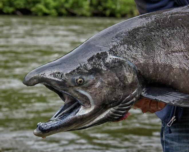
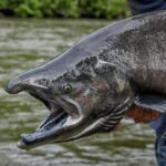
Shedding New Light on Yukon River Chinook Salmon Declines
By Fisheries.Noaa.Gov, fisheries.noaa.gov. Yukon River Chinook salmon have been declining for decades. These declines have limited salmon harvest and posed hardships for local communities that depend on these fish for their food sovereignty, culture, and livelihoods. Adult run sizes recently reached their lowest point ever following a downturn from 2019… SEE MORE
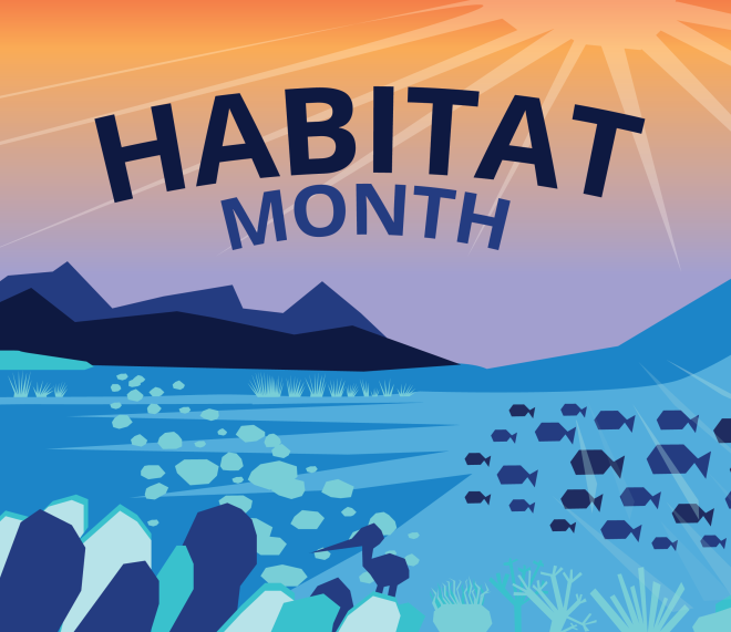
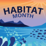
Celebrating Habitat Month
By Fisheries.Noaa.Gov, fisheries.noaa.gov. July is Habitat Month at NOAA Fisheries! All month long, we’ll be sharing how we conserve and restore habitat to sustain our nation’s fisheries and support coastal communities. NOAA conserves habitats like wetlands, rivers, and coral reefs to support fisheries—but habitat isn’t valuable just for the home it provides for fish and wildlife.… SEE MORE