Welcome to Friendship, ME
Featured Local Businesses


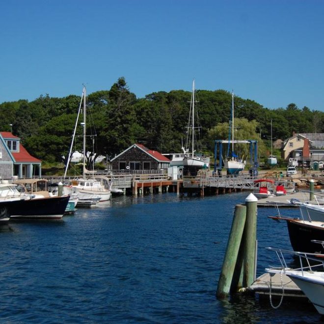
Boating Resources for Friendship, ME
Important Contacts
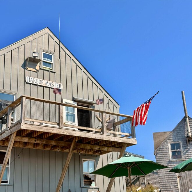
Harbormaster in Friendship, ME
Charts, Navigation, & Guides
Online Nautical Chart for Friendship, ME
Pilot Guide Info for Friendship, ME
Important Locations & Services
Weather Conditions & Forecasts
Print a Tide Chart for Friendship, ME
Other Resources
FEATURED CONTENT

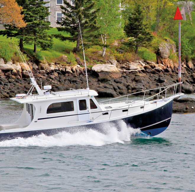
In The Zone: The Sabre 51 Salon Express
By US Harbors When Sabre Yachts completed construction of hull number 200 of its 48 Salon Express model, more than half the crew who built it had also worked on hull number one. The average tenure on that line was 12 years, and they produced a yacht that proved to… Learn More
Coastal News Updates See All
An Easy Fix for Faded Boat Registration Numbers on Your Dinghy
By Arnie Hammerman, best4boats.com. If your dinghy’s registration numbers are peeling, fading, or falling off entirely, you’re not alone — and there’s a better solution than trying to paint or stick individual decals back on. A hands-on gear column from Best4Boats walks through a practical, long-lasting fix using custom-made number… SEE MORE
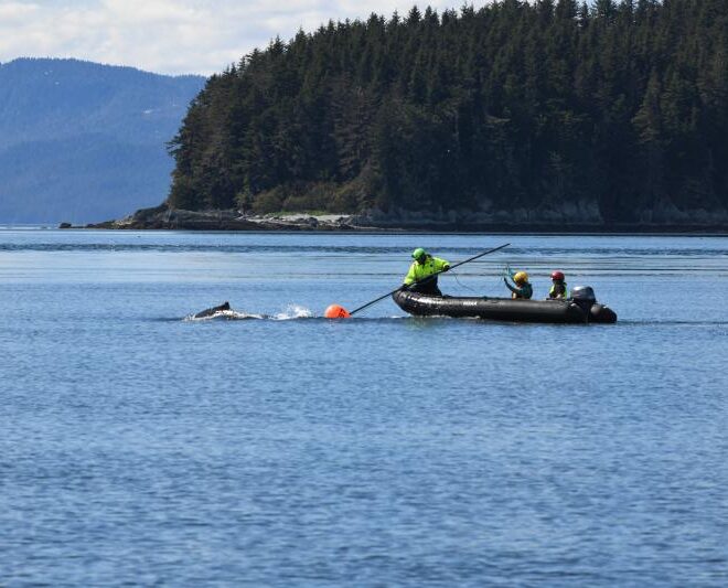
Humpback Whale Successfully Freed from Entanglement in Endicott Arm
By fisheries.noaa.gov, fisheries.noaa.gov. The Tracy Arm-Fords Terror wilderness, located 50 miles south of Juneau, Alaska, features a pair of steep glacial fjords: Tracy Arm and Endicott Arm. While remote, the waters in this area see steady vessel traffic, ranging from massive cruise ships and small charter boats to commercial fishing… SEE MORE

Lights, Camera, Seafood! Bertha Fontaine and the Fisheries Test Kitchen
By Noaa.gov, noaa.gov. The scene: Boxy television cameras point toward a brightly lit table. Plates of meticulously styled seafood ingredients sit between charming decorations. With her hair in a voluminous bouffant, an energetic woman in a neat dress and a long strand of pearls speaks to the camera in a… SEE MORE