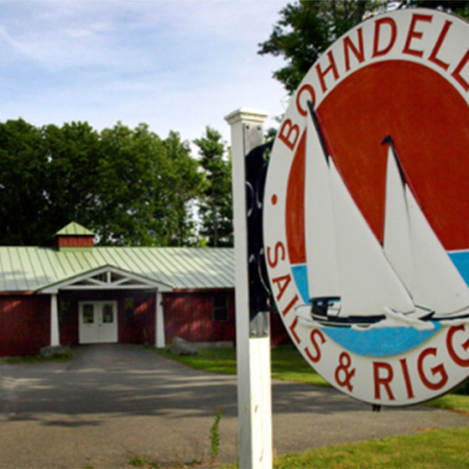
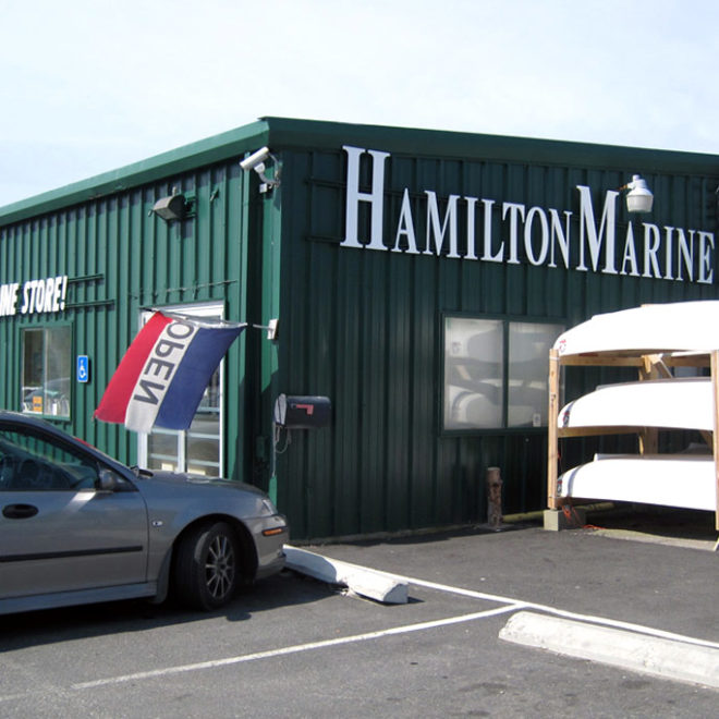
Weather Alerts
Gale Warning issued February 16 at 3:29PM EST until February 18 at 6:00AM EST by NWS Gray ME
* WHAT...West winds 25 to 35 kt with gusts up to 45 kt and seas 5
to 8 ft.
* WHERE...Penobscot Bay and Casco Bay.
* WHEN...Until 6 AM EST Tuesday.
* IMPACTS...Strong winds will cause hazardous seas which could
capsize or damage vessels and reduce visibility.
Winter Storm Warning issued February 16 at 4:54PM EST until February 17 at 1:00AM EST by NWS Gray ME
* WHAT...Heavy mixed precipitation. Additional snow accumulations up
to two inches for a storm total of 4 to 6 inches, sleet
accumulations around one half of an inch, and ice accumulations up
to two tenths of an inch.
* WHERE...Coastal Waldo, Interior Waldo, Knox, Lincoln, and
Sagadahoc Counties.
* WHEN...Until 1 AM EST Monday.
* IMPACTS...A period of mixed precipitation is expected with air
temperatures remaining below freezing. Expect slippery road
conditions and avoid travel if possible.
Wind Advisory issued February 16 at 1:24PM EST until February 18 at 1:00AM EST by NWS Gray ME
* WHAT...West winds 15 to 25 mph with gusts up to 55 mph expected.
* WHERE...Portions of south central, southwest, west central, and
western Maine and central and northern New Hampshire.
* WHEN...From 9 AM Monday to 1 AM EST Tuesday.
* IMPACTS...Strong winds will down tree limbs and blow around
unsecured objects. A few trees and power lines could be downed.
The power outage threat is elevated, especially where ice
accumulated Sunday afternoon.
* ADDITIONAL DETAILS...Winds shift west tonight, gusting 25 to 35
mph. West winds then rapidly increase Monday morning. Peak winds
begin to subside Monday evening.