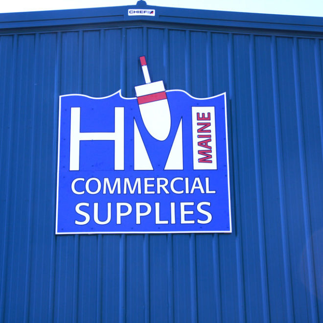
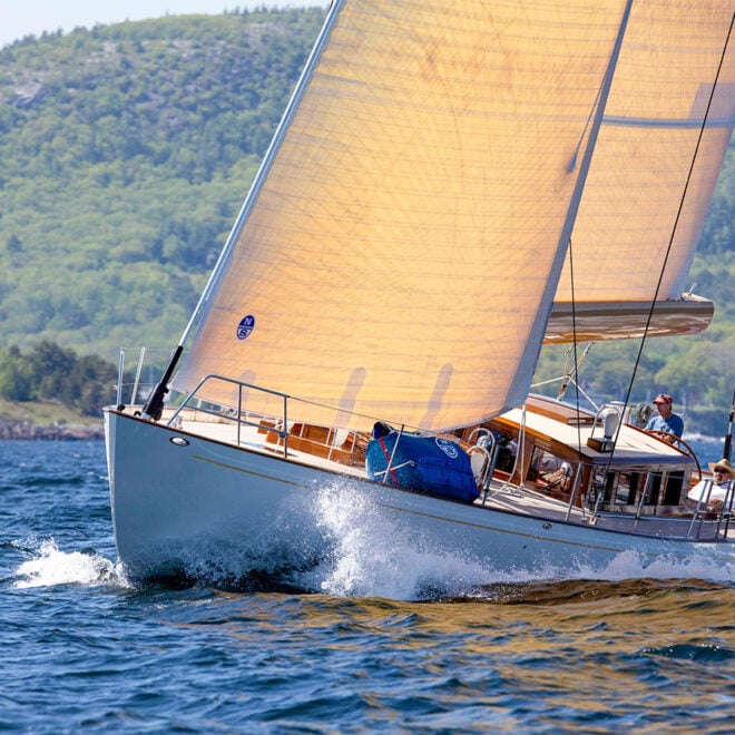
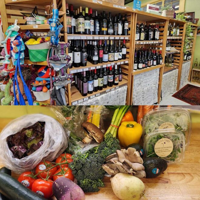
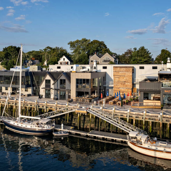
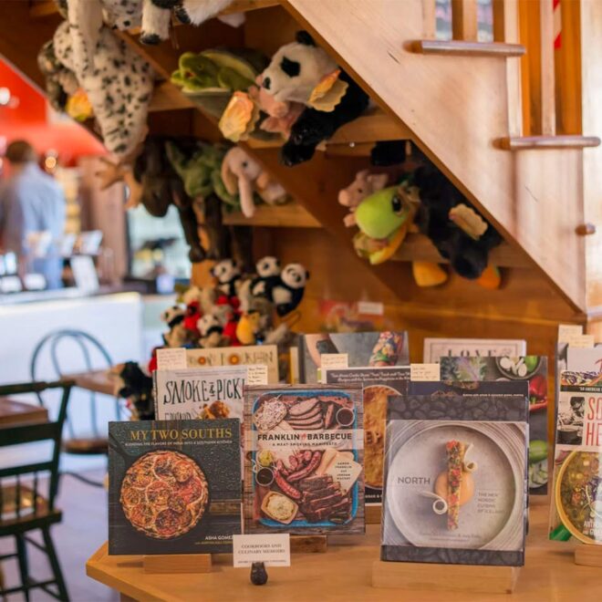
Weather Alerts
Gale Warning issued January 19 at 2:48PM EST until January 20 at 7:00AM EST by NWS Gray ME
* WHAT...North winds 20 to 25 kt with gusts up to 40 kt and seas
3 to 6 ft expected.
* WHERE...Coastal Waters from Stonington, ME to Port Clyde, ME
out 25 NM, Penobscot Bay, Coastal Waters from Port Clyde, ME
to Cape Elizabeth, ME out 25 NM and Coastal Waters from Cape
Elizabeth, ME to Merrimack River, MA out 25 NM.
* WHEN...From 9 PM this evening to 7 AM EST Monday.
* IMPACTS...Strong winds will cause hazardous seas which could
capsize or damage vessels and reduce visibility.
Winter Storm Warning issued January 19 at 3:03PM EST until January 20 at 7:00AM EST by NWS Gray ME
* WHAT...Heavy snow expected. Total snow accumulations between 5 and
7 inches.
* WHERE...Portions of south central and southwest Maine and central,
northern, and southern New Hampshire.
* WHEN...Until 7 AM EST Monday.
* IMPACTS...Periods of moderate and heavy snow will combine with low
visibility to create dangerous driving conditions. Areas of
blowing snow could significantly reduce visibility. The hazardous
conditions could impact the Monday morning commute.
* ADDITIONAL DETAILS...The heaviest snow will be between 7 to 8 PM
and 2 to 3 AM, and travel impacts will be at their worst.