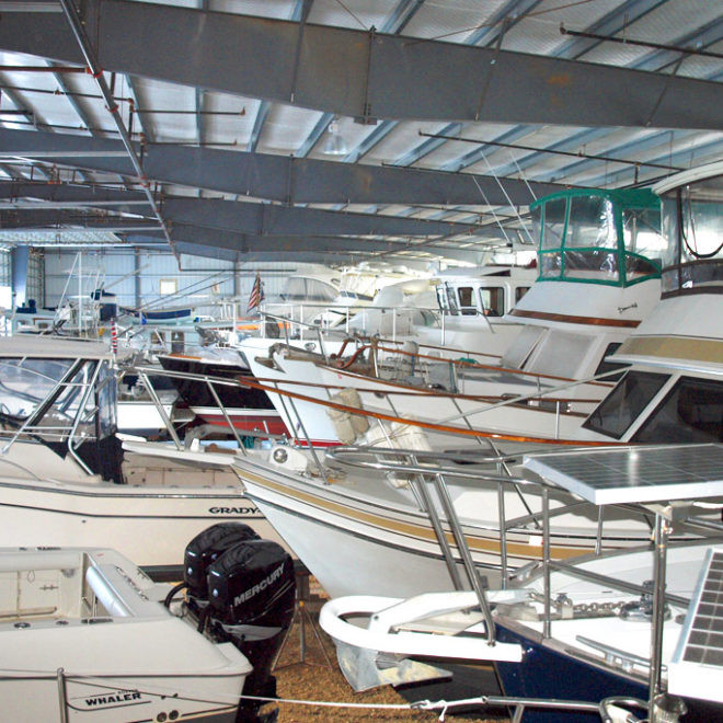
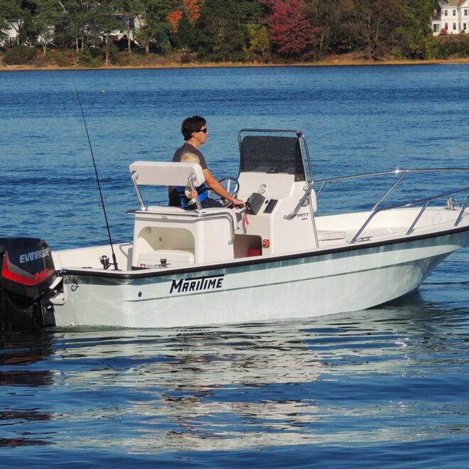
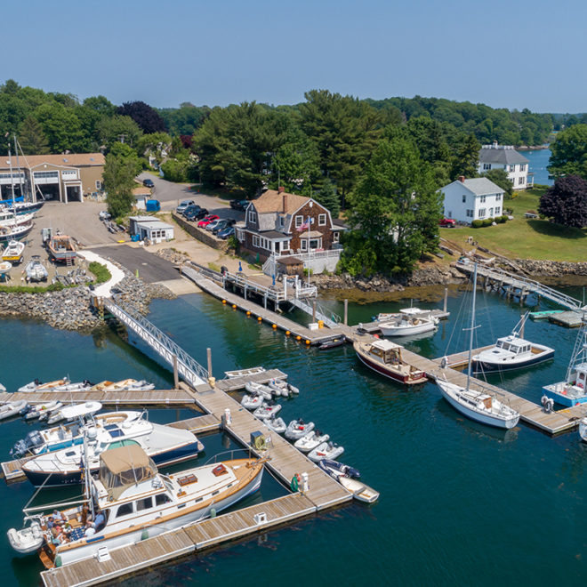
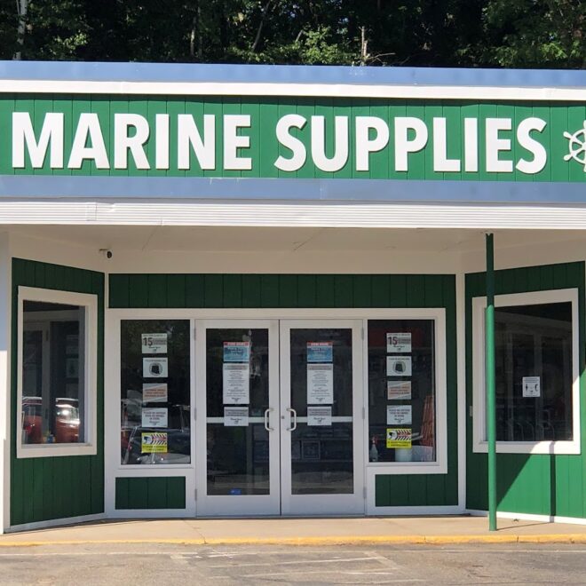
Weather Alerts
Winter Storm Warning issued February 15 at 6:58AM EST until February 17 at 1:00AM EST by NWS Gray ME
...WINTER STORM TO BRING SNOW, SLEET, AND FREEZING RAIN...
.Low pressure brings a period of snow tonight into Sunday. Snow then
changes to a mix snow, sleet, and freezing rain across most of the
area as one low passes to the west on Sunday, and a secondary low
develops in the Gulf of Maine. The storm then moves away Sunday
night.
* WHAT...Heavy mixed precipitation expected. Total snow
accumulations between 6 and 9 inches, sleet accumulations around 1
inch, and ice accumulations around three tenths of an inch.
* WHERE...Portions of southwest Maine and central, northern, and
southern New Hampshire.
* WHEN...From 7 PM this evening to 1 AM EST Monday.
* IMPACTS...A period of mixed precipitation is expected with air
temperatures remaining below freezing. Expect slippery road
conditions and avoid travel if possible. A snowstorm will bring
plowable snow to the region with a period of moderate travel
impacts expected. Periods of moderate snow and low visibility will
be the biggest hazards.