Prominent Features
Gerrish Island, forming the east side of the harbor entrance, has many summer homes. A park and government reservation, with conspicuous buildings, are on the southwestern end. The old observation tower on the south end of the island is most conspicuous. A long pier is at the southwestern end of the island. The area just northwest of the pier is used as a bathing beach; boaters either beach their craft or anchor offshore.
For craft approaching the Portsmouth harbor/ Kittery Point area, the large hotel with a charted cupola at the southwest end of New Castle Island is prominent. Other landmarks are: the stone building and square tower of the former naval prison and the water tank on Seavey Island; Whaleback Light; the weathered buildings with conspicuous cupola of the abandoned Coast Guard station on Wood Island; and numerous standpipes, elevated tanks, church spires, and stacks in the area, most of which are charted. The old blockhouse and parapets of Fort McClary, on Kittery Point, just westward of the entrance channel range lights, are also conspicuous.
Whaleback Light, 59 feet above the water, is shown from a 75-foot gray granite conical tower on Whaleback Reef at the northeast side of the outer entrance. A fog signal is at the light.
Portsmouth Harbor (New Castle) Light, 52 feet above the water, is shown from a white conical tower attached to a house on Fort Point, the northeast end of New Castle Island. A fog signal is at the light.
Portsmouth Harbor Coast Guard Station and lookout tower are on Fort Point.
Pepperrell Cove is on the eastern side of the harbor, northeastward of Portsmouth Harbor Light, and on the north side of Fishing Island, which is grassy. The cove is subject to shoaling and has depths of about 7 to 11 feet. It is mainly used by fishing vessels, yachts, and small craft. A buoy northwestward of Fishing Island marks the entrance to the cove.
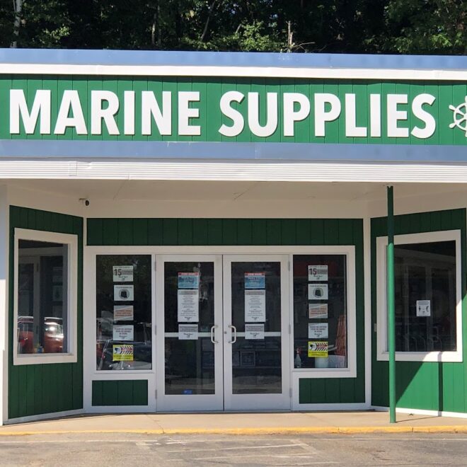
Kittery Point has a public wharf and float landings with 12 feet reported alongside. Gasoline and water are available at the float, and ice, provisions, and marine supplies are available at the wharf. A small-craft launching ramp is alongside the wharf. The Pepperrell Cove Yacht Club, also at the wharf, has a float landing on the east side of the wharf and maintains guest moorings.
Moorings in the cove are under the supervision of the harbormaster, who can be found at the landing or contacted VHF 16
Chauncey Creek, which empties into the east side of Pepperrell Cove, has its entrance between Gooseberry Island and Phillips Island and extends about 1.2 miles eastward between Gerrish Island and the mainland. The creek is crossed by an overhead power cable with a reported clearance of 40 feet and a fixed bridge. There is considerable small-craft activity in the creek, which dries in its upper half.
Hick Rocks, a drying ledge with sections that uncover 11 and 7 feet, extends 350 yards from the southwest end of Kittery Point and is marked by a daybeacon on the ledge and by a buoy at its southern end.
Back Channel, with its eastern entrance between Clarks Island and Hick Rocks, extends westward between Seavey Island and the Kittery mainland. It rejoins Piscataqua River westward of Badgers Island. There are landings for small craft and several wharves with depths of 8 to 9 feet, which are no longer used commercially except for some fishing. A town wharf and float landing are about 125 yards westward.
Tides and Currents
The mean range of tide is 8.7 feet at Kittery Point and 6.4 feet at Dover Point. The tidal currents are strong, and special care is required. The maximum average velocity in the river occurs off Nobles Island and Dover Point at the entrance to Little Bay, and amounts to more than 4 knots on the ebb. The irregularities of width and depth plus the abrupt directional changes of course result in changes in the direction of the currents and cause strong crosscurrents.
Dangers
The principal outlying dangers leading to the Portsmouth Harbor area are marked so that no difficulty should be experienced when entering in clear weather, day or night.
Gunboat Shoal, rocky and covered 19 feet, on the west side of the entrance about 2.2 miles southward of Whaleback Light, is marked on its northeast end by a lighted bell buoy. An area of rocks and ledges, some of which uncover up to 5 feet, extends about 1.5 miles eastward of Whaleback Light and up to 0.6 mile offshore. They include West Sister that uncovers 3 feet and is marked by a buoy off its southeast end; East Sister, an unmarked ledge which uncovers 2 feet about 0.5 mile northeastward of West Sister; Phillips Rock, unmarked and covered 4 feet, about 0.2 mile southwestward of West Sister; Horn Island, surrounded by a drying reef; and 4-foot-high White Island and White Island Reef, southeastward of which are a number of unmarked rocks.
Kitts Rocks, covered 11 feet, are on the east side of the channel, about 0.4 mile southward of Whaleback Light, and are marked by a lighted whistle buoy to the southward. Wood Island Ledge, extending 0.2 mile off Wood Island, is marked off its southwest end by a lighted buoy. Stielman Rocks, covered 2 feet, are on the west side of the entrance about 500 yards southward of Fort Point Light; they are marked by a daybeacon on the rocks and a buoy on the northeast end. Cod Rock, covered 17 feet, is 225 yards northwest-ward of Fort Point. The rock is marked by a distinct, violent eddy just before low water slack.
Anchorages
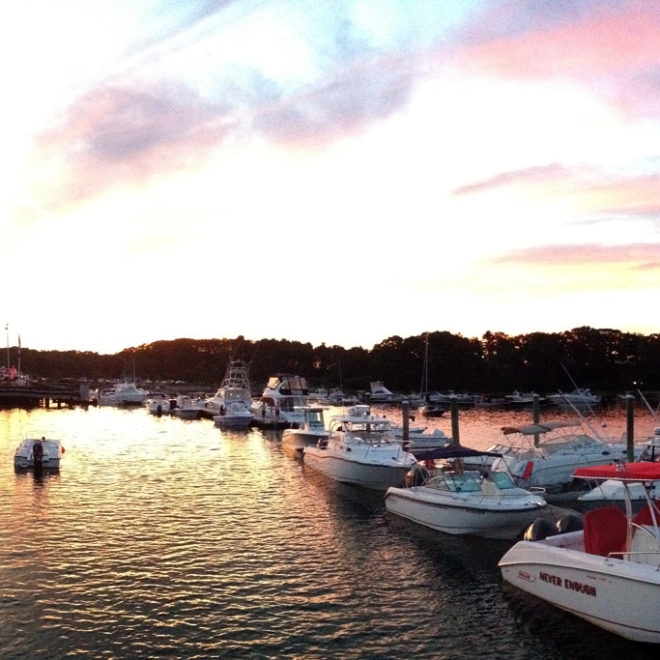
Yachts and smaller vessels usually anchor in Pepperrell Cove, or northward of New Castle Island.
Navigation:


