Search for More News:
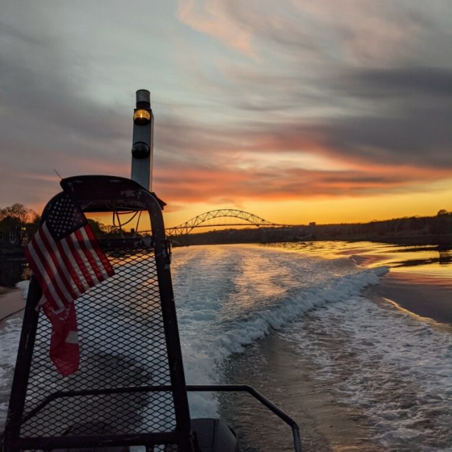
News from Our Coasts: May 2021
NEWS & UPDATES FOR MAY Updates from US Harbors News & Virtual Events from Our Partners Updates from Our Coastal Business Community Photos of the Month Updates from US Harbors Don't forget to cast your vote for the Best Harbor in the US. The winning harbors will be announced on… SEE MORE
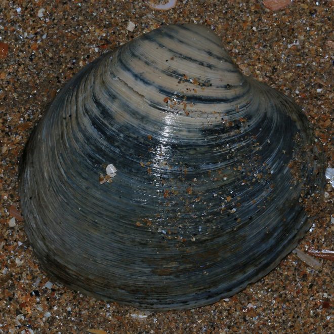
NOAA Announces Specs for Atlantic Surfclam and Ocean Quahog
NOAA Fisheries is setting 2021 and projecting 2022-2026 commercial harvest quotas for Atlantic surfclams and ocean quahogs. The final quotas, which have remained unchanged since 2004, are: Atlantic surfclams: 3.4 million bushels Ocean quahogs: 5.36 million bushels Maine ocean quahogs: 100,000 Maine bushels In addition, the Atlantic surfclam minimum size… SEE MORE
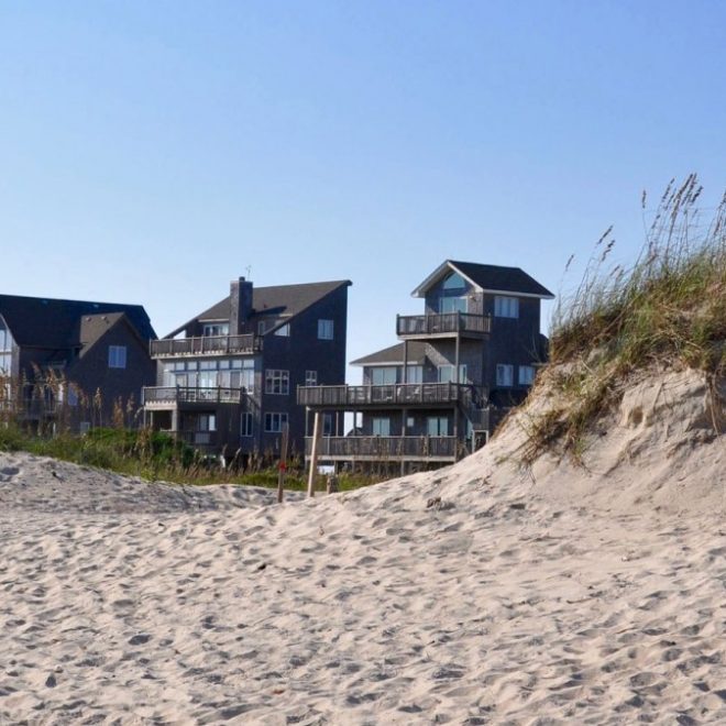
How to Prepare Your Coastal Property for Sea-Level Rise and Weather Extremes
By JAN ELLEN SPIEGEL. Your yard can be part of the solution. People who live along the Atlantic seaboard are accustomed to dealing with environmental extremes: salt spray that can kill just about anything green; relentless wind that whips vegetation into Leaning Tower of Pisa shapes; sand, shells, rocks and… SEE MORE
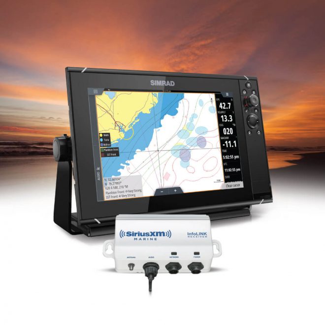
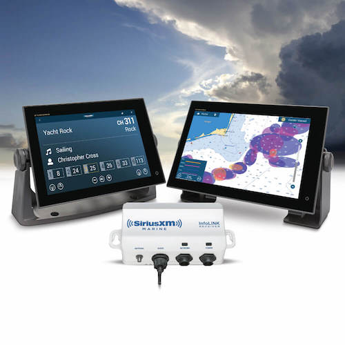
Fish Mapping: Now Available on Simrad!
Find the Spots Where the Fish Are! SiriusXM Marine’s Fish Mapping service is now available on Simrad NSO and NSS Evo3/3S displays via the WM-4 receiver. Whether you’re competing in a tournament, out fishing for fun, or taking clients on a charter trip, Fish Mapping provides the information you need… SEE MORE
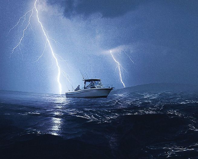
Boating 101: How to Call for Help During an Emergency
By US Coast Guard Office of Search and Rescue. A lot of mishaps can occur out on the water, but thankfully most are more inconvenient and embarrassing than anything else. But when lives are on the line – your boat is on fire or sinking rapidly with people on board,… SEE MORE

Make Money Renting Your Boat
How to Monetize Your Boat with SailMe.com? Sail.me is an advanced boat rental and charter platform, designed to offer and provide a seamless on-the-water experience. The flexible service is oriented towards maximum satisfaction and convenience for both renters and renters. Accessible on desktop, mobile, and app, the Sail.me system helps guests find their dreamboat,… SEE MORE
Paddling 101: Coast Guard Urges Labeling of Paddle Craft
SEATTLE — Reports of unmanned and adrift paddle craft continue to divert federal, state, and local response boat and air crews on hundreds of dangerous and costly searches that turn out to be false alarms. Since 2016, 13th Coast Guard District aircraft and vessels have launched on 746 individual cases of vessels… SEE MORE
News from Our Coasts: April 2021
NEWS & UPDATES FOR APRIL Updates from US Harbors News & Virtual Events from Our Partners Updates from Our Coastal Business Community Photos of the Month Updates from US Harbors Our third annual Best Harbor contest kicked off at the beginning of April. People can vote on any of… SEE MORE
New Podcast Episode: Paul Anderson Talks About Collaboration and Innovation in Fisheries Management
In this new episode of our USH Harbors podcast--All About Our Coasts--Paul Anderson, Director of the Maine Center for Coastal Fisheries, talks with US Harbors' president, Anastasia Fischer, about the innovative work they are doing to create new frameworks for fisheries management in the Gulf of Maine. Innovation through collaboration… SEE MORE
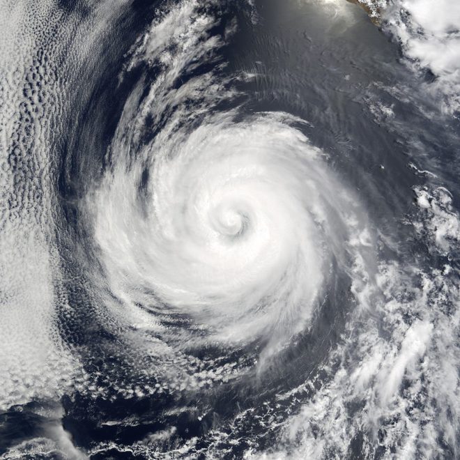
‘Average’ Atlantic Hurricane Season to Reflect More Storms
Beginning with this year’s hurricane season outlooks, NOAA’s Climate Prediction Center (CPC) will use 1991-2020 as the new 30-year period of record. The updated averages for the Atlantic hurricane season have increased with 14 named storms and 7 hurricanes. The average for major hurricanes (Category 3, 4 or 5) remains… SEE MORE
Extended and New Slow Zones to Protect Right Whales
NOAA Fisheries announces the extension of two Slow Zones set to expire south of Nantucket and establishes another Slow Zone southeast of Chatham, MA. On April 9, 2021 several aggregations of right whales were detected south of Nantucket, MA by the NOAA North Atlantic Right Whale Sighting Survey and southeast of… SEE MORE
How to Find Fish with Your Furuno
Fish Mapping: Now Available on Furuno! SiriusXM Marine’s Fish Mapping service is now available on Furuno TZtouch3 displays via the BBWX4 receiver. Whether you’re competing in a tournament, out fishing for fun, or taking clients on a charter trip, Fish Mapping provides the information you need to help get you… SEE MORE