Information and Resources to help you navigate Covid-19
We here at US Harbors are collecting all the information we can to help you through these strange times.
The situation around the country, and the world, is changing at a rapid rate. We endeavor to keep our information up to date and relevant. Please be aware that regulations do vary from state to state. You can find all our Covid-19 related news under this tag /covid-19
Is Boating a Safe Social Distancing Activity?
In most circumstances, boating is a safe activity in terms of limiting infection. Please be aware of the specific rules at the local marina or town boat ramp – getting into the water can be the most high risk part of the boating trip, depending on how busy the boat launch area is. Please also take into consideration who accompanies you on your boat. It is advised to limit boat passengers to those already in your household. Some states have a limit on the number of people allowed on a boat.
Once out on the water, maintain distance from other boats, and be extra vigilant of those in the water around you. Boaters, as a type, are generally very safety conscious, and that attitude is just as important now as it ever is. Every prevented accident is one less thing that our brave key workers have tackle – keeping the resources available to deal with the covid-19 pandemic.
More rules, tips and advice can be found here: Must-Know Rules for 2020 Summer Boating During COVID 19
Where Can I Go Boating?
What Boat Ramps are Open in My Area?
What events are still going on?
Many events have been cancelled to limit spread of the coronavirus. Some are able to transition to a virtual. online version of the event, and some are postponed till later in the year, or the following year altogether. We are still posting events on our site, however we encourage you to check directly with the organizer before attending. You can see all the events here: usharbors.com/event-listings/
Help for Coastal Businesses
We are posting updates from any and all coastal business, organization or local authority. If you want to get word out to boaters in your area, you can submit news for our weekly update here: usharbors.com/supporting-our-coastal-businesses/
Health & Safety Filter
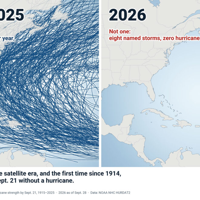
A Hurricane Season Without Hurricanes, So Far
By US Harbors Every Atlantic hurricane season from 1915 through 2025 produced at least one hurricane by September 21, and most produced about four. This year has produced none. Tropical Storm Hanna, the season’s eighth named storm, formed this week far east of Bermuda and is expected to stay a… SEE MORE
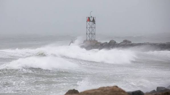
Weekend nor’easter likely to bring damaging winds, coastal flooding
By noaa.gov, noaa.gov. Forecasters at NOAA’s National Weather Service (NWS) are monitoring a powerful nor’easter bringing damaging wind gusts and dangerous coastal flooding to the Northeast this weekend. The New York City metro area and New Jersey may be especially impacted by this storm. A rapidly deepening storm along the… SEE MORE
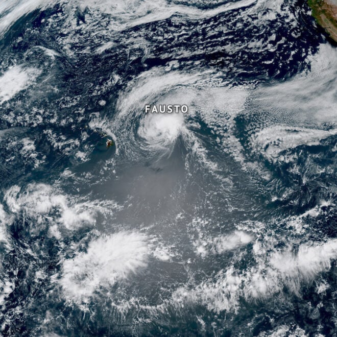
Pacific Hurricanes Fausto and Genevieve actually had origins near Africa
By noaa.gov, noaa.gov. It may be surprising, but two of the hurricanes that swirled in the Pacific last week began their journeys thousands of miles away off the western coast of Africa. Both Hurricanes Fausto and Genevieve developed from tropical waves, which are areas of disturbed weather that rolled off… SEE MORE
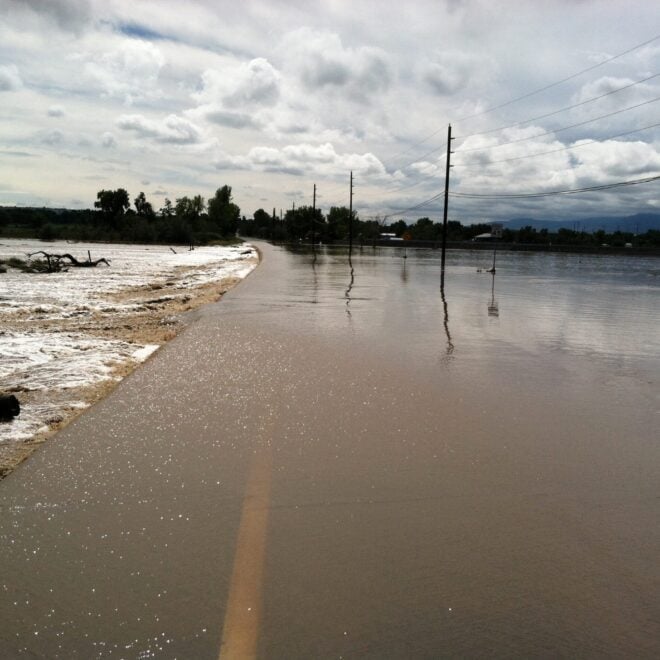
Sudden Danger: The Science And Stakes of Flash Flood Forecasting
By research.noaa.gov, research.noaa.gov. Though not as feared as tornadoes, hail, or lightning, flash floods are one of the deadliest weather hazards in the United States. While the number of fatalities can vary dramatically from year to year, the national average for flood deaths is 88. Lightning accounts for an average of… SEE MORE
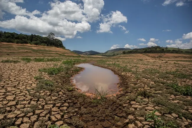
El Nino Forms, Expected To Strengthen, Say NOAA Forecasters
By noaa.gov, noaa.gov. NOAA’s National Weather Service announced today that El Nino has developed in the tropical Pacific, and issued an El Nino Advisory. El Nino, the warm phase of the El Nino Southern Oscillation (ENSO), is predicted to intensify to a moderate or strong level this fall. Forecasters predict… SEE MORE
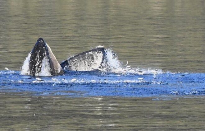
Capelin: a “Sea Canary” for Marine Ecosystem Change in Response to Heatwaves
By fisheries.noaa.gov, fisheries.noaa.gov. Capelin are a major forage fish species in high-latitude marine ecosystems. Recent heatwaves in Alaska led to a dramatic decline in capelin abundance, which can have major impacts on predators, including marine mammals, seabirds, and fish. Twenty years ago, Dr. George Rose with Memorial University of Newfoundland called capelin… SEE MORE
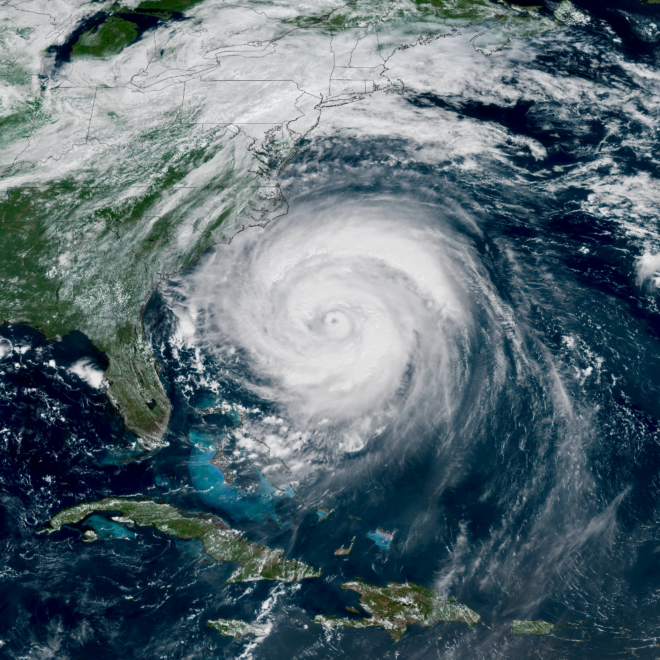
NOAA Predicts Below-Normal 2026 Atlantic Hurricane Season
By noaa.gov, noaa.gov. Early preparation essential to staying safe all season. Forecasters with NOAA’s National Weather Service are predicting a below-normal hurricane season for the Atlantic basin this year. NOAA’s outlook for the 2026 Atlantic hurricane season, which runs June 1 to November 30, predicts a 35% chance of a… SEE MORE
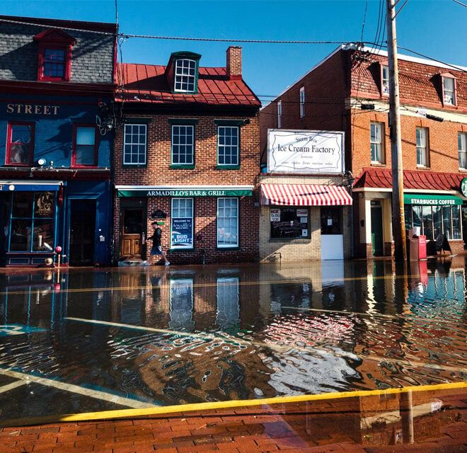
El Niño and High Tide Flooding, a Possible Double Whammy for Some Coastal Communities in 2026
By oceanservice.noaa.gov, oceanservice.noaa.gov. NOAA’s National Weather Service is predicting El Niño is likely to emerge by July 2026 and continue through the winter, and for many locations in the U.S. this could mean more high tide flooding. To understand why more flooding is expected, it helps to understand what El Niño is and… SEE MORE