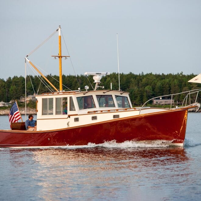
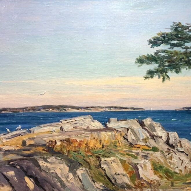
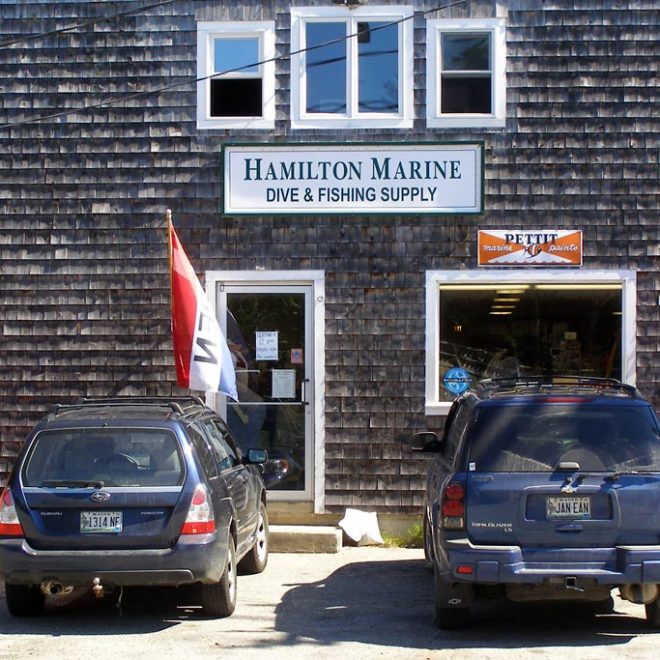
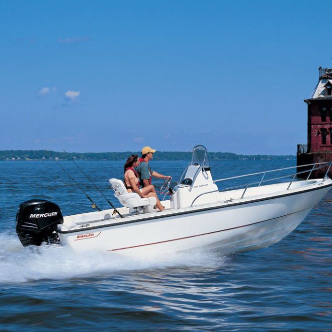
Weather Alerts
Storm Watch issued February 15 at 9:11PM EST until February 18 at 6:00AM EST by NWS Caribou ME
* WHAT...For the Gale Warning, southeast winds 20 to 30 kt with
gusts up to 45 kt and seas 11 to 16 ft expected. For the Storm
Watch, west winds 30 to 40 kt with gusts up to 50 kt and seas
12 to 17 ft possible.
* WHERE...Coastal Waters from Eastport, ME to Schoodic Point, ME
out 25 NM, Coastal Waters from Schoodic Point, ME to
Stonington, ME out 25 NM and Intra Coastal Waters from
Schoodic Point, ME to Stonington, ME.
* WHEN...For the Gale Warning, from 10 AM Sunday to 7 AM EST
Monday. For the Storm Watch, from Monday morning through late
Monday night.
* IMPACTS...Storm force winds and hazardous seas could capsize
or damage vessels and reduce visibility.
Gale Warning issued February 15 at 9:11PM EST until February 17 at 7:00AM EST by NWS Caribou ME
* WHAT...For the Gale Warning, southeast winds 20 to 30 kt with
gusts up to 45 kt and seas 11 to 16 ft expected. For the Storm
Watch, west winds 30 to 40 kt with gusts up to 50 kt and seas
12 to 17 ft possible.
* WHERE...Coastal Waters from Eastport, ME to Schoodic Point, ME
out 25 NM, Coastal Waters from Schoodic Point, ME to
Stonington, ME out 25 NM and Intra Coastal Waters from
Schoodic Point, ME to Stonington, ME.
* WHEN...For the Gale Warning, from 10 AM Sunday to 7 AM EST
Monday. For the Storm Watch, from Monday morning through late
Monday night.
* IMPACTS...Storm force winds and hazardous seas could capsize
or damage vessels and reduce visibility.
Winter Storm Warning issued February 15 at 9:26PM EST until February 17 at 4:00AM EST by NWS Caribou ME
* WHAT...Heavy mixed precipitation expected. Total snow and sleet
accumulations between 4 and 6 inches and ice accumulations between
one tenth and one quarter of an inch.
* WHERE...Coastal Hancock and Coastal Washington Counties.
* WHEN...From 4 AM Sunday to 4 AM EST Monday.
* IMPACTS...Plan on slippery road conditions.