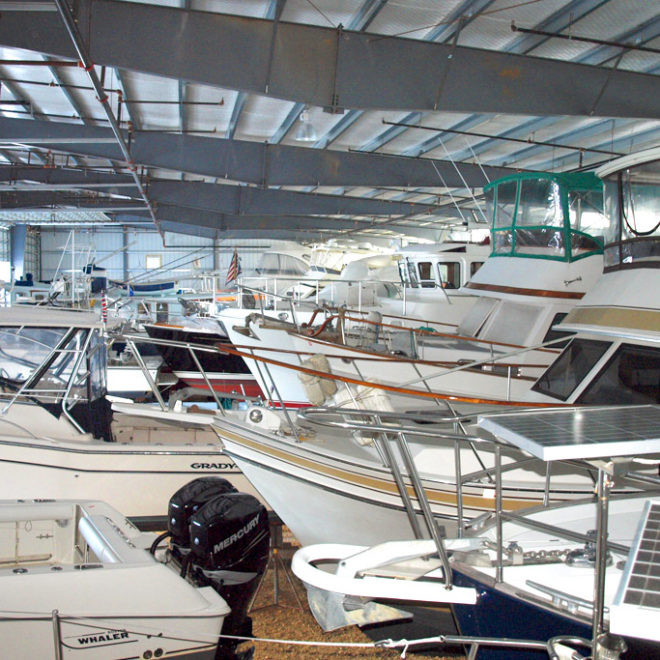
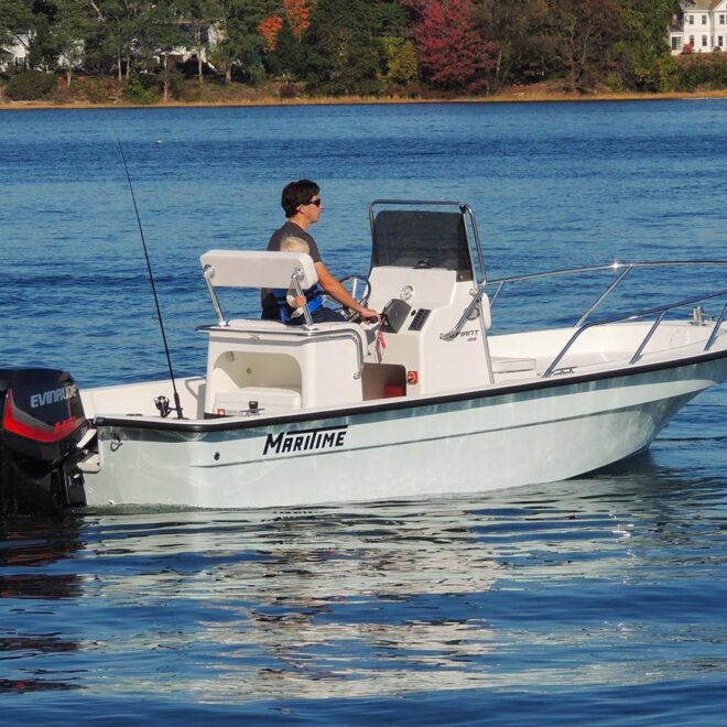
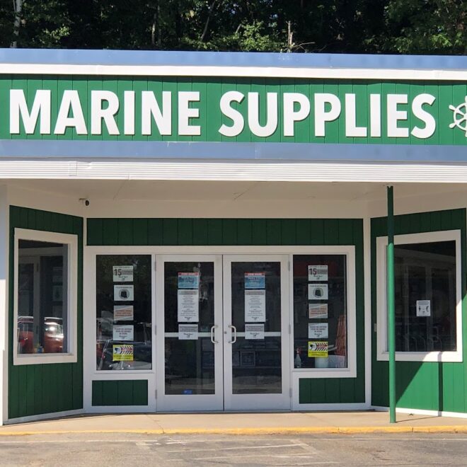
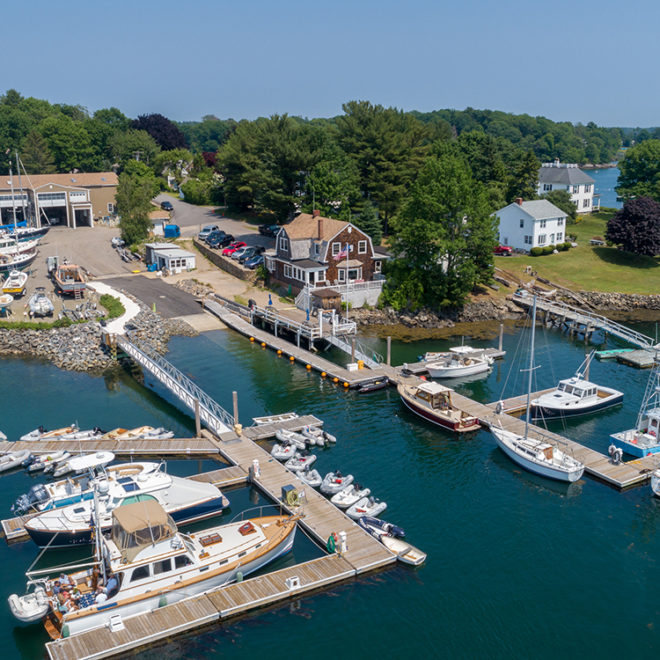
Exploring Maps and Charts of Squamscott River, Great Bay, NH Chart View Map View Explore the RegionExplore the State Featured Local Businesses Great Bay Marine Maritime Boats Hamilton Marine - Kittery, ME Safe Harbor Kittery Point Yarmouth Boat Yard