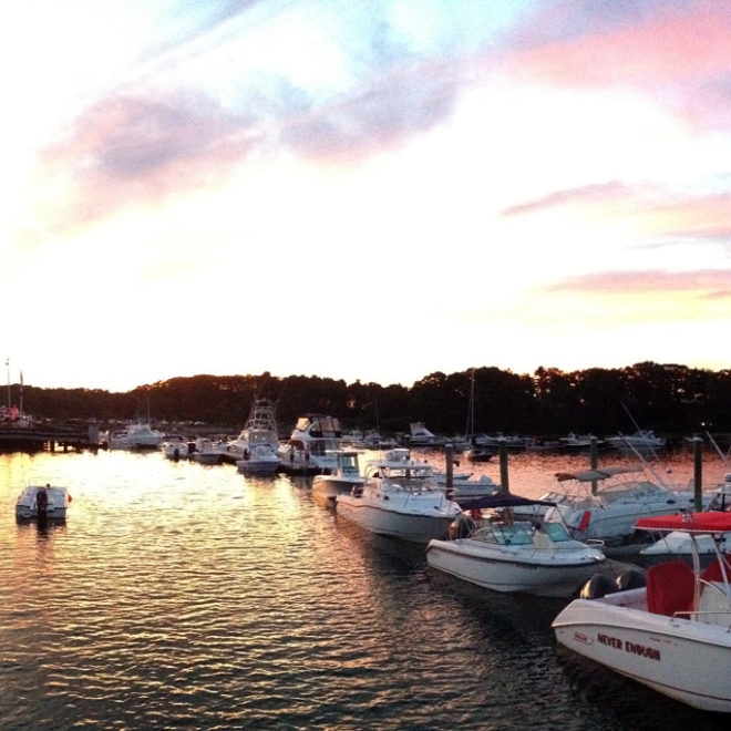
The middle of the river is the town line between Kennebunk and Kennebunkport. From the jetties to the bridge the Kennebunkport side of the river (incoming on your starboard) is packed with shingle cottages turned into B&Bs, waterfront restaurants, marinas, boats of all descriptions and yachts galore. The Kennebunk side of the river (incoming to port) is still largely owned by the Franciscans who maintain miles of footpaths open to the public through their wooded monastery grounds.
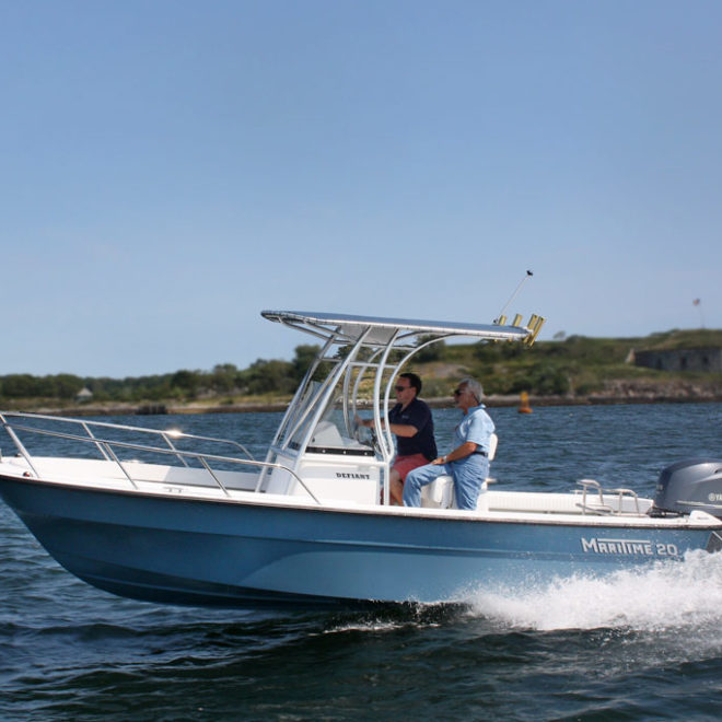
Small and large (mostly excursion) boat traffic is heavy, especially on high summer weekends. The current is moderate but just past the Arundel Yacht Club the river narrows and the current becomes much stronger as you approach the bridge. More than one boat has been trapped broadside against it by an incoming tide. Incidentally, the 1996 edition of chart 13286 still shows a working swing bridge at state Route 9 (the main drag of Kennebunkport). It has, however, been welded shut for years.
Although neither town allows transient anchoring in the river, there are two rental moorings available through the Harbormaster, Ray Billings, who can be reached on VHF Channel 16 or by calling 207-205-0991. These are available at $25 per night, with a 40-foot max LOA. There are no public facilities. There is a small self-service pump-out station located approximately 250 yards northerly on the port side of the river. A dinghy tie up is nearby for a short walk into the center of town. For reservations, payment, and information the Harbormaster can be reached at 207-205-0991.
Most private marinas offer dock space, but call in advance for reservations, if possible, as slips are taken early for weekends. Immediately after Labor Day, river congestion diminishes but marinas, shops and services are open well into October.
Navigation:
Click the “Map View” button above to see a chart of this harbor.
Kennebunk River, about 2.5 miles southwestward of Goat Island Light, is the approach to the popular summer resort and yachting center of Kennebunkport.
The beach for 0.8 mile eastward and 1.7 miles westward of the entrance is lined with hotels and summer homes, the largest and most conspicuous of which is a large white hotel with cupola on the east side of the entrance to the river.
The entrance to the river is between two stone jetties, the outer end of the easterly one being marked by Kennebunkport Breakwater Light 6 (43°20’46″N., 70°28’34″W.), 25 feet above the water, shown from a white skeleton tower with a red triangular daymark.
Dangers
Extra caution is advised when entering the harbor at ebb tide and in southerly weather with heavy seas running, when the entrance can be hazardous. The winter of 2013 saw depths at the entrance drop to about 4 feet at low water, and heavy seas can make for breaking waves across the entrance. The harbormaster is working on getting an emergency dredge completed, but in the meantime extra care is required.
Fishing Rock, about 0.6 mile southward of Kennebunkport Breakwater Light 6, uncovers 4 feet and is marked by a daybeacon. Oaks Reef, an extensive foul ledge area with a number of drying rocks and rocks awash, extends about 0.5 mile southward of Kennebunk Beach, where it is marked by a daybeacon.
A reef covered 7 feet extends 0.8 mile southward of Fishing Rock where it is marked by a lighted bell buoy. Ledges with rocks awash extending eastward of the rock are marked by a buoy.
The approach to the port is marked by two buoys and two spindle daybeacons, which also mark the principal dangers. The best approach is to the eastward of the buoys.
A dredged channel leads from the sea to a point about 60 yards below the highway bridge at Kennebunkport, about 1 mile above the jetties. Buoys and a daybeacon mark the channel.


