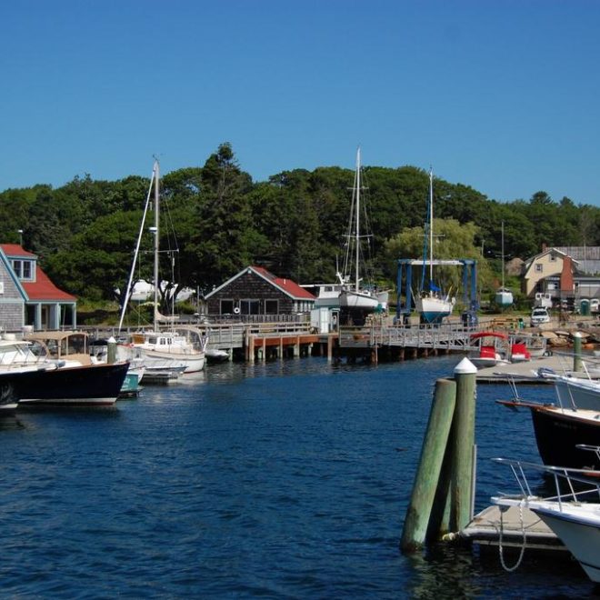
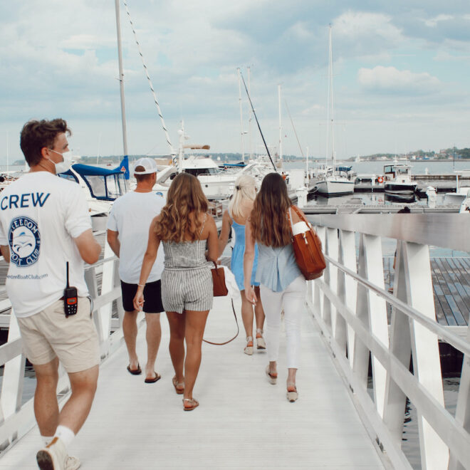
Weather Alerts
Gale Warning issued February 16 at 6:21AM EST until February 17 at 7:00AM EST by NWS Gray ME
* WHAT...For the Gale Warning, east winds 25 to 35 kt with gusts
up to 45 kt and seas 7 to 12 ft expected. For the Storm Watch,
west winds 30 to 40 kt with gusts up to 55 kt and seas 8 to 13
ft possible.
* WHERE...Coastal Waters from Stonington, ME to Port Clyde, ME
out 25 NM, Coastal Waters from Port Clyde, ME to Cape
Elizabeth, ME out 25 NM and Coastal Waters from Cape
Elizabeth, ME to Merrimack River, MA out 25 NM.
* WHEN...For the Gale Warning, until 7 AM EST Monday. For the
Storm Watch, from Monday morning through late Monday night.
* IMPACTS...Storm force winds and hazardous seas could capsize
or damage vessels and reduce visibility.
Storm Watch issued February 16 at 6:21AM EST until February 18 at 6:00AM EST by NWS Gray ME
* WHAT...For the Gale Warning, east winds 25 to 35 kt with gusts
up to 45 kt and seas 7 to 12 ft expected. For the Storm Watch,
west winds 30 to 40 kt with gusts up to 55 kt and seas 8 to 13
ft possible.
* WHERE...Coastal Waters from Stonington, ME to Port Clyde, ME
out 25 NM, Coastal Waters from Port Clyde, ME to Cape
Elizabeth, ME out 25 NM and Coastal Waters from Cape
Elizabeth, ME to Merrimack River, MA out 25 NM.
* WHEN...For the Gale Warning, until 7 AM EST Monday. For the
Storm Watch, from Monday morning through late Monday night.
* IMPACTS...Storm force winds and hazardous seas could capsize
or damage vessels and reduce visibility.
Winter Storm Warning issued February 16 at 6:14AM EST until February 17 at 1:00AM EST by NWS Gray ME
...SNOW TRANSITIONS TO WINTRY MIX WITH SLEET AND FREEZING RAIN
TODAY...
.Low pressure continues to bring a period of snow this morning. Snow
then changes to a mixture of snow, sleet, and freezing rain across
most of the area as one low passes to the west on today, and a
secondary low develops in the Gulf of Maine. The storm then moves
away tonight.
* WHAT...Heavy mixed precipitation. Additional snow accumulations
between 3 and 5 inches for a storm total of 5 to 8 inches, sleet
accumulations around three quarters of an inch, and ice
accumulations up to three tenths of an inch. Winds gusting as high
as 35 mph.
* WHERE...Coastal Waldo, Interior Waldo, Knox, Lincoln, and
Sagadahoc Counties.
* WHEN...Until 1 AM EST Monday.
* IMPACTS...A period of mixed precipitation is expected with air
temperatures remaining below freezing. Expect slippery road
conditions and avoid travel if possible. Even light snowfall
amounts can accumulate on roads and cause dangerous driving
conditions due to snow covered roads. Gusty winds will blow around
unsecured objects and break some tree limbs. The power outage
threat is limited.