US Harbors is the #1 Source for Tide Charts and Coastal Information for over 1,400 harbors in 30 coastal states. Our curated data helps you plan smarter, enjoy your time on the water, and stay ahead of rapidly changing tides, storms, and flooding.
Tide Charts
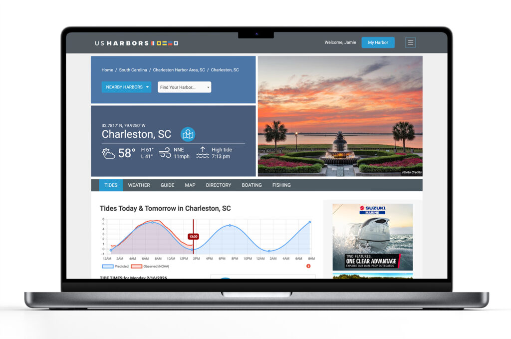
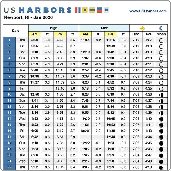
US Harbors illustrates tide forecasts with our simple, intuitive charts. Easily scan the highs and lows online or print a convenient monthly tide chart for the boat or office.
Weather
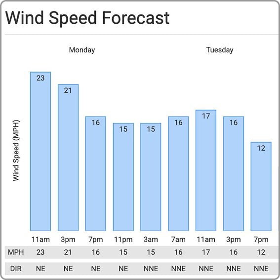
US Harbors delivers weather predictions with a focus on marine forecasts, buoy data, weather alerts, and onshore forecasts for harbors near you that include wind speed and direction, relative humidity, and more.
High Tide Flooding
Each month, we publish a high-tide flooding report for forecasted harbors across the country. Look for harbors near you to know when extreme high tides could cause flooding. Sign up for our newsletter to be alerted to new high tide flooding reports.
Latest Coastal News Filter

A Tale of Two Gulf of Alaska Crossings: Yacht and Tugboat
By Norris Comer, best4boats. The Gulf of Alaska is one of those bodies of water that commands respect from anyone who’s crossed it — or plans to. In a vivid first-person account for Best4Boats, editorial director Norris Comer recounts two very different passages across the gulf: one aboard a 1965… SEE MORE

Celebrate National Fishing and Boating Week!
By fisheries.noaa.gov, fisheries.noaa.gov. Marine recreational fishing is a cherished American pastime and draws millions of anglers to support our coastal communities. Celebrate our nation’s love for fishing and boating during National Fishing and Boating Week. Cast a line and join anglers across the country in celebrating National Fishing and Boating… SEE MORE
Featured Harbors
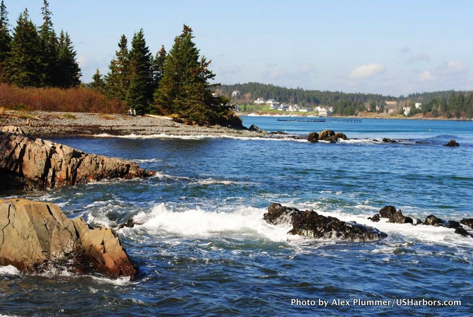
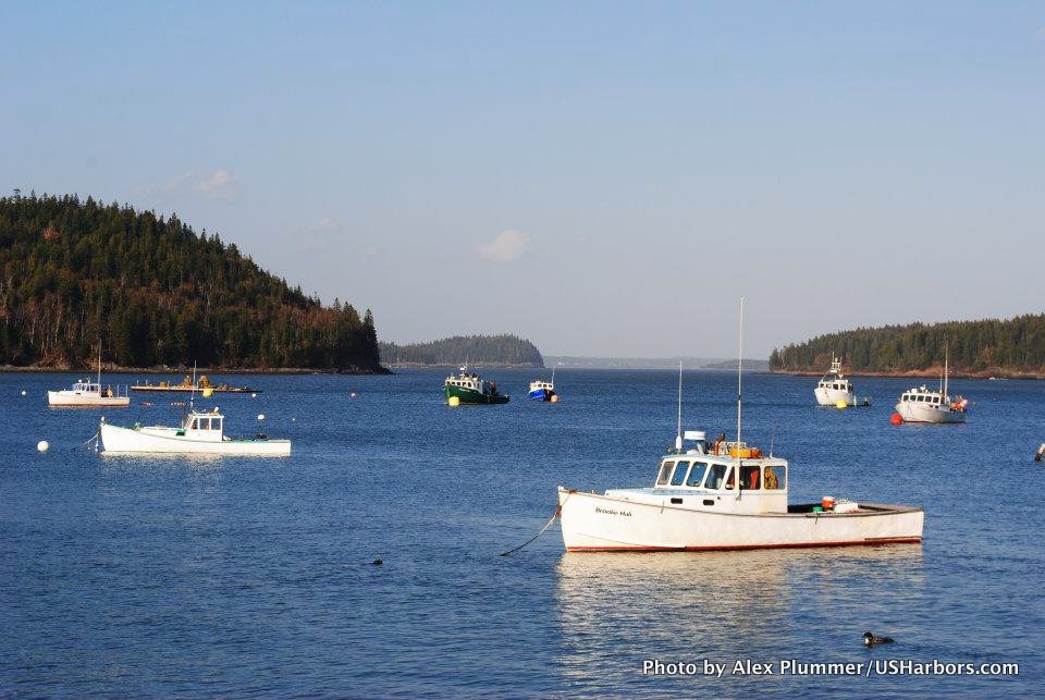
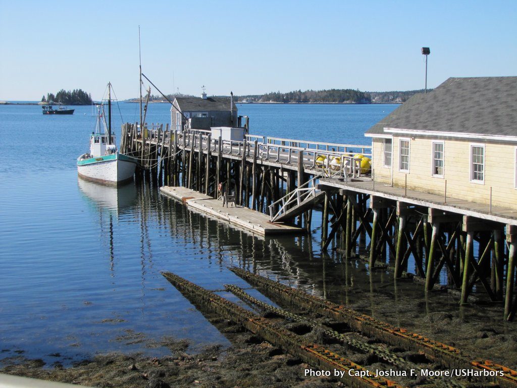
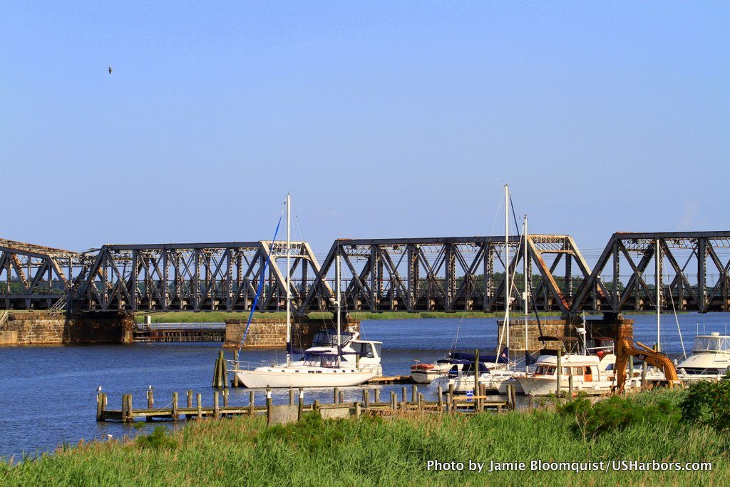
Cast off the lines, explore the coast, and discover new harbors!
-
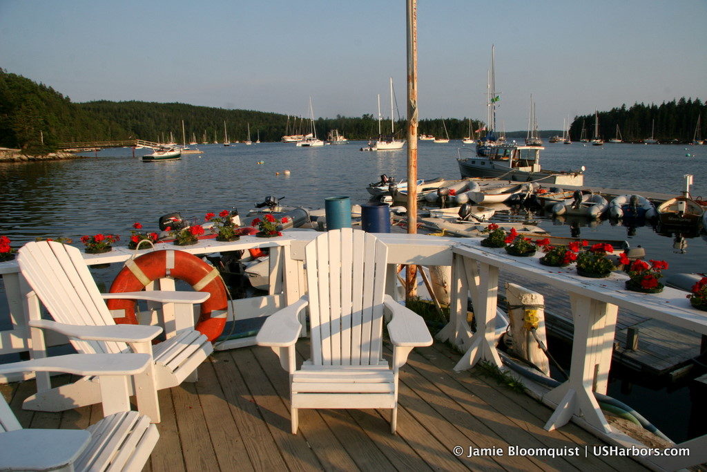 Bucks Harbor, Brooksville, ME
Midcoast & Penobscot Bay, ME
Bucks Harbor, Brooksville, ME
Midcoast & Penobscot Bay, ME
-
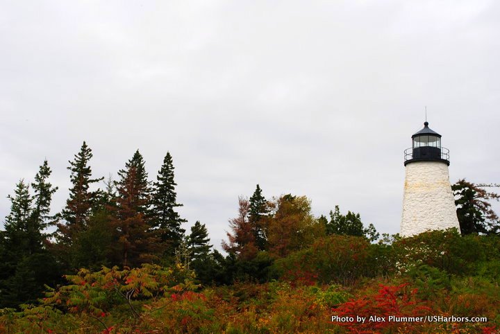 Castine, ME
Midcoast & Penobscot Bay, ME
Castine, ME
Midcoast & Penobscot Bay, ME
-
 Lubec, ME
Maine
Lubec, ME
Maine
-
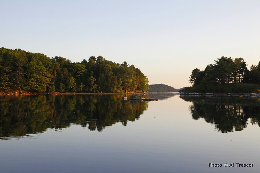 Robinhood, ME
Midcoast & Penobscot Bay, ME
Robinhood, ME
Midcoast & Penobscot Bay, ME
-
 Cutler and Little River, ME
Maine
Cutler and Little River, ME
Maine
-
 Machiasport, ME
Maine
Machiasport, ME
Maine
-
 Boothbay Harbor, ME
Midcoast & Penobscot Bay, ME
Boothbay Harbor, ME
Midcoast & Penobscot Bay, ME
-
 Old Saybrook, Ferry Point, CT
East Shore, CT
Old Saybrook, Ferry Point, CT
East Shore, CT
-
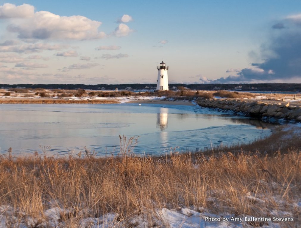 Edgartown, MA
Massachusetts
Edgartown, MA
Massachusetts
-
 Vineyard Haven, Martha’s Vineyard, MA
Massachusetts
Vineyard Haven, Martha’s Vineyard, MA
Massachusetts
-
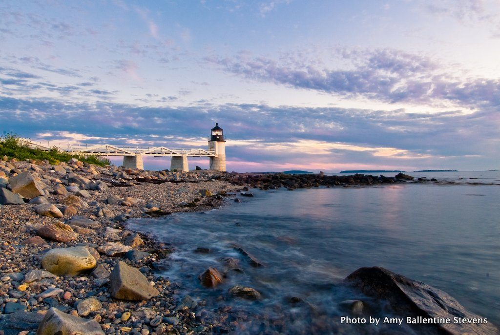 Port Clyde, ME
Midcoast & Penobscot Bay, ME
Port Clyde, ME
Midcoast & Penobscot Bay, ME
-
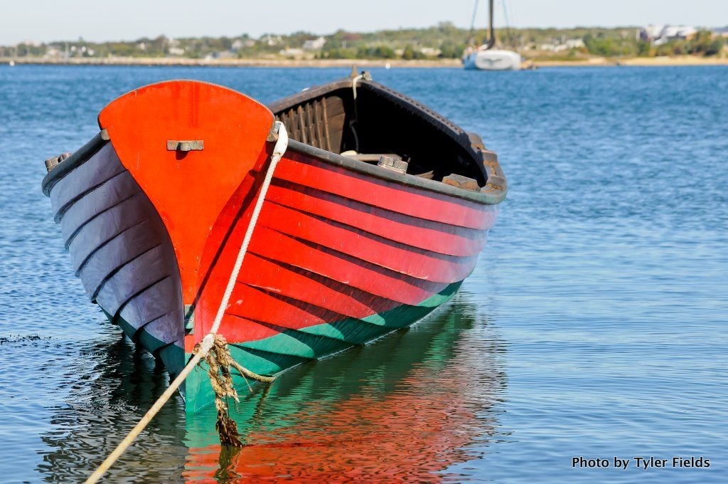
 Oak Bluffs, Martha’s Vineyard, MA
Massachusetts
Oak Bluffs, Martha’s Vineyard, MA
Massachusetts
-
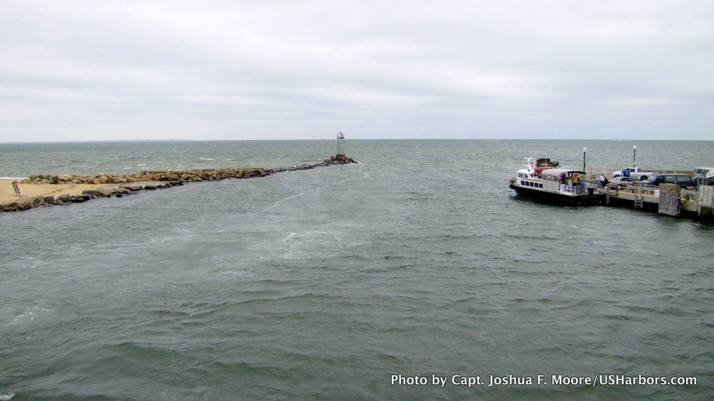
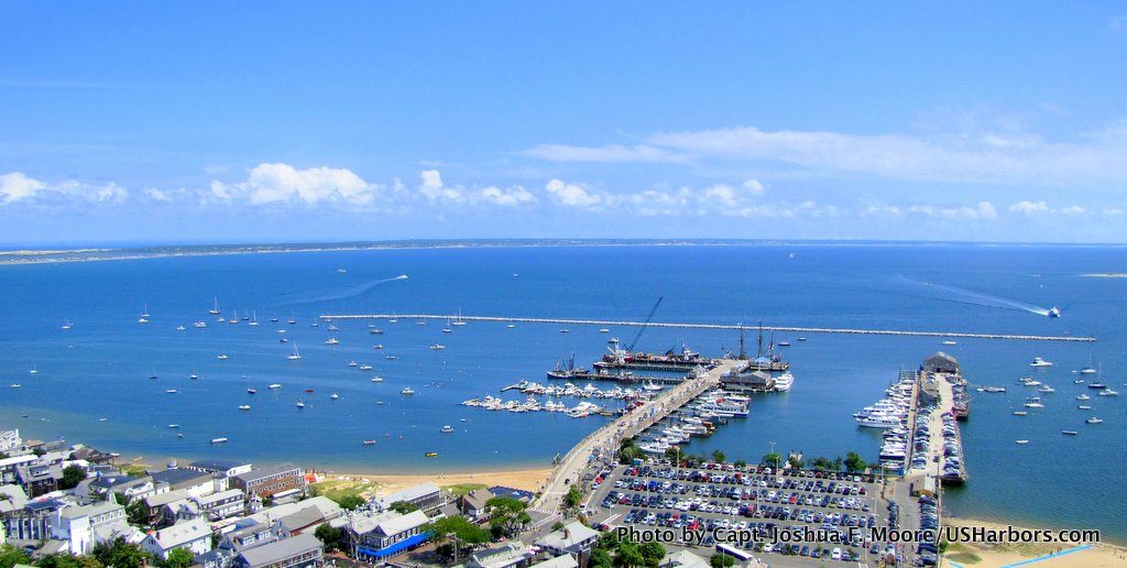 Provincetown, MA
Massachusetts
Provincetown, MA
Massachusetts
-
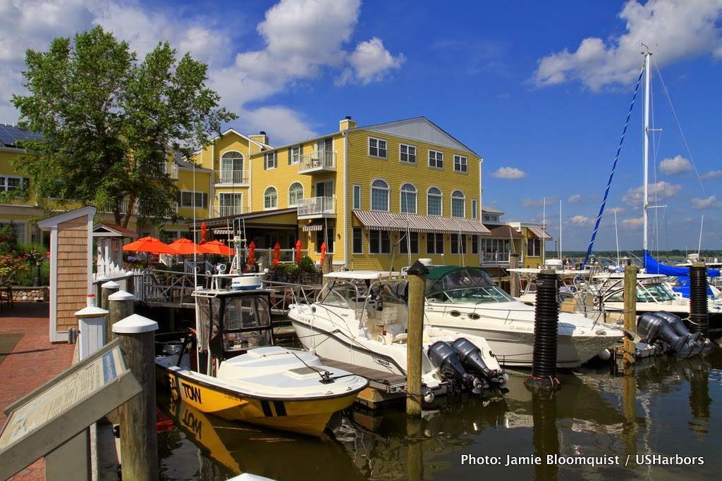 Saybrook Point, CT
East Shore, CT
Saybrook Point, CT
East Shore, CT
-
 Prospect Harbor, ME
Maine
Prospect Harbor, ME
Maine