Boating, Fishing, and Travel Information for Machiasport, ME
Machiasport is on the west bank of the Machias River, 2.5 miles above the entrance.
Local Goods & Services See All Nearby
High Tide Flooding Predictions for May 2024
By US Harbors. Coastal Flooding Outlook for May 2024 Per NOAA, mean sea level is typically higher in the late spring due to changing weather patterns and increasing water temperatures. That said, the outlook for tidal flooding this May is pretty contained, and is certainly less than we saw a… Learn More
Fishing in Machiasport, ME Map View
Coastal News Updates See All
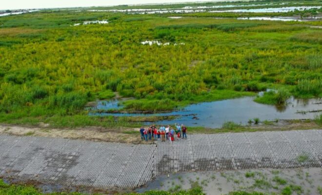
470-Acre Coastal Wetland Restored in Louisiana with $14 Million in NOAA Funding
By fisheries.noaa.gov. Through the Coastal Wetlands Planning, Protection, and Restoration Act Program, NOAA and its partners restored Bayou De Cade to help combat land loss and support fisheries. In honor of American Wetlands Month, we’re celebrating the success of a large-scale marsh restoration project in coastal Louisiana. NOAA’s Office of Habitat… SEE MORE
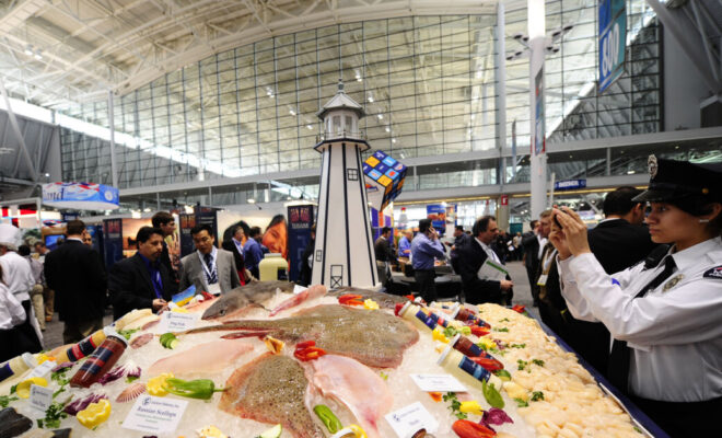
Call to Fishermen and Farmers: We Need Your Voices at Industry Trade Shows and Events
By Bri Dwyer and Emily De Sousa. The seafood industry’s conference, tradeshow, and event season is in full swing, with SENA in Boston, SEG in Barcelona in the rearview mirror, and PME in Seattle set for November. The global representation of seafood companies is staggering when you walk the floor… SEE MORE
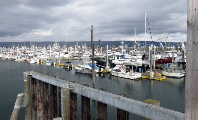
Commissioner's Insights on Alaska's Fishing Industry
By Carli Stewart. ComFish is Alaska’s once-a-year commercial fishing trade show, the largest and longest-running in the state. The 2024 show took place this past week, bringing together every aspect of the commercial fishing industry, from equipment, technology, and gear exhibitors to government agencies and nonprofits. The show includes forums… SEE MORE
