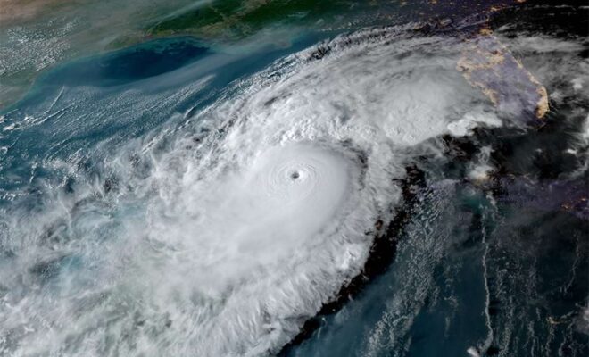
Hurricane satellite image, taken Oct 9, 2024 Photo by NOAA

Essential Data for a Changing Coast: NOAA, National Weather Service, National Ocean Service

2/25/2025 - by US Harbors The National Weather Service (NWS) and the National Ocean Service (NOS), both offices of NOAA (National Oceanic and Atmospheric Administration), provide life-saving weather and tidal forecasting in the U.S.. Weather forecasting from the NWS is used daily to ensure that farmers’ crops are protected, safe travel plans… SEE MORE
Image Credits: Flickr.com.

Arctic Tundra Becoming Source of Carbon Dioxide Emissions

1/31/2025 - By noaa.gov. 2024 Arctic Report Card tracks rapid, complex Arctic change. After storing carbon dioxide in frozen soil for millennia, the Arctic tundra is being transformed by frequent wildfires into an overall source of carbon to the atmosphere, which is already absorbing record levels of heat-trapping fossil fuel pollution. The… SEE MORE
Image Credits: Sarah Fernald, NYSDEC.

New Data for Improved Navigation in the Upper Hudson River

1/30/2025 - By oceanservice.noaa.gov. Real-time data on coastal conditions will support improved maritime navigation in New York. Navigating New York waterways just got a bit easier. NOAA and the New York State Department of Environmental Conservation announced the establishment of the Hudson River Estuary Physical Oceanographic Real-time System (PORTS®). The system delivers real-time… SEE MORE