Built For People Who Live By The Tides

Find tide charts and weather for 1,400 harbors across the U.S.

US Harbors is the #1 Source for Tide Charts and Coastal Information for over 1,400 harbors in 30 coastal states. Our curated data helps you plan smarter, enjoy your time on the water, and stay ahead of rapidly changing tides, storms, and flooding.
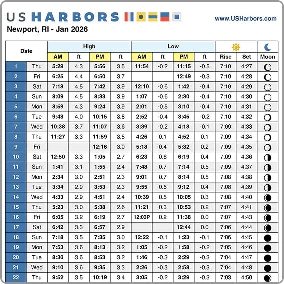
Tide Charts

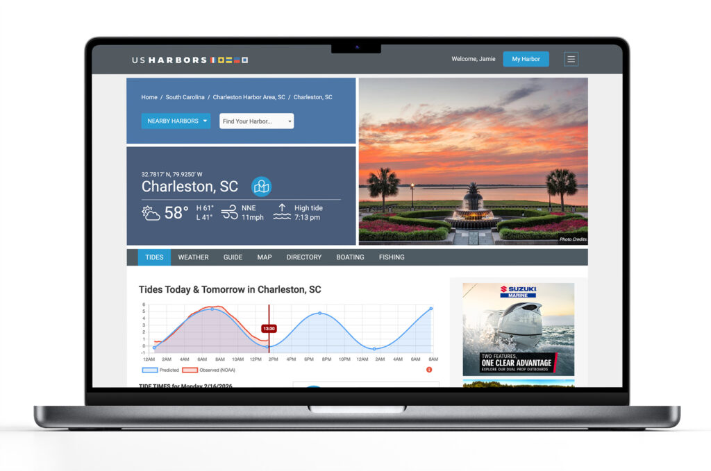
US Harbors illustrates tide forecasts with our simple, intuitive charts. Easily scan the highs and lows online or print a convenient monthly tide chart for the boat or office.
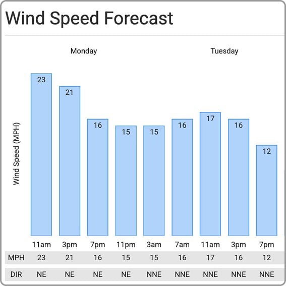
Wind speed forecast bar graph

Weather

US Harbors delivers weather predictions with a focus on marine forecasts, buoy data, weather alerts, and onshore forecasts for harbors near you that include wind speed and direction, relative humidity, and more.
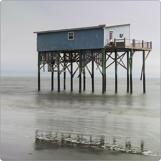
High Tide Flooding

Each month, we publish a high-tide flooding report for forecasted harbors across the country. Look for harbors near you to know when extreme high tides could cause flooding. Sign up for our newsletter to be alerted to new high tide flooding reports.
"I rely on US Harbors and consult it many times a week during boating season and often multiple times per day. I've also recommended it to other boaters as a truly valuable resource."

- Bill P. Long Island, NY

Latest Coastal News Filter

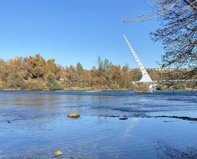
The Sacramento River near the main spawning area of winter-run Chinook salmon blocked by dams from their original mountain spawning habitat. The Sundial Bridge in Redding rises in the background. Credit: Larisa Thacher/UC Davis Center for Watershed Sciences

A Secret to Survival for California’s Most Endangered Salmon

8/28/2026

By fisheries.noaa.gov, fisheries.noaa.gov. Traditional field research combined with new technology has revealed a secret to the survival of juvenile salmon as they form in their eggs, especially in low-water years when many do not survive, new research from NOAA Fisheries and the University of California, Davis shows. Sacramento River winter-run… SEE MORE

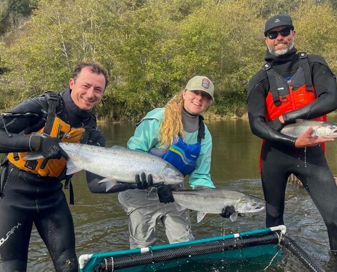
Members of the monitoring show off adult salmon captured at a monitoring station. From left to right, Kevin Vandenack holds a steelhead, Katherine Stonecypher holds a coho salmon, and Bryan Crouch holds a Chinook salmon. Credit: Katherine Stonecypher/Cal Poly Humboldt

Can Habitat Restoration Help Salmon Recover? Prairie Creek Offers Clues

8/18/2026

By fisheries.noaa.gov, fisheries.noaa.gov. This story is part 2 of a 2-part series. Read part 1. When any habitat restoration project finishes, a critical question remains: Will the project help threatened fish and other species recover? Answering that question requires rigorous long-term monitoring. At the Prairie Creek salmon habitat restoration project in Northern California,… SEE MORE

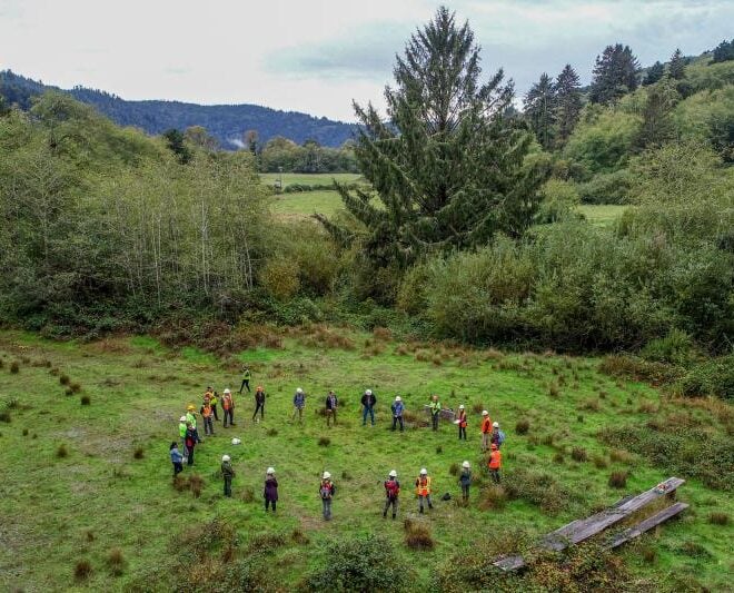
Prairie Creek project partners gather at the restoration site before construction begins. Credit: Michael Weir/CalTrout

Restoring California’s Prairie Creek Supports Salmon Recovery and Local Community

8/17/2026

By fisheries.noaa.gov, fisheries.noaa.gov. This story is part 1 of a 2-part series. Read part 1. For more than a decade, NOAA Fisheries and a broad coalition of partners worked to transform degraded fish habitat on California’s Prairie Creek into a thriving floodplain ecosystem for juvenile salmon and steelhead. Located in California’s redwood… SEE MORE

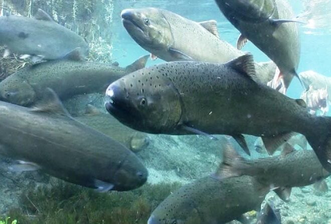
Spring Chinook Salmon. Credit: Michael Humling, U.S. Fish & Wildlife Service

NOAA Fisheries Finds Listing Gulf of Alaska Chinook Salmon Under the Endangered Species Act “Not Warranted”

5/28/2026

By fisheries.noaa.gov, fisheries.noaa.gov. NOAA Fisheries’ 12-month review shows a low risk of extinction. NOAA Fisheries has completed a status review and 12-month finding for Gulf of Alaska Chinook salmon in response to a January 2024 petition. The Wild Fish Conservancy petitioned to delineate and list one or more evolutionarily significant units (ESUs) of Gulf of Alaska Chinook salmon… SEE MORE

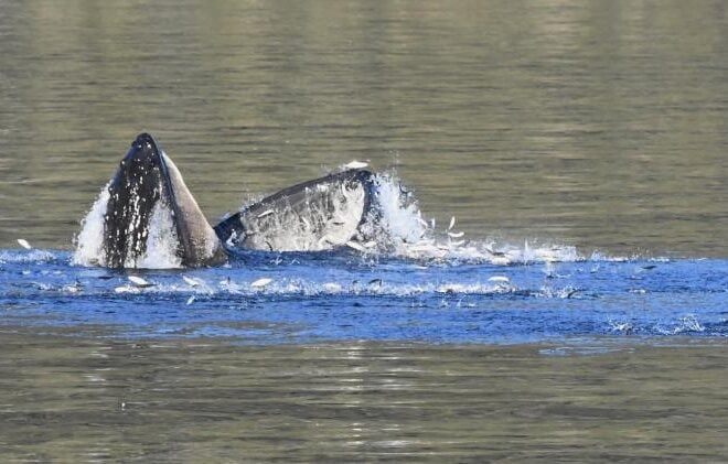
A humpback whale feeds on schooling forage fish in Prince William Sound Alaska. Photo taken under NOAA Fisheries Permit #24378 Credit: NOAA Fisheries/John Moran

Capelin: a “Sea Canary” for Marine Ecosystem Change in Response to Heatwaves

5/27/2026

By fisheries.noaa.gov, fisheries.noaa.gov. Capelin are a major forage fish species in high-latitude marine ecosystems. Recent heatwaves in Alaska led to a dramatic decline in capelin abundance, which can have major impacts on predators, including marine mammals, seabirds, and fish. Twenty years ago, Dr. George Rose with Memorial University of Newfoundland called capelin… SEE MORE

Image Credits: StockSnap.io.

WHOI Scientist Hunts for 10-Million-Year-Old Ice in Antarctica

5/16/2026

By Evan Lubofsky, whoi.edu. Ancient ice buried beneath Antarctica holds trapped air bubbles that serve as tiny time capsules of Earth’s atmosphere — and a WHOI geoscientist is pushing the record further back than ever before. Sarah Shackleton, who helped recover 6-million-year-old ice cores from Antarctica’s Allan Hills in 2023,… SEE MORE

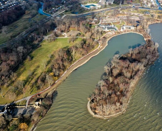
View of Ford Cove where shoreline restoration is underway. Credit: InSite Design Studios, Inc.

Restoring Habitat for Great Lakes Fish at the Historic Edsel and Eleanor Ford Estate

5/14/2026

By fisheries.noaa.gov, fisheries.noaa.gov. With $7 million in funding from NOAA Fisheries, the Ford House estate on Lake St. Clair in Michigan is rebuilding shoreline habitat for fish and other wildlife while expanding access and educational opportunities for visitors. NOAA Fisheries’ Office of Habitat Conservation has established a unique partnership with Ford House, the… SEE MORE

The aftermath of the Morrill Fire as seen from aircraft on March 14, 2026. [Image credit: Watch Duty/InciWeb]

NOAA’s Wildfire Detection System a “Game Changer” for Nebraska’s Record-Breaking Morrill Fire

4/29/2026

By noaa.gov, noaa.gov. When the Morrill Fire ignited on March 12, 2026, it quickly grew into the largest wildfire in Nebraska history. As the fire rapidly burned across the state, NOAA’s Next Generation Fire System (NGFS) provided the critical eye-in-the-sky perspective for the massive response to the record-breaking fire. The up-to-the-minute guidance… SEE MORE

Unlock The Best of US Harbors

Sign up for our monthly newsletter with the monthly flooding report, save your favorite harbor to your profile, and join our coastal community.

Sign Up for Our Newsletter

A laptop computer displaying the tide page on US Harbors

Who Is US Harbors?

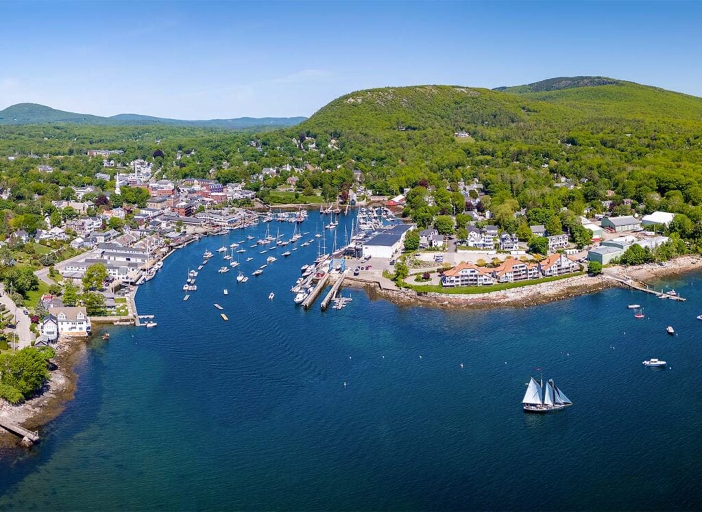
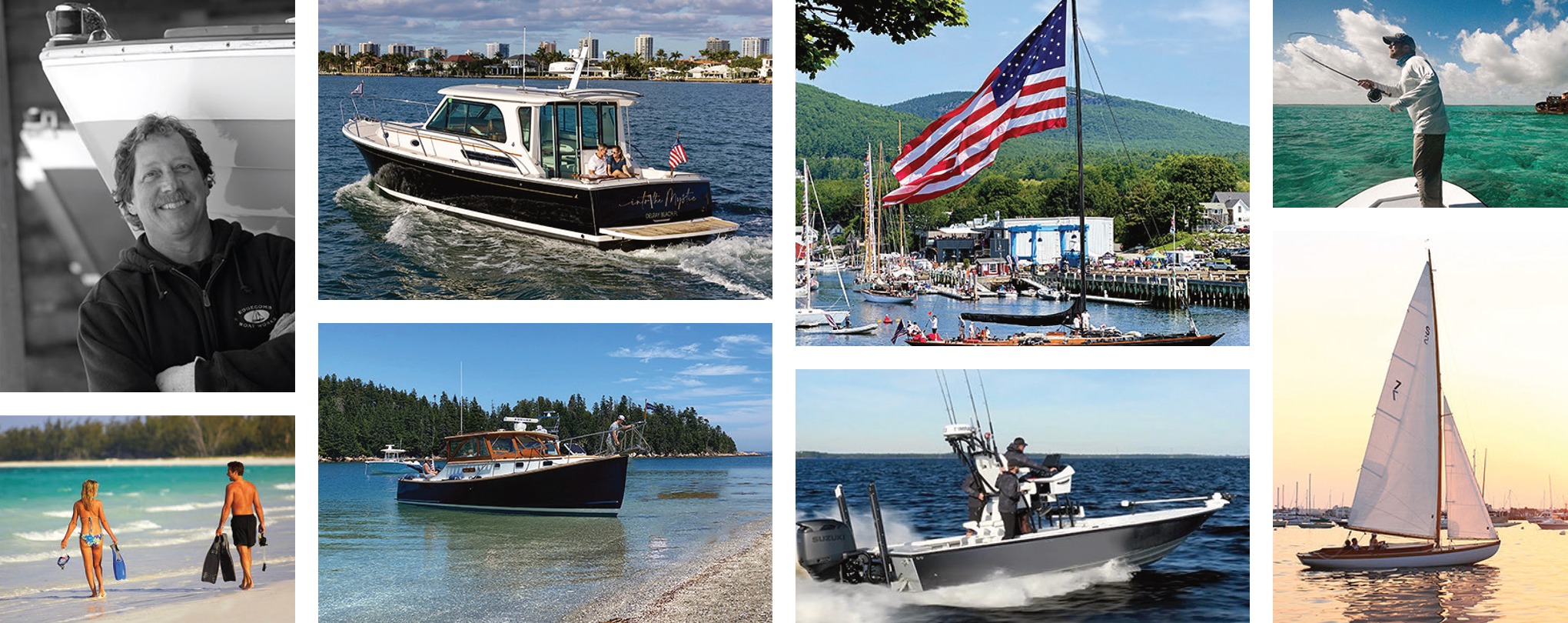
We are a community of boaters, fishermen, surfers, scientists, waterfront homeowners, along with mariners and coastal professionals who work and live by the water. It is the project of a committed team who understand how conditions influence work and play on the coast because we live by the tides just like you. Our home port is Camden, Maine, one of over 1,400 harbors we serve.

Camden, Maine is my home harbor

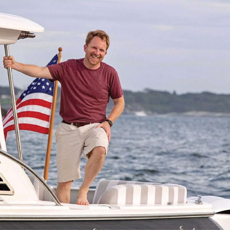
"As someone who has always loved the ocean, I created US Harbors to be a resource that helps everyone in any harbor get the most from their coastal experience, boating, fishing, surfing, and living by the tides."

Founder, Jamie Bloomquist
Jamie Bloomquist, US Harbors owner