Tides Today & Tomorrow in Ogunquit, Perkins Cove, ME
Local Goods & Services See All Nearby
Printing our tide charts?
Help us keep our doors open and lights on by registering as a member of US Harbors.
It's simple and free!
Ogunquit, Perkins Cove, ME Tides - Apr 2024
| Date | High Tide | Low Tide | Sun | Moon | ||||||||
|---|---|---|---|---|---|---|---|---|---|---|---|---|
| AM | ft | PM | ft | AM | ft | PM | ft | Rise | Set | |||
| 20 | Sat | 9:53 | 8.3 | 10:16 | 8.6 | 3:51 | 1.3 | 4:11 | 0.9 | 5:49 | 7:32 |  |
| 21 | Sun | 10:35 | 8.4 | 10:53 | 8.8 | 4:33 | 0.9 | 4:47 | 0.9 | 5:47 | 7:34 |  |
| 22 | Mon | 11:15 | 8.5 | 11:26 | 9.1 | 5:12 | 0.6 | 5:20 | 0.9 | 5:46 | 7:35 |  |
| 23 | Tue | 11:53 | 8.5 | 11:59 | 9.2 | 5:47 | 0.3 | 5:53 | 0.9 | 5:44 | 7:36 |  |
| 24 | Wed | 12:30 | 8.4 | 6:22 | 0.2 | 6:25 | 1.0 | 5:43 | 7:37 |  | ||
| 25 | Thu | 12:31 | 9.3 | 1:05 | 8.3 | 6:56 | 0.1 | 6:59 | 1.1 | 5:41 | 7:38 |  |
| 26 | Fri | 1:03 | 9.3 | 1:41 | 8.2 | 7:32 | 0.0 | 7:35 | 1.2 | 5:40 | 7:39 |  |
| 27 | Sat | 1:39 | 9.3 | 2:20 | 8.1 | 8:11 | 0.1 | 8:15 | 1.3 | 5:38 | 7:41 |  |
| 28 | Sun | 2:18 | 9.2 | 3:03 | 7.9 | 8:54 | 0.2 | 9:00 | 1.5 | 5:37 | 7:42 |  |
| 29 | Mon | 3:04 | 9.2 | 3:54 | 7.8 | 9:43 | 0.3 | 9:51 | 1.5 | 5:35 | 7:43 |  |
| 30 | Tue | 3:57 | 9.1 | 4:51 | 7.8 | 10:37 | 0.4 | 10:49 | 1.6 | 5:34 | 7:44 |  |
| Date | High Tide | Low Tide | Sun | Moon | ||||||||
| AM | ft | PM | ft | AM | ft | PM | ft | Rise | Set | |||
www.USHarbors.com
High Tide Flooding Outlook for April 2024
By US Harbors. Coastal Flooding Predictions for April 2024 April's highest tides will happen at the end of the 2nd week of the month, starting as early as April 7 in some places, and heading back to normal after the 11th or 12th. There are some location-specific outliers we're highlighting… Learn More
Coastal News Updates See All

A New Electric-Powered-Boat Speed Record
By Kevin Falvey. Princeton Electric Speedboating, in coordination with Flux Marine, achieved a record speed… More

Adult Fish Struggle to Bounce Back in Marine Protected Areas
By ecomagazine.com. Age matters when determining how to protect life in the ocean; every population… More

A Dutch Architect’s Vision of Cities That Float on Water
By Kyle Chayka. In a corner of the Rijksmuseum hangs a seventeenth-century cityscape by the… More
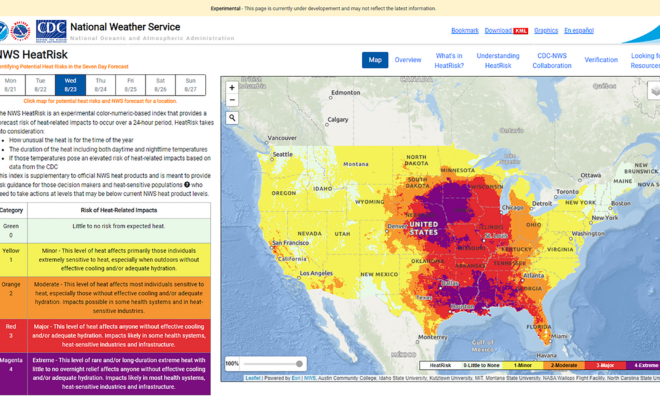
NOAA Announces National Heat Forecast Tool: HeatRisk
By NOAA. NOAA is expanding the availability of a new experimental heat tool called HeatRisk… More
ClimateCoast GuardExtreme WeatherHealth & SafetyWeather & Tides

The Hunt for an Elusive Florida Shipwreck That Killed 41 Enslaved People
By KARUNA EBERL. Searching for the slave ship Guerrero, the nonprofit Diving With a Purpose… More
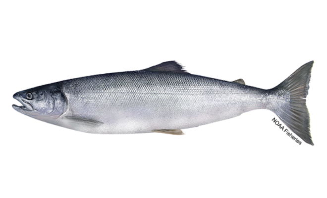
California’s Salmon Season Faces Second Year Closure
By Carli Stewart. All commercial and recreational salmon fishing will be prohibited in California for… More
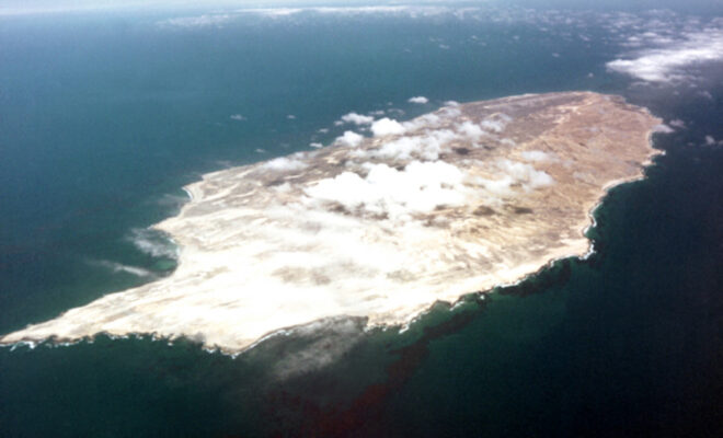
San Nicolas Island: Inspiration for "Island of the Blue Dolphins"
By Lesekker. FROM 1835 TO 1853, A Native American woman, stranded after the evacuation of her… More

Developing Alternative Fisheries Management Scenarios to Respond to Climate Change
By fisheries.noaa.gov. Seafood is a vitally important source of protein. Worldwide, more than 3 billion people… More
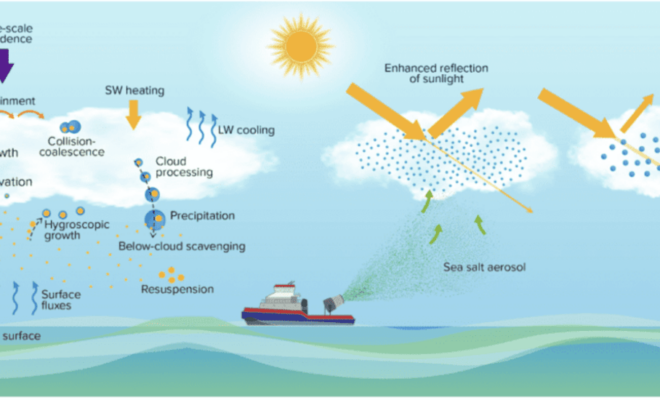
Scientists Detail Research to Assess Viability and Risks of Marine Cloud Brightening
By research.noaa.gov. As the levels of greenhouse gases in the atmosphere continue to increase and… More
