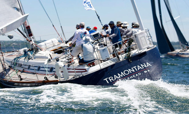
Beverly Harbor is north of Salem Neck at the western end of Salem Sound and is formed by the confluence of Danvers River, Bass River and North River. It forms the approach to the city of Beverly, a manufacturing and resort city on the north side of the harbor just inside the entrance.
Special anchorages are in Beverly Harbor. These anchorages are on Monument Bar, north of Salem Neck, in Collins Cove, in the southwestern part of the harbor, and in Beverly Cove and Mackerel Cove, in the northern part of the harbor. A pipeline area extends from Tuck Point to Salem Neck; care should be taken to avoid anchoring in this area.
The harbor is patrolled, and a speed limit of 5 miles per hour is enforced. The harbormaster has an office at the town pier just east of the State Route 1A bridge.
Jubilee Yacht Club at Tuck Point had a reported alongside depth of 14 feet in 2006. Gasoline, diesel fuel, water, ice and a few moorings are available. A small-craft launching ramp is on Tuck Point.
Several marinas with depths of 10 to 20 feet alongside their floats are on the north bank east of the highway bridge. These facilities can provide gasoline, diesel fuel, water, ice, marine supplies, pumpout facilities, provisions, and guest moorings. Mobile hoists up to 35 tons can handle craft up to 55 feet in length for hull or engine repairs or dry open or covered winter storage; electronic repairs can be made.
There are several small-craft facilities on Porter River. Marine railways to 38 tons, lifts to 50 tons, marine supplies, storage facilities, and other services are available; hull and engine repairs can be made. The Danversport Yacht Club at the entrance and west side of the river has a reported depth of 5 feet alongside its floats. Transient berths, electricity, gasoline, water, a pump-out station and other services are available.
Beverly Channel leads from Salem Sound to Tuck Point and the marinas on the north side just below the highway bridge. In 2000, a controlling depth of 19 feet was available from Salem Sound to the marinas. The channel is buoyed, and most of the dangers are marked. Monument Bar and Lobster Rocks, both on the south side of the channel, are marked by daybeacons.
An unmarked channel, known as Rams Horn Channel, is entered just westward of Monument Bar Daybeacon. The channel leads southward from Beverly Channel to an anchorage area and Collins Cove. Shoaling of unknown extent has been reported just inside the channel entrance. Collins Cove is mostly bare and seldom used. Rams Horn Rock, marked by a daybeacon, is on the southeast side of the channel. An overhead power cable across Collins Cove, about 0.2 mile above the entrance, has a clearance of 50 feet.
State Route 1A highway bridge crossing the mouth of Danvers River from Beverly to Salem has a fixed span with a clearance of 49 feet. The railroad bridge just west of the State Route 1A highway bridge has a swing span with a channel width of 40 feet and a minimum clearance of 3 feet The bridgetender for the railroad bridge monitors VHF-FM channel 16 and works on channel 6. The call sign of the railroad bridge is WRD-626. An overhead power cable on the east side of the railroad bridge has a clearance of 85 feet.
The Danvers River, the continuation of Beverly Harbor northwestward, has a depth of about 7 feet for 2 miles above Beverly to Danversport. The channel, buoyed for about 1.5 miles to the mouth of Waters River, is narrow and leads between flats which uncover at low water. Kernwood Avenue highway bridge crossing the river about 0.5 mile west of the railroad bridge has a swing span with a clearance of 8 feet. The bridgetender monitors VHF-FM channel 16 and works on channel 6; call sign WRD-625. A fixed highway bridge with a design clearance of 48 feet is immediately westward of the bascule bridge. A marina with a pier and float landing is on the south bank of the river just east of the highway bridge; depths of 6 to 7 feet are alongside the floats. A small-craft launching ramp and water are available.
State Route 35 highway bridge at Danversport has a fixed span and is the head of navigation on Waters River, which is shoal above the bridge.
The Crane River empties into the west side of Danvers River, about 0.3 mile above the entrance to Waters River. A privately dredged channel leads from the entrance to a mooring basin and public marina at the head. In 2008, the controlling depth in the channel and boat basin was 5.7 feet.
The Porter River, a northwesterly tributary of the Danvers River, has its entrance just eastward of the entrance to Crane River. A privately dredged channel leads from the entrance for about 0.4 mile to a mooring basin just below the State Route 35 fixed highway bridge, the head of navigation. In 2008, the controlling depth was 4 feet in the river.