Boating, Fishing, and Travel Information for Plymouth, MA
The Pilgrims aboard the Mayflower recognized why Plymouth Harbor is such a special place, and in the nearly five centuries since then, a lot of other boaters have, too. In addition to the historical attractions that the town offers, nine public beaches offer visitors a spectacular opportunity to explore the natural wonders that this harbor includes.
Named after Plymouth, England where the Mayflower set sail for America, Plymouth, Massachusetts was the site of the colony founded in 1620 by the Mayflower Pilgrims, where New England was first established. Throughout the 19th century, the town thrived as a center of rope making, fishing, and shipping, and was home to the Plymouth Cordage Company, formerly the world’s largest rope making company. It continues to be an active port, but today its major industry is tourism.
Plymouth makes up the entire western shore of Cape Cod Bay, and consists of several neighborhoods and geographical sections, including Plymouth Center, North, West and South Plymouth, Manomet, Cedarville, and Saquish Neck. Plymouth is located approximately 40 miles south of Boston, Massachusetts in a region known as the South Shore.
Of Plymouth’s nine public beaches, Plymouth Beach is the largest. Plymouth Beach guards Plymouth Harbor and mostly consists of a three-mile long, ecologically significant barrier beach. Clark’s Island, a small island in Plymouth Bay, is the only island in Plymouth. It is off the coast of Saquish Neck and has a handful of summer residences, but no year-round inhabitants.
See our weather radar, buoy data, marine forecast, and current weather for Plymouth, MA.
Things To Do for Plymouth, MA
Captain John Boats – Since 1946, Captain John Boats has been running fishing trips from Plymouth’s historic waterfront. Today they offer whale watches, deep sea fishing trips, the Plymouth-Provincetown Fast Ferry, harbor cruises, and private charters, as well as a series of special themed cruises throughout the summer.
Mayflower, Plimoth Plantation – A full scale reproduction of the Mayflower is docked at Plymouth’s State Pier, and offers museum exhibits and tours by costumed guides. As of summer 2019 this tall ship is currently undergoing a full restoration ahead of the 400th anniversary of its 1620 arrival in Plymouth. You can keep up with the progress of the restoration via this live Mayflower Cam, purchase advance tickets to be one of the first to board the newly restored vessel when the Mayflower reopens in 2020, and in the meantime the retail shops at 77 Water Street will remain open through Thanksgiving.
Plymouth Beach – Also known as Long Beach, or Plymouth Long Beach, this barrier beach protects Plymouth Harbor and is an important breeding and nesting site for several threatened and endangered shorebirds, including the piping plover and the least, Arctic, common and roseate terns, as well as a critical migration checkpoint for birds. The Town of Plymouth does allow humans to enjoy this beach as well. There are limited camping permits issued by lottery, and a lifeguard is on duty from Memorial Day to Labor Day. Restrooms and a snack bar are on site. The parking fee for the day is $20.
Plymouth Cruises Lobster Excursion – Especially fun for families with kids, this tour of Plymouth Harbor doubles as a hands-on lobster learning experience.
Helpful Resources for Plymouth, MA
Local Goods & Services See All Nearby
Boating in Plymouth, MA Map View
Brant Rock is a village about 5 miles southward of Fourth Cliff. The village derives its name from Brant Rock, a distinctive bare rocky islet about 300 yards offshore that is joined to the shore by a stone jetty. A square concrete tower in the village is very prominent. For about 1 mile south of Brant Rock to the entrance of Green Harbor River, foul ground extends offshore for nearly 1.5 miles to Farnham Rock, which is covered 14 feet. A lighted bell buoy is just eastward of the rock.
Green Harbor River has its entrance west of Blackmans Point at the southern end of Green Harbor Point. Bartlett Rock, which uncovers 2 feet, and Howland Ledge, covered 7 feet and marked by a buoy, are 0.6 and 1.2 miles eastward of the entrance, respectively. An obstruction reported to be covered 6 feet is about 275 yards south-southeast of Bartlett Rock. In 1987, an obstruction was reported 200 yards south of Bartlett Rock in about 42°04’34.2″N., 70°37’49.0″W. Jetties are on each side of the entrance; the east jetty is marked by a light. A channel leads to a turning basin about 0.6 mile above the seaward ends of the jetties. An anchorage basin is on the east side of the channel off the town wharf. Lighted and unlighted buoys mark the entrance and channel inside.
Local fishermen adjust their arrival and departure times so that they are not in the entrance channel 90 minutes on either side of low water. A current flowing out of the entrance channel during the falling tide reportedly sets up a rip just inside the entrance jetties.
The town wharf and a marina are on the east bank about 0.4 mile above the jetties. The facilities have approach and alongside depths of 6 feet. Berths, electricity, gasoline, diesel fuel, water, ice, sewage pumpout, launching ramps, a 12.5-ton lift, storage and hull and engine repairs are available.
Green Harbor is a small village on the west side of the river. Four prominent radio towers are just southwest of the village and 5 miles northward of the entrance to Plymouth Bay. A marina and the Green Harbor Yacht Club are on the west bank near the head of the harbor close southward of the causeway. Berthage, electricity, gasoline, water, marine supplies and a small-craft launching ramp are available at the marina. The service float has 6 feet reported alongside. A 15-ton mobile hoist can haul out vessels for hull, engine, electrical and electronic repairs and for open winter storage.
High Pine Ledge, awash at low water and marked on its easterly side by a buoy, is about 0.8 mile off Duxbury Beach and 2 miles northward of Plymouth Light. The ledge extends from the buoy nearly to the shore; vessels should not attempt to pass westward of the buoy.
Plymouth Bay is about 20 miles southeastward of Minots Ledge Light. From its entrance, between Gurnet Point and Rocky Point, it extends about 2.5 miles westward to Plymouth Beach. Warren Cove, the southern part of Plymouth Bay, is sometimes used as a temporary anchorage.
Plymouth Harbor is about 1 mile wide at its northern end, gradually narrowing to its southern end. Most of the harbor is dry at low water. The channels in Plymouth Harbor and tributaries usually have soft bottoms. The channel through the entrance is well marked and easily followed in clear weather.
Plymouth is a town on the southwestern side of Plymouth Harbor. There is some waterborne commerce at Plymouth, most of it being fishing vessels and excursion boats. At the town wharf, fishing craft unload fish, scallops and lobsters for shipment to New York and southern markets.
Duxbury Bay is between Duxbury Beach on the east, Saquish Neck on the southeast, and the mainland on the west. It is about 3 miles long, with an average width of 2 miles. The bay is full of flats, mostly bare at low water, through which are several narrow and crooked channels. Shoals covered in spots by little water rise abruptly on both sides of these channels, and at low water the shoal edges are usually revealed by discolored water.
Duxbury, a town on the west shore of the bay, is a summer yachting and residential resort.
Kingston Bay, between the mainland and the western point of Duxbury Bay, is about 1.5 miles wide and has numerous flats. Caution and local knowledge are advised. The village of Kingston is nearly 1 mile back from its western shore on Jones River. This bay is of little importance either as a harbor or port.
Prominent features
Gurnet Point, on the north side of the entrance to the bay, is marked by Plymouth Light (42°00’13″N., 70°36’02″W.), 102 feet above the water and shown from a white octagonal pyramidal tower with a white dwelling. A sound signal at the light is operated by keying the microphone five times consecutively on VHF-FM channel 83A.
Rocky Point, on the south side of the entrance, is about 3 miles south of Gurnet Point. The rectangular reactor building of the Pilgrim Nuclear Power Station southeast of Rocky Point is conspicuous.
Duxbury Pier Light (41°59’15″N., 70°38’55″W.), 35 feet above the water, is shown from a brown conical tower with white upper half; a sound signal is at the light and is activated by keying the microphone five times consecutively on VHF-FM channel 83A. The light, locally known as “Bug Light,” marks the north side of the channel and the south end of the shoal between the main channel and Cowyard.
Captains Hill, on the peninsula between Duxbury and Kingston Bays, is about 200 feet high. On its summit is Standish Monument, 291 feet high, which can be seen from all directions when approaching the harbor. Manomet Hill, about 5 miles southward of Gurnet Point, is 390 feet high, heavily wooded, and conspicuous in approaching the entrance.
The monument at Plymouth and a standpipe are conspicuous. A lookout tower on Monks Hill (see chart 13246), about 2.5 miles westward of Plymouth, and the buildings and stack of the former cordage company at Cordage are prominent.
Plymouth Harbor Channel is a dredged channel which leads southward from Plymouth Bay from a point 0.3 mile southwestward of Duxbury Pier Light to the State Pier at Plymouth, about 2 miles above the entrance, thence to a turning basin off the Town Wharf, about 0.2 mile above the State Pier. An anchorage basin, protected by a breakwater on the north and northeast sides, is in the harbor. A Federal project provides for a depth of 15 feet in the dredged channel to and in the turning basin; the anchorage basin in the harbor has a project depth of 8 feet. The channel is marked by a light with a white sector marking the entrance, buoys, another light and private lighted ranges. The range structures are difficult to identify in the daytime.
A channel leads from the southerly end of Cowyard, westward of Duxbury Pier Light to the wharf of the former Plymouth Cordage Company, about 1.5 miles northwest of the Plymouth Town Wharf. The channel is marked by buoys. In 1964, shoaling to 9 feet was reported in the channel for about 0.6 mile westward of The Nummet. The section of the channel approaching the wharf is privately marked.
Duxbury Bay Channels
Where the several bay channels come together in the locality westward of Duxbury Pier Light, a channel extends northward up Duxbury Bay until west of Clarks Island. This channel, Cowyard, about 200 yards wide and with depths of 20 to 35 feet, offers good anchorage for small craft. The channel splits at a point westward of Clarks Island. The eastern branch, Beach Channel, is reported to be marked by private seasonal buoys and continues up the easterly side of Duxbury Bay. A highway bridge at Powder Point, at the junction of Back River with Duxbury Bay, has a 25-foot fixed span with a clearance of 5 feet.
The western branch has a deep natural channel for about 1.5 miles from the area of Clarks Island northward of the fork in the channel. The channel to this point is buoyed and easily followed and at this point connects with a dredged channel that leads northwesterly to an anchorage basin at the village of Duxbury. The dredged channel, marked by buoys, has a project depth of 8 feet.
Anchorages
Vessels waiting to enter may anchor on the north side of the entrance channel southeast of Saquish Head and eastward of the buoy marking the extremity of the shoal that makes southward from that head, or they may proceed to the intersection of the bay channels and anchor where the swinging room is greatest, between 500 and 600 yards westward of Duxbury Pier Light.
The best anchorage is in Cowyard, but small lightdraft vessels often find good anchorage under the lee of Plymouth Beach. Yachts and small craft anchor in the anchorage basin off the wharves at Plymouth. In 1983, the basin had depths of 8 feet except for shoaling in the northwest corner and along the north edge.
Dangers
Outer Tautog Rock, with 2 feet over it, is part of an unmarked shoal extending about 0.5 mile northward of Rocky Point.
Browns Bank is in the central part of Plymouth Bay. Northward of Browns Bank, and between it and Saquish Neck and Saquish Head, is the entrance channel to Plymouth Harbor, Kingston Bay and Duxbury Bay.
The unmarked channels in Kingston Bay and Duxbury Bay are narrow and crooked and lead between flats bare or nearly so at low water; local knowledge is required to carry the best water. The best time for strangers to navigate these channels inside the harbor is at low water when the flats are visible.
Current
In the channel between Gurnet Point and Duxbury Pier the tidal current at strength has a velocity of about 1.4 knots. The set is generally in the direction of the channel; but the ebb sets southward and eastward across Browns Bank, while the flood sets northward and westward above Saquish Head, and sweeps strongly around Duxbury Pier Light northward into Cowyard.
Ice often closes the harbor from about the first of January through February. When there is ice in the harbor, Cowyard is not a safe anchorage. In winter the safest anchorage from ice is in the channel southward or eastward of Saquish Head, and vessels sometimes go to sea on account of drift ice at this anchorage. Westerly winds tend to carry the ice out in fields. Normally the channel to the pier at Cordage is open to traffic all winter. Northwesterly winds sometimes bring ice in, but southerly winds clear it out.
Harbor regulations
The several towns have harbor regulations that are enforced by the various harbormasters, who control the moorings. The Plymouth and Duxbury harbormasters maintain offices on their respective town wharves. The speed limit is 6 miles per hour in Plymouth Harbor.
Wharves
Fishing vessels discharge their catches at the town wharf at Plymouth and Duxbury. The town wharf at Plymouth has a reported 10 feet alongside its service float; a small-craft launching ramp is close by. The State Pier at Plymouth has 12 feet alongside. The replica of the MAYFLOWER is berthed on the south side of the State Pier.
Supplies
Gasoline, diesel fuel and water are available at the Plymouth and Duxbury town wharves and at most of the marinas and boatyards. Ice, provisions, bottled gas and marine supplies are available at Plymouth and Duxbury. Motels, hotels, restaurants, laundromats, shops and markets are in the area.
Repairs
There is a boatyard at Plymouth, one at North Plymouth and several at Duxbury. These facilities can make hull, engine and electronic repairs and have storage facilities and marine supplies. The boatyard at Plymouth, about 0.2 mile southeastward of the State Pier, has a 10- ton crane, 60-ton boat lift, berths with electricity, gasoline and diesel fuel. The largest marine railway at Duxbury can handle craft up to 50 feet in length; lifts up to 40 tons are also available. The boatyard at North Plymouth, close southward of the pier at Cordage, has a 75-foot marine railway and a 40-ton lift.
Small-craft facilities
There are well-equipped marinas at Duxbury and Plymouth at which gasoline and diesel fuel, water, berthing with electricity, pump-out facilities and most yacht services are available. Small-boat launching ramps, both public and private, are available. The Duxbury Yacht Club, at the northwest corner of the turning basin at Duxbury, and the Plymouth Yacht Club, about 0.3 mile southward of the State Pier at Plymouth, offer various services to visiting yachtsmen. Gasoline is available at the Plymouth Yacht Club float.
High Tide Flooding Outlook for April 2024
By US Harbors. Coastal Flooding Predictions for April 2024 April's highest tides will happen at the end of the 2nd week of the month, starting as early as April 7 in some places, and heading back to normal after the 11th or 12th. There are some location-specific outliers we're highlighting… Learn More
Fishing in Plymouth, MA Map View
Coastal News Updates See All
Scientists Detail Research to Assess Viability and Risks of Marine Cloud Brightening
4/17/2024
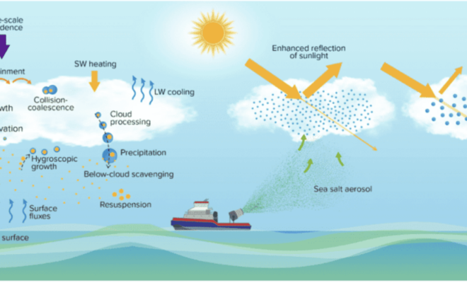
By research.noaa.gov. As the levels of greenhouse gases in the atmosphere continue to increase and climate change impacts become more costly, the scientific community is redoubling efforts to investigate the potential risks and benefits of artificially shading Earth’s surface to slow global warming. Marine cloud brightening (MCB) is one of… SEE MORE
Using Hydrofoils to Improve Boat Performance
4/16/2024
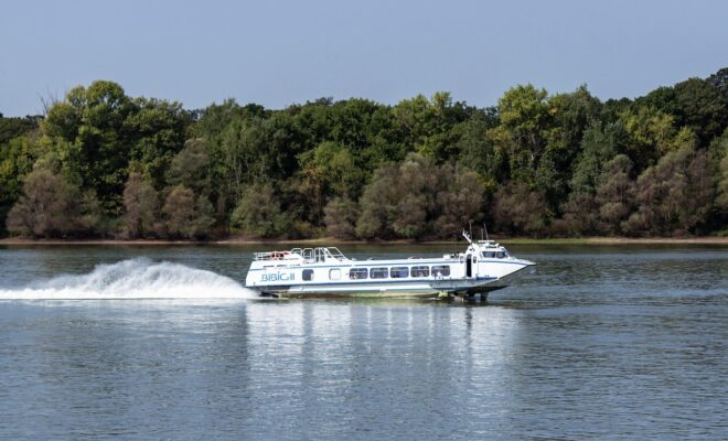
By Capt. Vincent Daniello. In my early days as a captain, few boats cruised faster than 30 mph. Back then, bigger engines and the fuel they burned added too much weight, netting little more speed. Today, even modest performers top 50 mph thanks to lighter engines and boat construction, where more… SEE MORE
Possible Ancient River System Discovered off Wilmington, North Carolina
4/15/2024
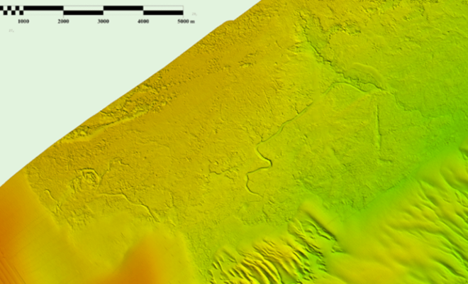
By noaacoastsurvey. During the 2023 field season, NOAA Ship Ferdinand R. Hassler was tasked with surveying an area offshore of Wilmington, North Carolina, in the vicinity of Frying Pan Shoals—a dynamic area of dangerously shallow waters. While scientists and crew conducted mapping surveys of the seafloor, they discovered what is believed to… SEE MORE


