Search for More Stories:
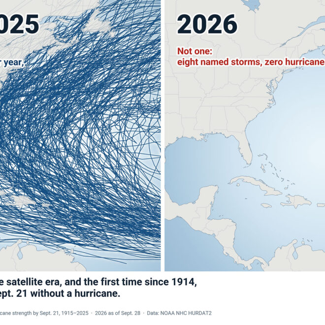
A Hurricane Season Without Hurricanes, So Far
By US Harbors Every Atlantic hurricane season from 1915 through 2025 produced at least one hurricane by September 21, and most produced about four. This year has produced none. Tropical Storm Hanna, the season's eighth named storm, formed this week far east of Bermuda and is expected to stay a… SEE MORE
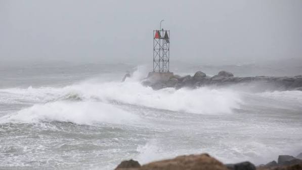
Weekend nor’easter likely to bring damaging winds, coastal flooding
By noaa.gov, noaa.gov. Forecasters at NOAA’s National Weather Service (NWS) are monitoring a powerful nor’easter bringing damaging wind gusts and dangerous coastal flooding to the Northeast this weekend. The New York City metro area and New Jersey may be especially impacted by this storm. A rapidly deepening storm along the… SEE MORE
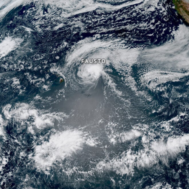
Pacific Hurricanes Fausto and Genevieve actually had origins near Africa
By noaa.gov, noaa.gov. It may be surprising, but two of the hurricanes that swirled in the Pacific last week began their journeys thousands of miles away off the western coast of Africa. Both Hurricanes Fausto and Genevieve developed from tropical waves, which are areas of disturbed weather that rolled off… SEE MORE
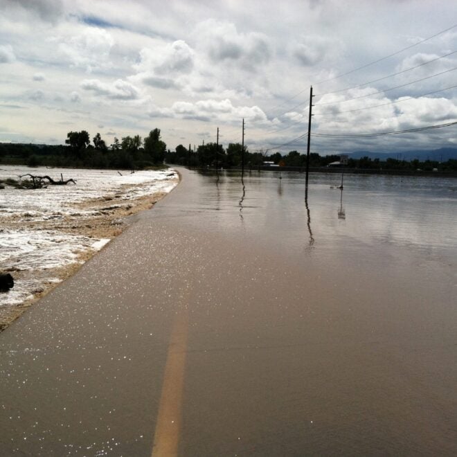
Sudden Danger: The Science And Stakes of Flash Flood Forecasting
By research.noaa.gov, research.noaa.gov. Though not as feared as tornadoes, hail, or lightning, flash floods are one of the deadliest weather hazards in the United States. While the number of fatalities can vary dramatically from year to year, the national average for flood deaths is 88. Lightning accounts for an average of… SEE MORE
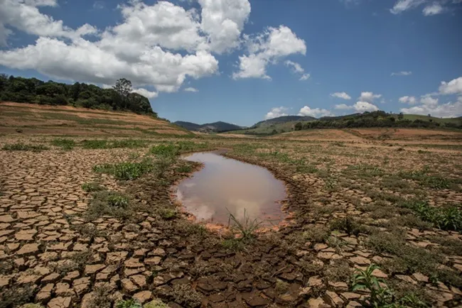
El Nino Forms, Expected To Strengthen, Say NOAA Forecasters
By noaa.gov, noaa.gov. NOAA’s National Weather Service announced today that El Nino has developed in the tropical Pacific, and issued an El Nino Advisory. El Nino, the warm phase of the El Nino Southern Oscillation (ENSO), is predicted to intensify to a moderate or strong level this fall. Forecasters predict… SEE MORE
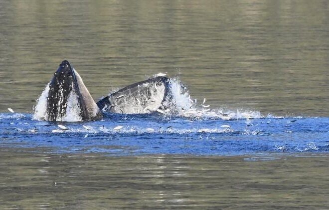
Capelin: a “Sea Canary” for Marine Ecosystem Change in Response to Heatwaves
By fisheries.noaa.gov, fisheries.noaa.gov. Capelin are a major forage fish species in high-latitude marine ecosystems. Recent heatwaves in Alaska led to a dramatic decline in capelin abundance, which can have major impacts on predators, including marine mammals, seabirds, and fish. Twenty years ago, Dr. George Rose with Memorial University of Newfoundland called capelin… SEE MORE
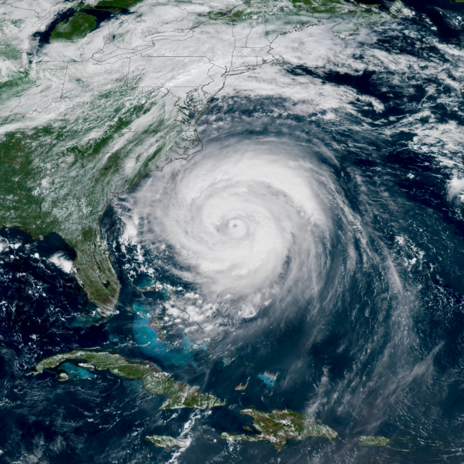
NOAA Predicts Below-Normal 2026 Atlantic Hurricane Season
By noaa.gov, noaa.gov. Early preparation essential to staying safe all season. Forecasters with NOAA’s National Weather Service are predicting a below-normal hurricane season for the Atlantic basin this year. NOAA’s outlook for the 2026 Atlantic hurricane season, which runs June 1 to November 30, predicts a 35% chance of a… SEE MORE
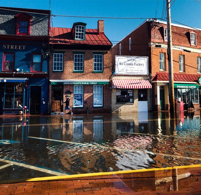
El Niño and High Tide Flooding, a Possible Double Whammy for Some Coastal Communities in 2026
By oceanservice.noaa.gov, oceanservice.noaa.gov. NOAA’s National Weather Service is predicting El Niño is likely to emerge by July 2026 and continue through the winter, and for many locations in the U.S. this could mean more high tide flooding. To understand why more flooding is expected, it helps to understand what El Niño is and… SEE MORE
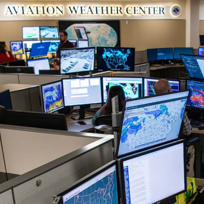
NOAA improves aviation forecasts to bolster U.S. air travel efficiency, safety
By noaa.gov, noaa.gov. Passengers, pilots, and crew: Get ready for greater peace of mind. Starting in late March, a new NOAA weather forecast system will provide improved prediction of two aviation hazards that pose threats to flight safety and create anxiety among passengers: airplane icing and turbulence. Covering the contiguous… SEE MORE

Spring Outlook: Drought Forecasted to Expand in U.S. West, Parts of Plains
By noaa.gov, noaa.gov. Drought conditions are forecast to worsen or develop for many areas in the West and south-central Plains, according to NOAA’s Spring Outlook released today for April through June. Forecasters from NOAA’s National Weather Service also predict above-normal temperatures for the majority of the U.S. “Factors influencing NOAA’s Spring Outlook include… SEE MORE
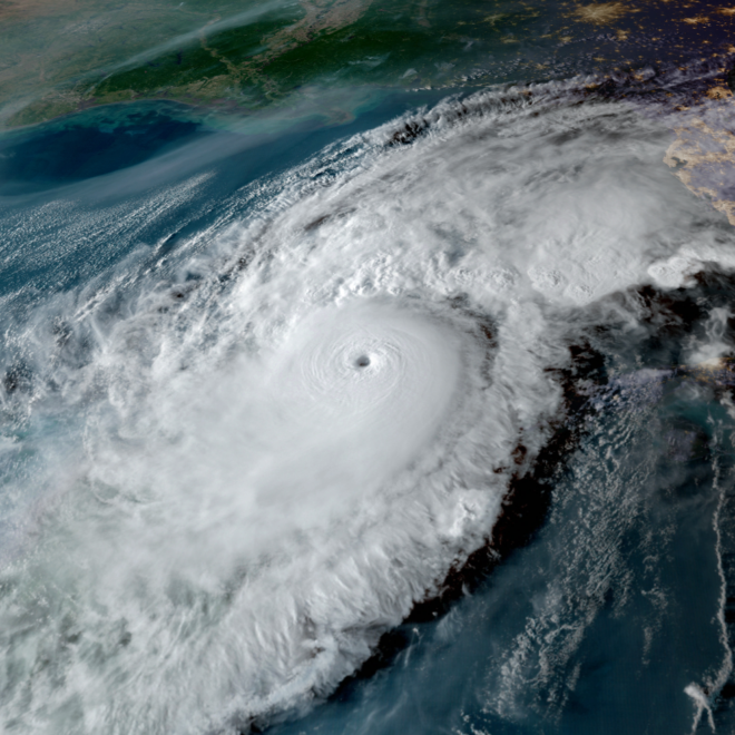
National Hurricane Center to Issue New Forecast Cone Graphics for 2026 Hurricane Season
By noaa.gov, noaa.gov. Other product enhancements include Hawaii Storm Surge Watches & Warnings As part of a suite of product improvements for the 2026 hurricane season [PDF], NOAA’s National Hurricane Center (NHC) is implementing two new tropical products and services: a new operational hurricane track cone map, and new storm surge alerts… SEE MORE

NOAA Strengthens Commitment to World-Class Tsunami Monitoring and Detection in Pacific
By noaa.gov, noaa.gov. National Mesonet Program ensures seismic detection continues to operate in real time A new agreement between NOAA, the Alaska Mesonet and the seismic network operated by the University of Alaska-Fairbanks Alaska Earthquake Center (UAF AEC) is funding nine AEC-owned seismic stations that support near-real-time tsunami threat information.… SEE MORE