Weather News & Resources Filter
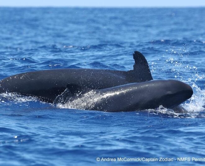
Seeing Double: Good News for Rare False Killer Whales in Hawaiʻi
By fisheries.noaa.gov, fisheries.noaa.gov. Research partners spotted two endangered main Hawaiian Islands insular false killer whale calves this year, and they’re starting to grow up! This is a rare and exciting discovery for this small, resident population of only about 140 individuals Range of the endangered main Hawaiian Islands insular false… SEE MORE
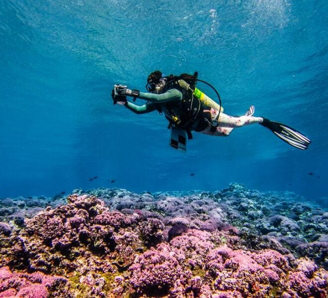
2026 Pacific Coral Surveys Complete
By fisheries.noaa.gov, fisheries.noaa.gov. NOAA scientists returned from American Samoa and the Pacific Islands Heritage Marine National Monument after conducting coral reef monitoring surveys. The team sailed south from Honolulu to Jarvis Island, Palmyra Atoll, and Kingman Reef, where they completed their suite of surveys. After a 2,000 kilometer transit down… SEE MORE
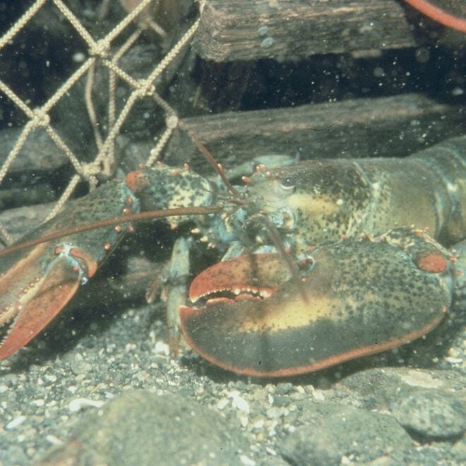
Is Offshore Construction Noise Stressing New England's Lobsters? WHOI Scientists Want to Know
By Kiran Johnson, whoi.edu. As offshore wind farms multiply along the New England coast, a question with real consequences for one of the region’s most valuable fisheries is getting its first rigorous scientific investigation: does the noise from wind farm construction affect the American lobster? WHOI scientists are working alongside… SEE MORE
FEATURED CONTENT
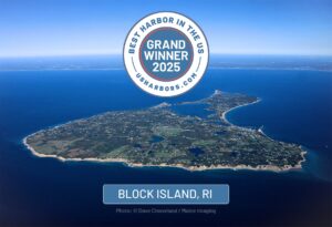
2025 "Best Harbor" Contest Winners Announced
The People Have Spoken: Block Island Wins Again! Grand Winner, Best Harbor in the U.S. for 2025: Block Island, RI Last year’s Grand Winner for Best Harbor in the U.S., Block Island, RI, took home the prize again for 2025. This year saw a record number of votes cast for over… Learn More
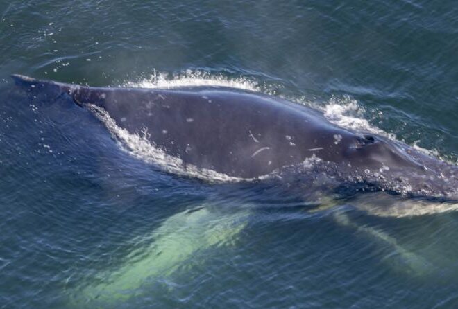
Fishing Vessel Joins Trained Team to Free Injured Humpback Whale 20 Miles off Oregon Coast
By fisheries.noaa.gov, fisheries.noaa.gov. An Oregon team joined by experts from Washington and a local fisherman freed a severely entangled humpback whale about 20 miles off the Oregon Coast on July 26. While the team removed all of the gear from the whale, the entanglement left the young whale’s jaw permanently… SEE MORE
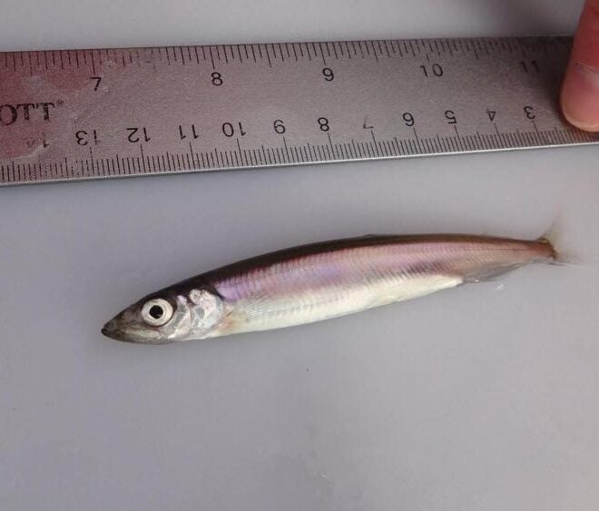
NOAA Scientists Discover Repeat Spawning in Pacific Capelin
By fisheries.noaa.gov, fisheries.noaa.gov. For certain fish species, like Pacific salmon, reproduction is a once-in-a-lifetime event, known as semelparity. Many other fish are iteroparous—meaning they can spawn repeatedly throughout their lives. New research by NOAA’s Alaska Fisheries Science Center reveals the first evidence that Pacific capelin can be repeat spawners. Over the past decade,… SEE MORE
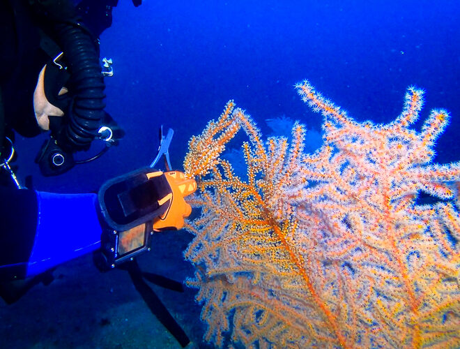
Deep Diving and Innovation to Restore the Gulf's Mesophotic Corals
By fisheries.noaa.gov, fisheries.noaa.gov. Deep in the Gulf of America lies a vital but little-known habitat. In the “mesophotic” (middle light) zone are coral ecosystems that are essential to the Gulf’s food web. In 2010, the Deepwater Horizon oil spill injured extensive areas of this delicate environment. Today, scientists across federal agencies and… SEE MORE
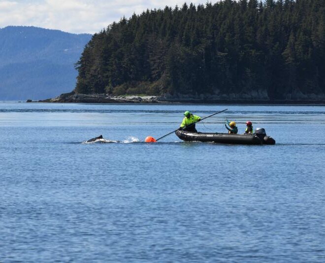
Humpback Whale Successfully Freed from Entanglement in Endicott Arm
By fisheries.noaa.gov, fisheries.noaa.gov. The Tracy Arm-Fords Terror wilderness, located 50 miles south of Juneau, Alaska, features a pair of steep glacial fjords: Tracy Arm and Endicott Arm. While remote, the waters in this area see steady vessel traffic, ranging from massive cruise ships and small charter boats to commercial fishing… SEE MORE
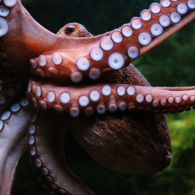
Remarkably Bright Creatures: A Story of Octopus Intelligence Set in the Pacific Northwest
By Janet Green Hammerman, best4boats.com. The Netflix adaptation of Shelby Van Pelt’s bestselling novel Remarkably Bright Creatures is drawing renewed attention to one of the ocean’s most fascinating inhabitants — the giant Pacific octopus. Set in a fictional Pacific Northwest coastal town, the story follows an aging widow, a drifting… SEE MORE
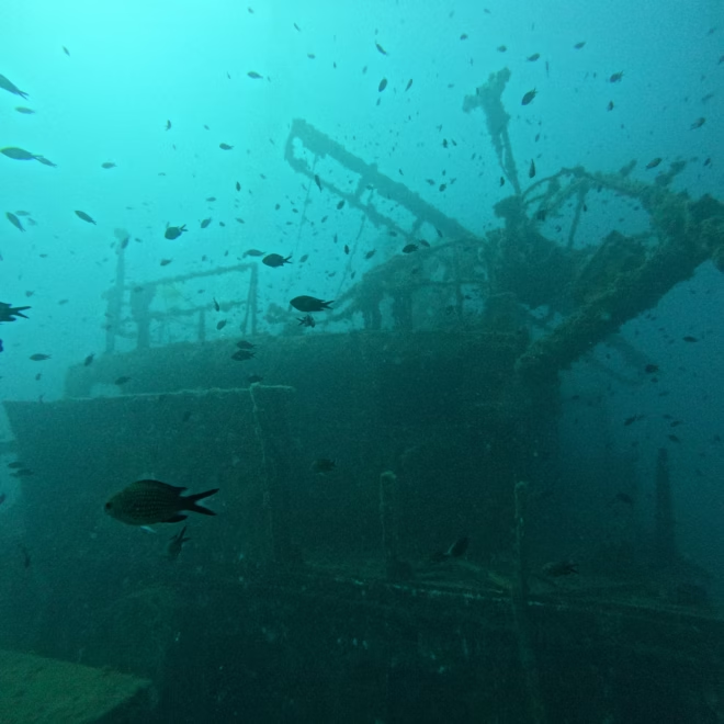
Eyes On The Deep: How Ocean Imaging Is Transforming Underwater Discovery
By Elise Hugus, whoi.edu. From ancient shipwrecks in the Black Sea to a lost WWI submarine off San Diego, the ability to see — and share — what lies on the ocean floor has never been more powerful. A new feature from WHOI’s Oceanus magazine profiles Dwight Coleman, the institution’s… SEE MORE
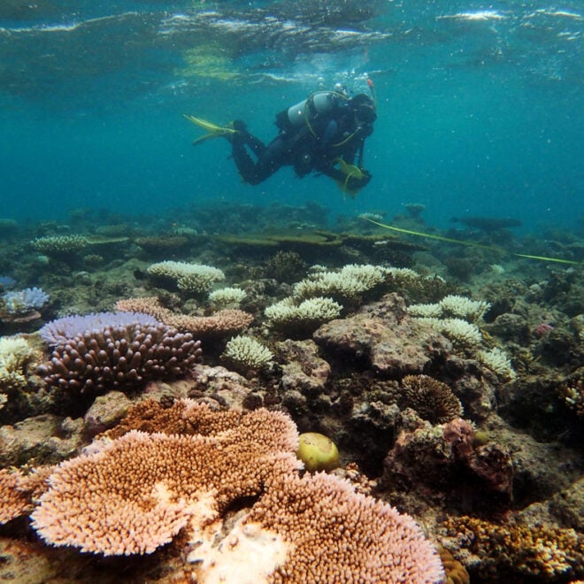
WHOI Develops Tool to Predict Coral Bleaching Months Before It Strikes
By whoi.edu, whoi.edu. A new forecasting tool from Woods Hole Oceanographic Institution could give reef managers and coastal communities a five-to-six-month head start on one of the ocean’s most destructive events: coral bleaching. Called the Bleaching Event Early Predictor (BEEP), the system works by tracking three large-scale climate patterns in… SEE MORE
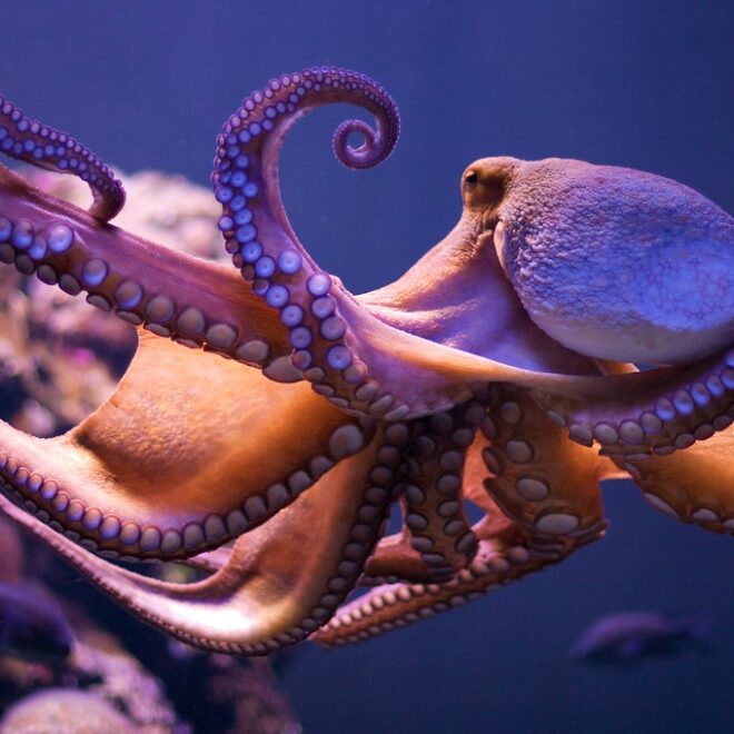
Remarkably Bright Creatures: A Story of Octopus Intelligence Set in the Pacific Northwest
By Janet Green Hammerman, best4boats.com. The Netflix adaptation of Shelby Van Pelt’s bestselling novel Remarkably Bright Creatures is drawing renewed attention to one of the ocean’s most fascinating inhabitants — the giant Pacific octopus. Set in a fictional Pacific Northwest coastal town, the story follows an aging widow, a drifting… SEE MORE
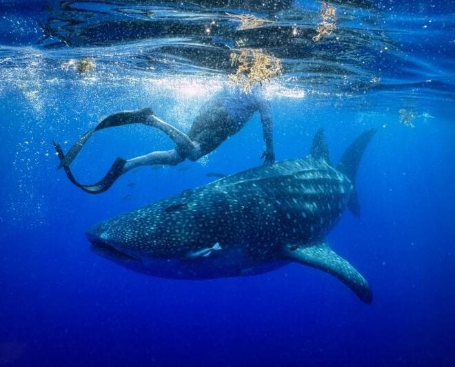
A Year in the Life of Larry the Whale Shark
By fisheries.noaa.gov, fisheries.noaa.gov. One year ago today, researchers deployed a satellite tag on a whale shark off the coast of Tampa Bay, Florida. They never could have anticipated the epic journey that would ensue. On May 28, 2025, researchers set out from Boca Ciega Bay, Florida, heading into the Gulf… SEE MORE
![Coral bleaching at Cheeca Rocks in the Florida Keys in 2023. [Credit: NOAA]](https://www.usharbors.com/wp-content/uploads/2026/06/NOAA_Cheeca-Rocks_07312023_7-e.jpg-660x660.webp)
World’s Fourth Mass Coral Bleaching Event Likely Ended in 2025
By nesdis.noaa.gov, nesdis.noaa.gov. After analyzing satellite data and bleaching observations, NOAA’s experts say the record-breaking fourth global coral bleaching event likely concluded in mid-2025. The fourth global coral bleaching event was confirmed by NOAA on April 15, 2024. From early-2023 to mid-2025, bleaching-level heat stress impacted 84% of the world’s coral… SEE MORE
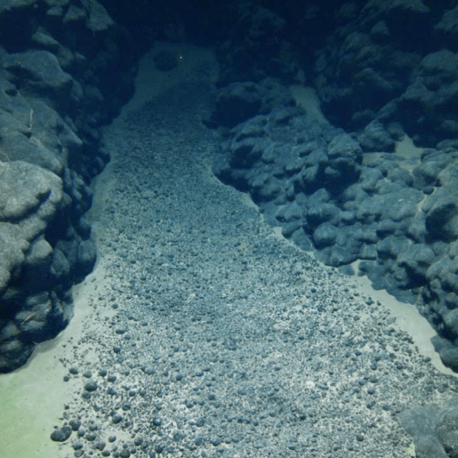
NOAA Scientists and Partners to Map Deep Waters, Seabed in the Cook Islands
By noaa.gov, noaa.gov. This summer, NOAA Ocean Exploration will conduct an expedition on NOAA Ship Okeanos Explorer to map, explore and characterize deep waters off the coast of the Cook Islands. The effort is in partnership with the Cook Islands Seabed Minerals Authority. Using remotely operated vehicles (ROVs), mapping technologies and onsite… SEE MORE
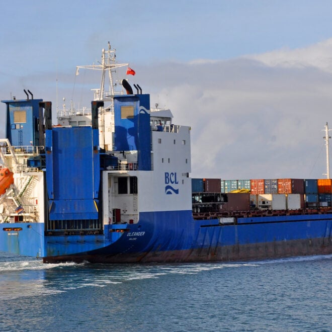
The Container Ship That's Also an Ocean Science Lab
By Amy E. Nevala, whoi.edu. Some of the most valuable ocean data in the Atlantic isn’t being collected by a research vessel — it’s riding aboard a container ship. The M/V Oleander, which makes twice-weekly cargo runs between Port Elizabeth, New Jersey, and Hamilton, Bermuda, has carried scientific instruments since… SEE MORE