Weather News & Resources Filter
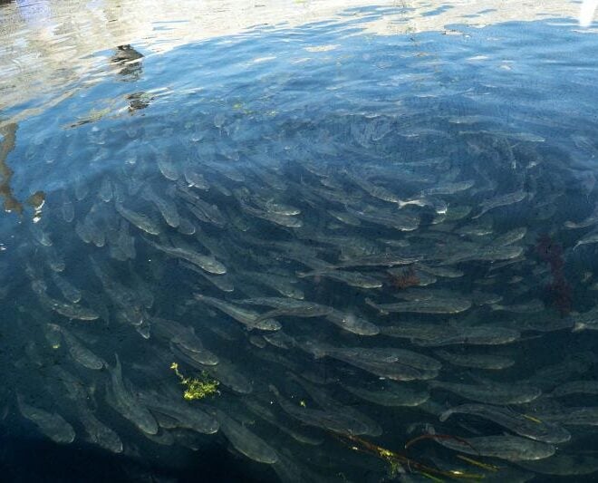
Managing Genetic Risk in Offshore Aquaculture
By fisheries.noaa.gov, fisheries.noaa.gov. Aquaculture can sustainably produce seafood to complement wild-caught fisheries. However, like all food systems, aquaculture requires sound science to ensure farmed species don’t harm wild species. Scientists at NOAA’s Southwest Fisheries Science Center are working to understand the genetic risks in offshore aquaculture. NOAA has identified 21,000… SEE MORE
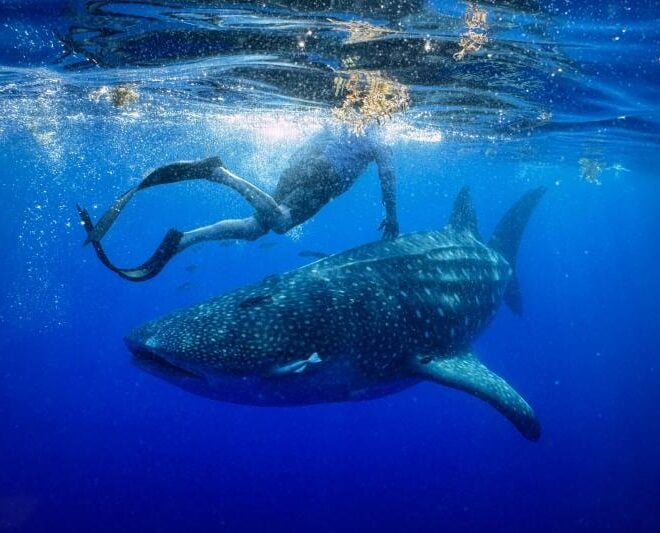
A Year in the Life of Larry the Whale Shark
By fisheries.noaa.gov, fisheries.noaa.gov. One year ago today, researchers deployed a satellite tag on a whale shark off the coast of Tampa Bay, Florida. They never could have anticipated the epic journey that would ensue. On May 28, 2025, researchers set out from Boca Ciega Bay, Florida, heading into the Gulf… SEE MORE
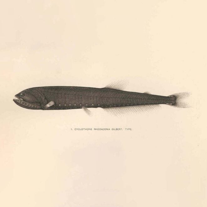
The Ocean's Most Abundant Fish Evolved in Extreme Heat — and That May Be Good News
By Daniel Hentz, whoi.edu. The most numerous fish in the ocean isn’t one most boaters or anglers will ever see. Bristlemouths — tiny, deep-dwelling fish of the genus Cyclothone — number in the quadrillions and play a major role in the ocean’s biological carbon pump, helping move CO₂ from the… SEE MORE
FEATURED CONTENT
2025 "Best Harbor" Contest Winners Announced
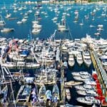
The People Have Spoken: Block Island Wins Again! Grand Winner, Best Harbor in the U.S. for 2025: Block Island, RI Last year’s Grand Winner for Best Harbor in the U.S., Block Island, RI, took home the prize again for 2025. This year saw a record number of votes cast for over… Learn More
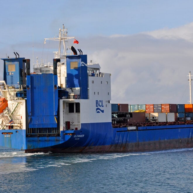
The Container Ship That's Also an Ocean Science Lab
By Amy E. Nevala, whoi.edu. Some of the most valuable ocean data in the Atlantic isn’t being collected by a research vessel — it’s riding aboard a container ship. The M/V Oleander, which makes twice-weekly cargo runs between Port Elizabeth, New Jersey, and Hamilton, Bermuda, has carried scientific instruments since… SEE MORE
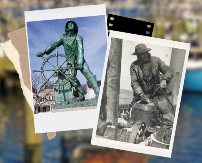
New England Fishery Management: Backed by Science, Shaped by People
By fisheries.noaa.gov, fisheries.noaa.gov. One of New England’s most iconic sights: Rain or shine, fishing boats slipping out of the harbor at dawn, just as they have for generations. The centuries-old scene feels timeless. But the industry behind it isn’t sustained by tradition alone; it endures because of science-based management. At… SEE MORE
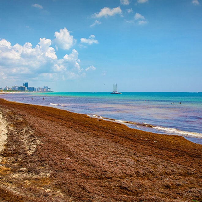
NOAA Sargassum Tool Now Provides Daily Update of Risk of Seaweed Washing up on Beaches
By research.noaa.gov, research.noaa.gov. Upgrade will help communities anticipate impacts, risks, and supports planning and response. NOAA’s Sargassum Inundation Risk tool (SIR) has been upgraded to offer daily reports on the location and risk that brown floating algae could wash ashore along coastal areas in the Caribbean, Florida, Gulf of America, and northern… SEE MORE
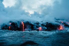
Three Ocean Robots Exploring Active Underwater Volcanoes
By Amelia Macapia, whoi.edu. The ocean floor is home to thousands of volcanoes — many of them active — and understanding what’s happening down there requires machines that can go where humans can’t. A new feature from WHOI’s Oceanus magazine profiles three robotic vehicles that are transforming what scientists know… SEE MORE
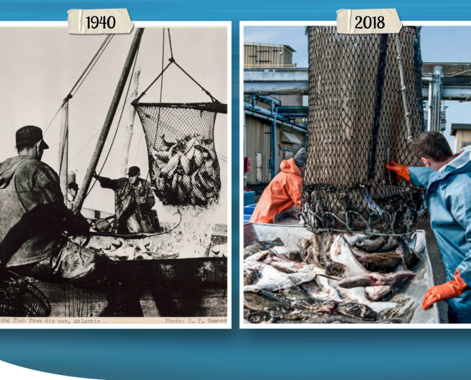
Magnuson-Stevens Act at 50: Charting a Course to Sustainable Fisheries
By fisheries.noaa.gov, fisheries.noaa.gov. This landmark legislation set the United States on track to become a world leader in sustainable fisheries management. In April, we celebrated the 50 years since the United States signed the Magnuson-Stevens Act. This landmark law set the United States on a course toward sustainably and cooperatively managed marine… SEE MORE
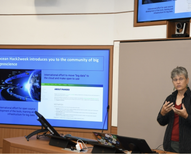
Breaking Barriers to “Big Earth Data”
By fisheries.noaa.gov, fisheries.noaa.gov. Dr. Elizabeth “Eli” Holmes received the prestigious Earth Science Information Partners Martha Maiden 2026 Award in January. Dr. Holmes’ 25-year career at NOAA Fisheries demonstrates a deep commitment to advancing open science, fostering collaboration across agencies, and inspiring the next generation of scientists. At NOAA’s Northwest Fisheries Science Center, Dr.… SEE MORE
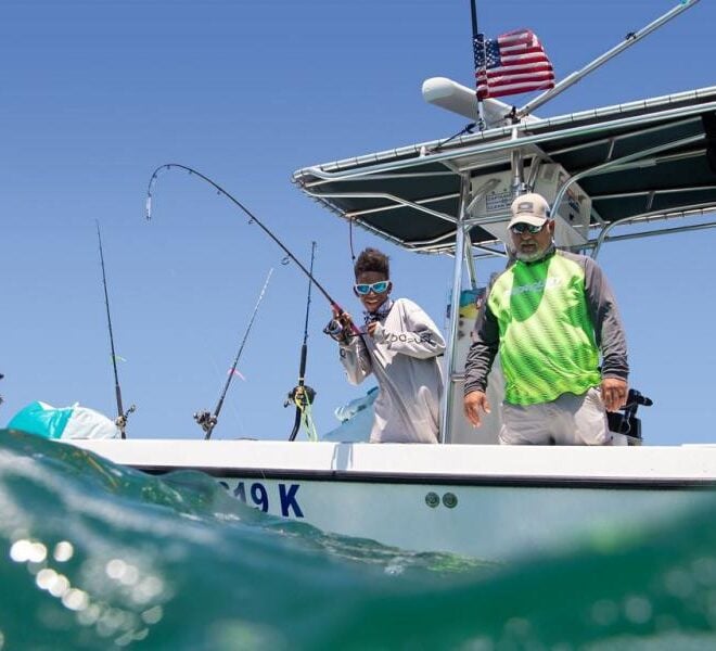
Future of the Catch: The Modernization of Recreational Red Snapper Data Collection
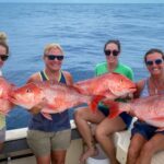
By fisheries.noaa.gov, fisheries.noaa.gov. NOAA Fisheries and partners are using innovative methods to modernize Gulf of America recreational red snapper data collection. These projects are working to deliver faster, more efficient science. Red snapper is a cultural and economic cornerstone for coastal communities in the Gulf of America. The species is… SEE MORE
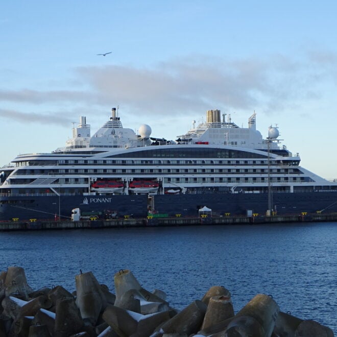
Luxury Antarctic Cruises Double as Climate Research Platforms Through WHOI-Ponant Partnership
By Laura Castanon, whoi.edu. A new partnership between Woods Hole Oceanographic Institution and French expedition cruise line Ponant is turning luxury Antarctic voyages into working science missions — giving researchers rare access to some of the most remote glaciers on the planet while passengers watch the work unfold in real… SEE MORE
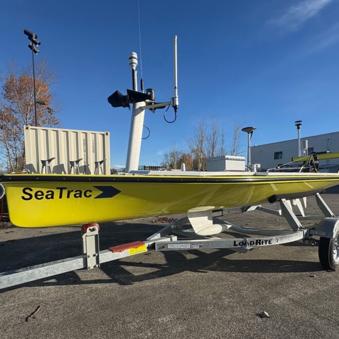
Another Ocean Drone Joins NOAA’s Growing Fleet
By noaa.gov, noaa.gov. The SeaTrac has the potential to become a do-it-all research platform It’s bright yellow, solar-powered and self-propelled. It can stay at sea for months, collecting data with a wide variety of off-the-shelf and NOAA-designed instruments. It’s emerging as the next important member of NOAA’s growing Uncrewed Surface… SEE MORE
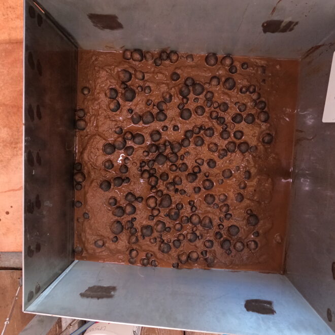
NOAA Releases First Images of Nodules from Waters Near American Samoa
By noaa.gov, noaa.gov. New images and samples were collected during 2026 efforts to map and characterize the seafloor in federal waters off American Samoa NOAA released today the first images of geologic seafloor samples from a hydrographic survey project to map and characterize more than 30,000 square nautical miles of federal waters in the… SEE MORE
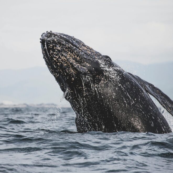
Gray Whale Population Decline Along the West Coast Raises Alarm for Coastal Communities
By Norris Comer, best4boats. Three dead gray whales discovered in Washington state waters in a single week in early April have renewed concerns about a troubling decline in the East Pacific gray whale population. For boaters, whale watchers, and coastal communities along the West Coast, these deaths are part of… SEE MORE
WHOI Scientists Use Drifters to Track Hidden Currents in Cape Cod Bay
By MARGARET GREGORY, whoi.edu. For anyone who fishes, boats, or harvests shellfish in Cape Cod Bay, the water beneath the surface is doing more than it appears. A team from Woods Hole Oceanographic Institution is deploying GPS-tracked drifters and running ocean models to map how currents move water, nutrients, and… SEE MORE