Fishing with dip nets in the 1940s and 2018. Credit: NOAA Fisheries Archives/G.T. Tooker (left); Shutterstock (right)

Magnuson-Stevens Act at 50: Charting a Course to Sustainable Fisheries

5/14/2026 - By fisheries.noaa.gov, fisheries.noaa.gov. This landmark legislation set the United States on track to become a world leader in sustainable fisheries management. In April, we celebrated the 50 years since the United States signed the Magnuson-Stevens Act. This landmark law set the United States on a course toward sustainably and cooperatively managed marine… SEE MORE
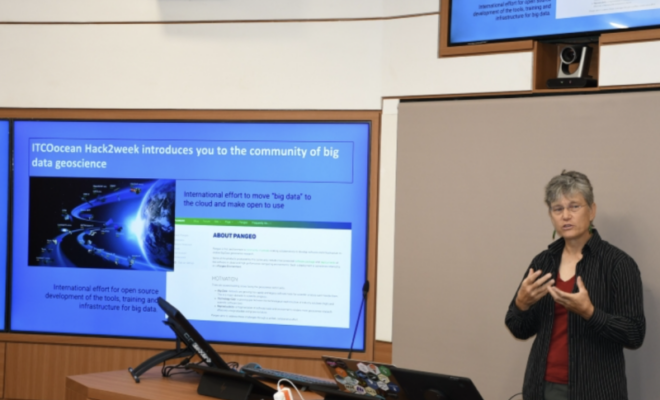
Dr. Holmes led a hack2week workshop as part of a NOAA International Fellowship in India in September 2023. Credit: International Training Centre for Operational Oceanography

Breaking Barriers to “Big Earth Data”

5/12/2026 - By fisheries.noaa.gov, fisheries.noaa.gov. Dr. Elizabeth "Eli" Holmes received the prestigious Earth Science Information Partners Martha Maiden 2026 Award in January. Dr. Holmes’ 25-year career at NOAA Fisheries demonstrates a deep commitment to advancing open science, fostering collaboration across agencies, and inspiring the next generation of scientists. At NOAA’s Northwest Fisheries Science Center, Dr.… SEE MORE
Recreational anglers enjoy a day on the water in the Florida Keys. NOAA/Matt McIntosh

Future of the Catch: The Modernization of Recreational Red Snapper Data Collection

5/8/2026 - By fisheries.noaa.gov, fisheries.noaa.gov. NOAA Fisheries and partners are using innovative methods to modernize Gulf of America recreational red snapper data collection. These projects are working to deliver faster, more efficient science. Red snapper is a cultural and economic cornerstone for coastal communities in the Gulf of America. The species is… SEE MORE
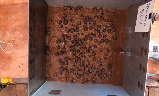
Image of geological samples from the seafloor that were collected via box core on April 14, 2026, in U.S. waters off American Samoa. (Image credit: USGS)

NOAA Releases First Images of Nodules from Waters Near American Samoa

4/24/2026 - By noaa.gov, noaa.gov. New images and samples were collected during 2026 efforts to map and characterize the seafloor in federal waters off American Samoa NOAA released today the first images of geologic seafloor samples from a hydrographic survey project to map and characterize more than 30,000 square nautical miles of federal waters in the… SEE MORE
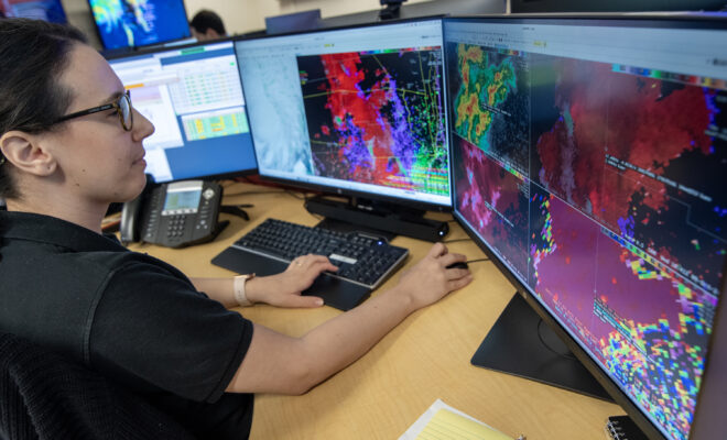
A meteorologist with NOAA’s National Weather Service reviews atmospheric data as part of the Advanced Weather Interactive Processing System (AWIPS), software that enables forecasters to analyze data, and issue forecasts and alerts. (Image credit: Robert Hyatt/NOAA NWS)

NOAA’s National Weather Service Eyes the Cloud for Next-Gen Applications

4/6/2026 - By noaa.gov, noaa.gov. Technology improvements will add mobility to the NWS throughout the U.S. NOAA’s National Weather Service (NWS) has awarded two contracts for the NWS’s new cloud-based data and applications services, launching a new era of modernization for the nation’s weather agency. These tools will effectively transfer the capabilities… SEE MORE
(Photo by Taylor Crockford, ©Woods Hole Oceanographic Institution)

WHOI Study Reveals the Hidden Molecules That Drive the Ocean’s Carbon Cycle

4/4/2026 - By whoi.edu, whoi.edu. The surface waters that boaters, anglers, and coastal communities depend on are teeming with invisible chemical exchanges that help regulate Earth's climate. A new study led by Woods Hole Oceanographic Institution and Columbia University has identified the specific molecules that marine phytoplankton release into seawater — compounds… SEE MORE