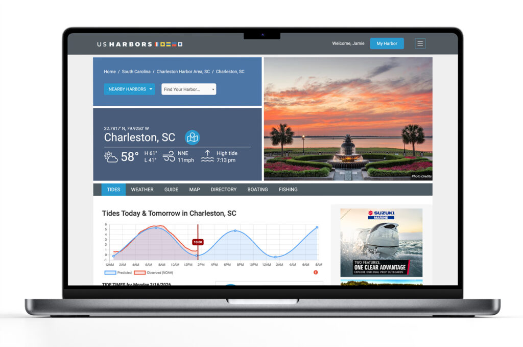
US Harbors is the #1 Source for Tide Charts and Coastal Information for over 1,400 harbors in 30 coastal states. Our curated data helps you plan smarter, enjoy your time on the water, and stay ahead of rapidly changing tides, storms, and flooding.
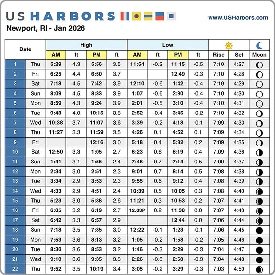
Tide Charts
US Harbors illustrates tide forecasts with our simple, intuitive charts. Easily scan the highs and lows online or print a convenient monthly tide chart for the boat or office.
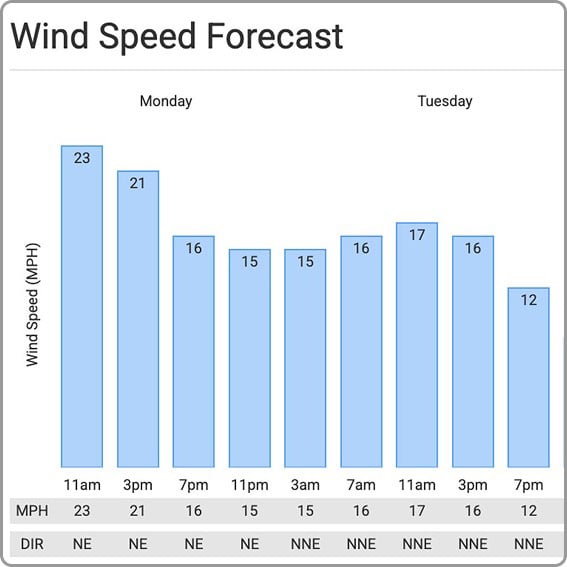
Weather
US Harbors delivers weather predictions with a focus on marine forecasts, buoy data, weather alerts, and onshore forecasts for harbors near you that include wind speed and direction, relative humidity, and more.
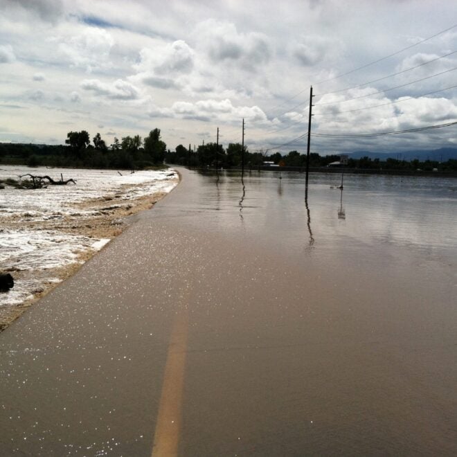
High Tide Flooding
Each month, we publish a high-tide flooding report for forecasted harbors across the country. Look for harbors near you to know when extreme high tides could cause flooding. Sign up for our newsletter to be alerted to new high tide flooding reports.
Latest Coastal News Filter
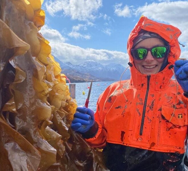
Meet Alaska Sea Greens: Farmers, Fishers, and Homesteaders on Kodiak Island
By Fisheries.Noaa.Gov, fisheries.noaa.gov. If you want to visit Kodiak Island in Alaska, you have two options. You can take a flight from Anchorage, about 250 miles away, or take the Alaska Marine Highway Ferry from Homer, which takes about 10 hours. Kodiak is stunningly beautiful and very remote. For the… SEE MORE
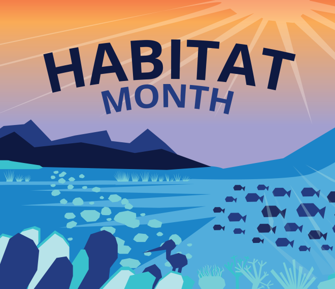
Celebrating Habitat Month
By Fisheries.Noaa.Gov, fisheries.noaa.gov. July is Habitat Month at NOAA Fisheries! All month long, we’ll be sharing how we conserve and restore habitat to sustain our nation’s fisheries and support coastal communities. NOAA conserves habitats like wetlands, rivers, and coral reefs to support fisheries—but habitat isn’t valuable just for the home it provides for fish and wildlife.… SEE MORE
Sudden Danger: The Science And Stakes of Flash Flood Forecasting
By research.noaa.gov, research.noaa.gov. Though not as feared as tornadoes, hail, or lightning, flash floods are one of the deadliest weather hazards in the United States. While the number of fatalities can vary dramatically from year to year, the national average for flood deaths is 88. Lightning accounts for an average of… SEE MORE
FEATURED CONTENT

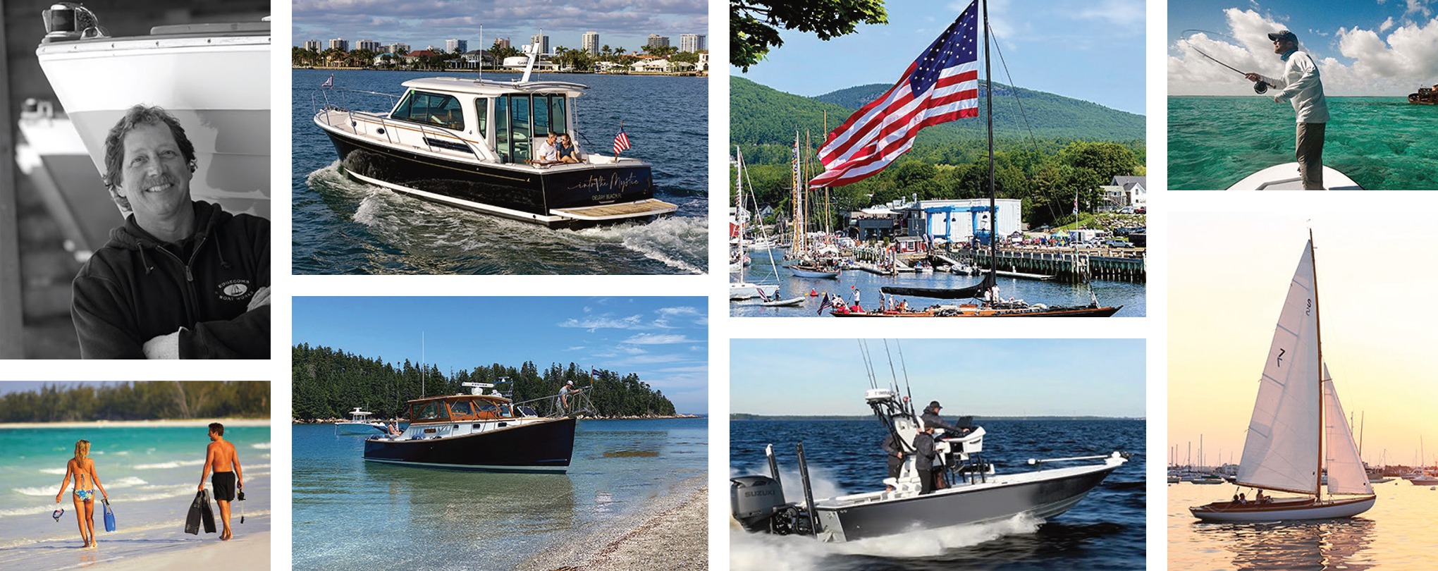
In The Zone: The Sabre 51 Salon Express
By US Harbors When Sabre Yachts completed construction of hull number 200 of its 48 Salon Express model, more than half the crew who built it had also worked on hull number one. The average tenure on that line was 12 years, and they produced a yacht that proved to… Learn More
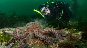
New eDNA Tool To Help Track Recovery Of Sunflower Sea Star, a Pacific Coast ‘Apex Predator’
By noaa.gov, noaa.gov. A wasting disease that surged during the intense 2013-2016 Pacific marine heatwave known as the Blob decimated numerous species of sea stars and triggered the collapse of vast coastal kelp forests from the Aleutians to the Baja Peninsula. One of the species most affected was the sunflower sea star, an… SEE MORE
What World Ocean Day Can Look Like in 100 Years
By noaa.gov, noaa.gov. More often than not, when we talk about ocean conservation, the conversation naturally gravitates toward what we stand to lose if we don’t act. This is only natural, as the urgency of the climate and biodiversity crises forces us to consider a future where our most cherished… SEE MORE
NOAA Strengthens Commitment to Aquaculture Through New Cooperative Institute
By noaa.gov, noaa.gov. Today, NOAA announced the University of New Hampshire as host institution for the new NOAA Cooperative Institute Fostering Aquaculture Research and Markets (CIFARM) to expand NOAA’s impact and strengthen efforts to boost American seafood competitiveness. After a highly competitive application process, this new five-year cooperative institute will harness partnerships… SEE MORE
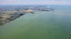
Moderate Harmful Algal Bloom Predicted for Western Lake Erie
By noaa.gov, noaa.gov. NOAA and its research partners are forecasting a moderate harmful algal bloom (HAB) in western Lake Erie this summer. This year’s bloom is expected to measure 3.5 on the HAB severity index, with a potential range of 3 to 4.5. “Toxic algae affect not only the health… SEE MORE

2026 Best Harbor Contest Winners Announced!
Padanaram, South Dartmouth, MA Wins Best Harbor Padanaram, Massachusetts is the Grand Winner, Best Harbor in the U.S. for 2026 Boaters and coastal enthusiasts in Padanaram, South Dartmouth, Massachusetts, got out the vote this year to take the prize as our Grand Winner, returning to the top spot in US… SEE MORE
Featured Harbors
Cast off the lines, explore the coast, and discover new harbors!
-
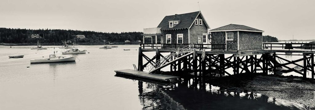 North Haven, ME
Midcoast & Penobscot Bay, ME
North Haven, ME
Midcoast & Penobscot Bay, ME
-
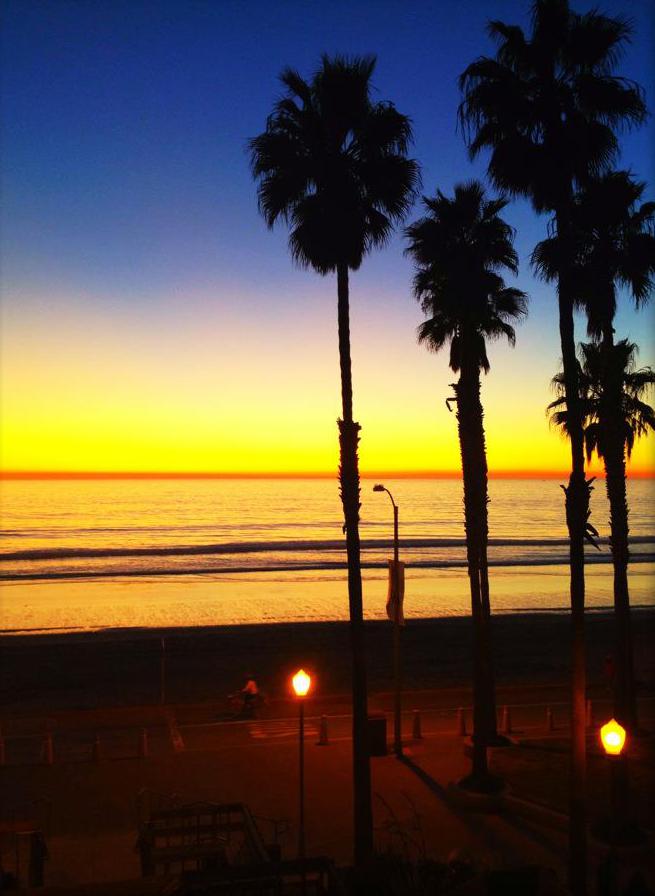 Oceanside, CA
South Coast, CA
Oceanside, CA
South Coast, CA
-
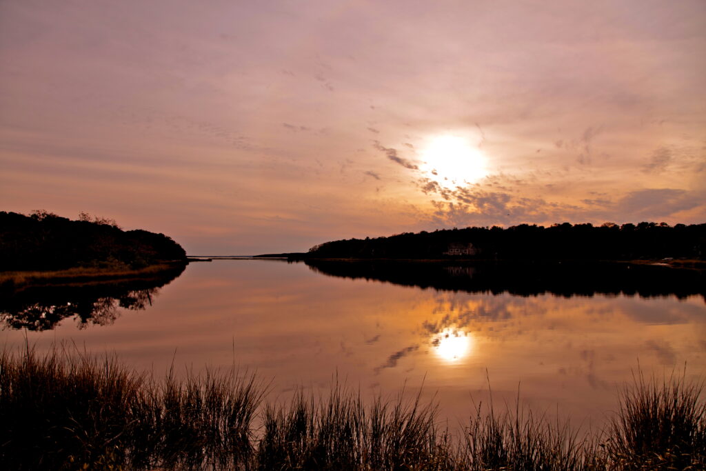 Mashpee, MA
Massachusetts
Mashpee, MA
Massachusetts
-
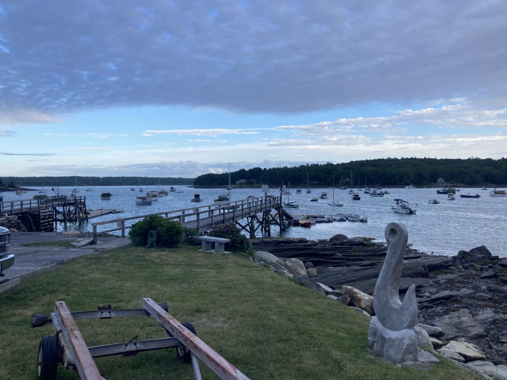 Round Pond, ME
Midcoast & Penobscot Bay, ME
Round Pond, ME
Midcoast & Penobscot Bay, ME
-
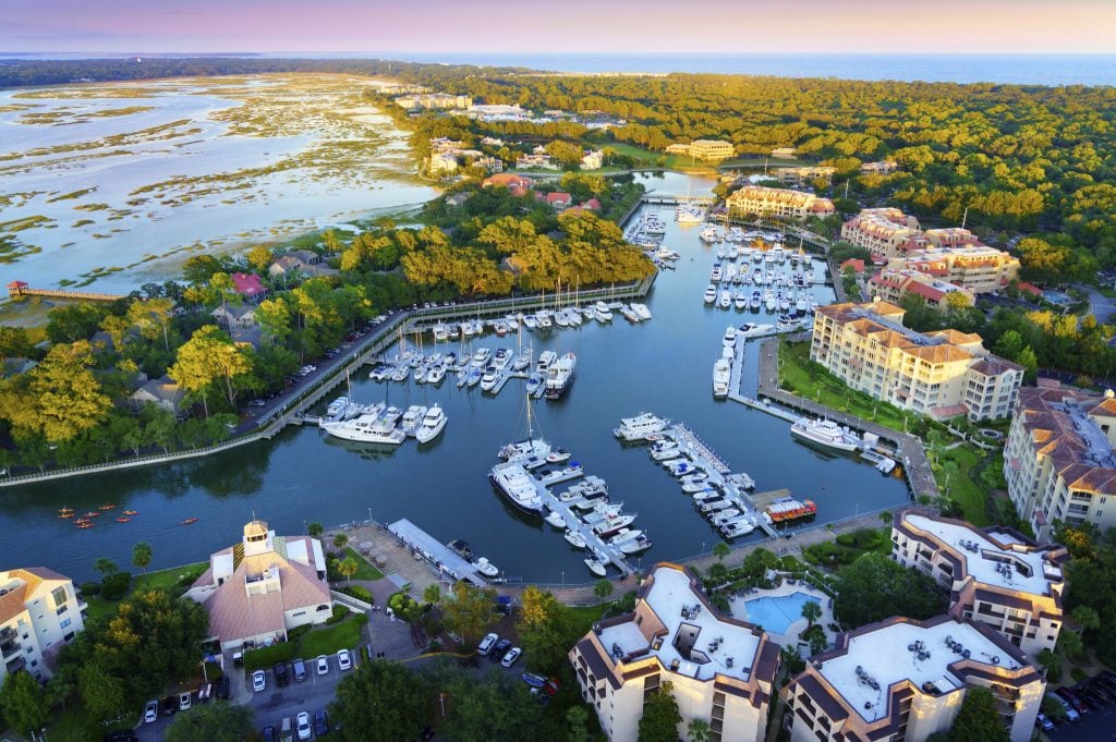 Shelter Cove, Hilton Head Island, SC
Southern Coast, SC
Shelter Cove, Hilton Head Island, SC
Southern Coast, SC
-
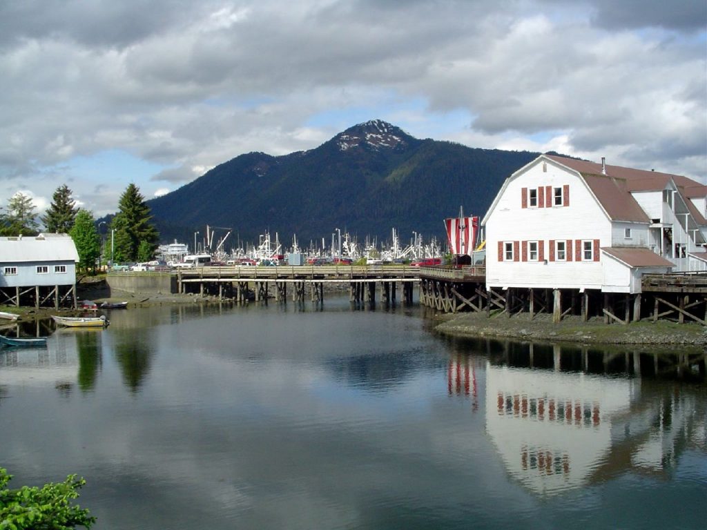 Petersburg, AK
Southeast Inside Passage, AK
Petersburg, AK
Southeast Inside Passage, AK
-
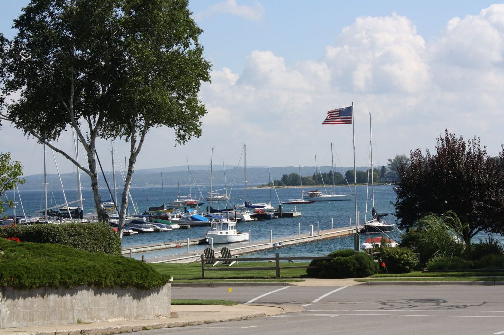 Harbor Springs, MI
Michigan
Harbor Springs, MI
Michigan
-
 Menemsha Harbor, MA
Massachusetts
Menemsha Harbor, MA
Massachusetts
-
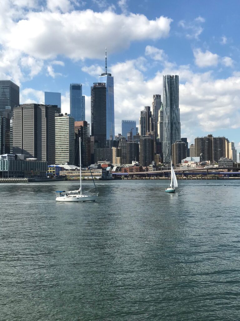 New York (The Battery), NY
New York City & Approaches, NY
New York (The Battery), NY
New York City & Approaches, NY
-
 Brooklin (Center Harbor), ME
Maine
Brooklin (Center Harbor), ME
Maine
-
 Deer Isle, Stonington, ME
Maine
Deer Isle, Stonington, ME
Maine
-
 Bass Harbor, ME
Maine
Bass Harbor, ME
Maine
-
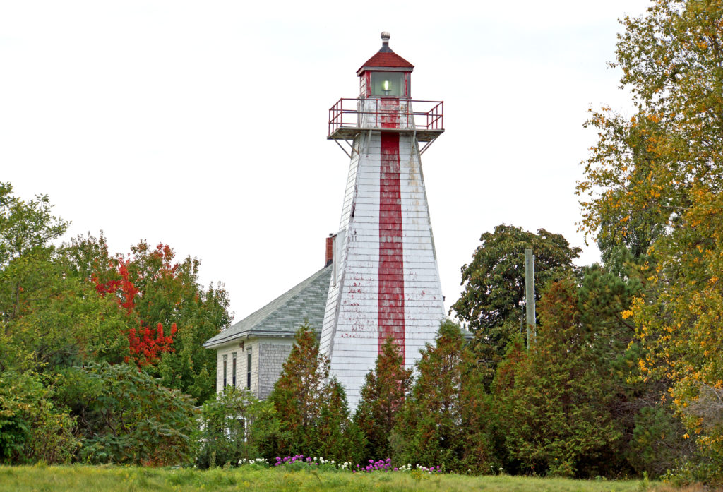 Georgetown Lighthouse, SC
South Carolina
Georgetown Lighthouse, SC
South Carolina
-
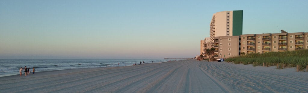 Garden City Beach, SC
South Carolina
Garden City Beach, SC
South Carolina
-
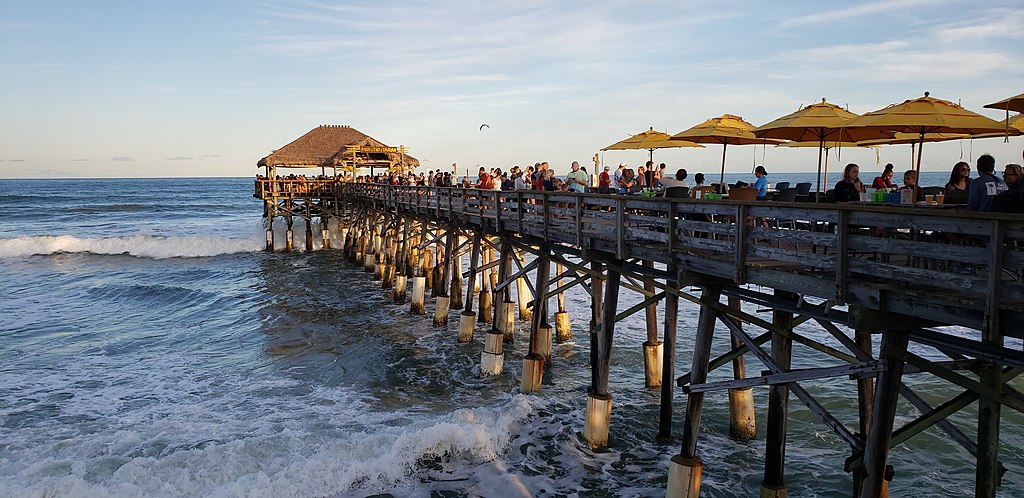 Cocoa Beach, FL
Florida
Cocoa Beach, FL
Florida