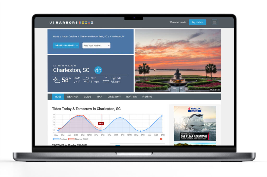
US Harbors is the #1 Source for Tide Charts and Coastal Information for over 1,400 harbors in 30 coastal states. Our curated data helps you plan smarter, enjoy your time on the water, and stay ahead of rapidly changing tides, storms, and flooding.
Tide Charts
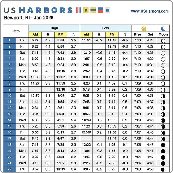
US Harbors illustrates tide forecasts with our simple, intuitive charts. Easily scan the highs and lows online or print a convenient monthly tide chart for the boat or office.
Weather
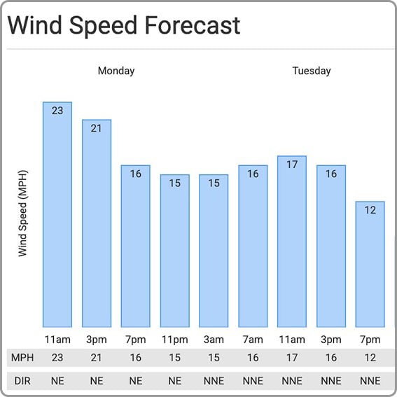
US Harbors delivers weather predictions with a focus on marine forecasts, buoy data, weather alerts, and onshore forecasts for harbors near you that include wind speed and direction, relative humidity, and more.
High Tide Flooding
Each month, we publish a high-tide flooding report for forecasted harbors across the country. Look for harbors near you to know when extreme high tides could cause flooding. Sign up for our newsletter to be alerted to new high tide flooding reports.
Latest Coastal News Filter
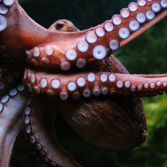
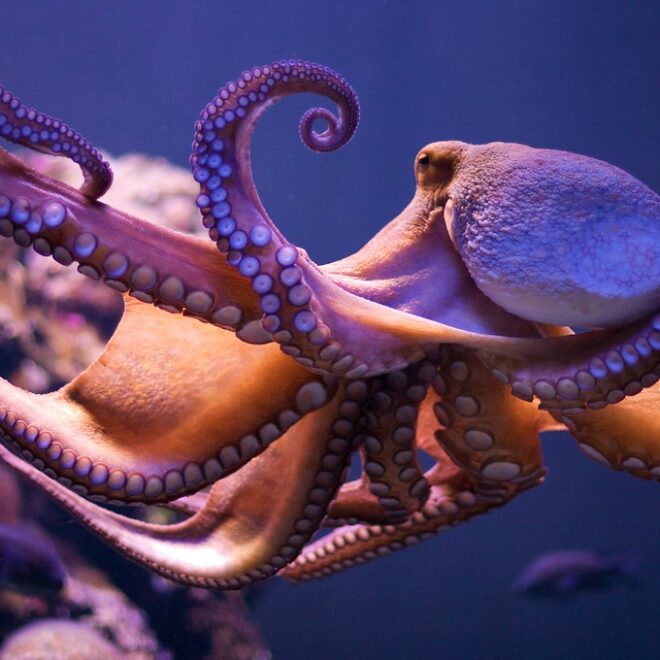
Remarkably Bright Creatures: A Story of Octopus Intelligence Set in the Pacific Northwest
By Janet Green Hammerman, best4boats.com. The Netflix adaptation of Shelby Van Pelt’s bestselling novel Remarkably Bright Creatures is drawing renewed attention to one of the ocean’s most fascinating inhabitants — the giant Pacific octopus. Set in a fictional Pacific Northwest coastal town, the story follows an aging widow, a drifting… SEE MORE
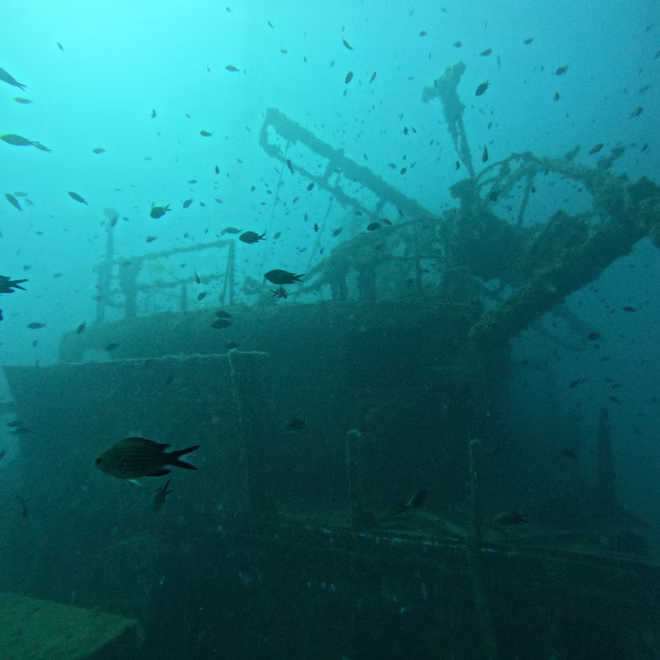
Eyes On The Deep: How Ocean Imaging Is Transforming Underwater Discovery
By Elise Hugus, whoi.edu. From ancient shipwrecks in the Black Sea to a lost WWI submarine off San Diego, the ability to see — and share — what lies on the ocean floor has never been more powerful. A new feature from WHOI’s Oceanus magazine profiles Dwight Coleman, the institution’s… SEE MORE
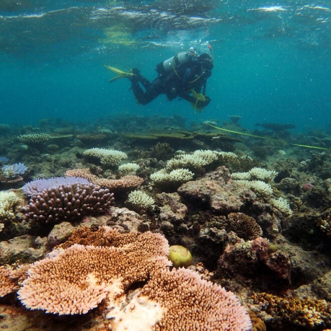
WHOI Develops Tool to Predict Coral Bleaching Months Before It Strikes
By whoi.edu, whoi.edu. A new forecasting tool from Woods Hole Oceanographic Institution could give reef managers and coastal communities a five-to-six-month head start on one of the ocean’s most destructive events: coral bleaching. Called the Bleaching Event Early Predictor (BEEP), the system works by tracking three large-scale climate patterns in… SEE MORE
FEATURED CONTENT

In The Zone: The Sabre 51 Salon Express
By US Harbors When Sabre Yachts completed construction of hull number 200 of its 48 Salon Express model, more than half the crew who built it had also worked on hull number one. The average tenure on that line was 12 years, and they produced a yacht that proved to… Learn More
Remarkably Bright Creatures: A Story of Octopus Intelligence Set in the Pacific Northwest
By Janet Green Hammerman, best4boats.com. The Netflix adaptation of Shelby Van Pelt’s bestselling novel Remarkably Bright Creatures is drawing renewed attention to one of the ocean’s most fascinating inhabitants — the giant Pacific octopus. Set in a fictional Pacific Northwest coastal town, the story follows an aging widow, a drifting… SEE MORE
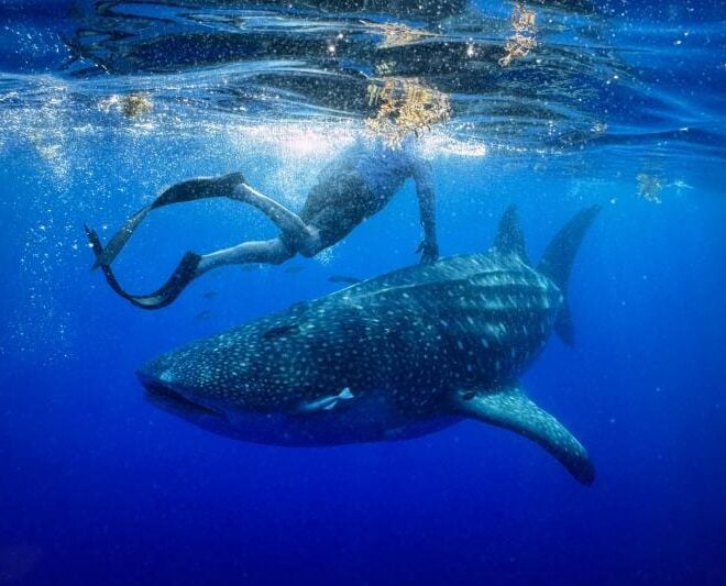
A Year in the Life of Larry the Whale Shark
By fisheries.noaa.gov, fisheries.noaa.gov. One year ago today, researchers deployed a satellite tag on a whale shark off the coast of Tampa Bay, Florida. They never could have anticipated the epic journey that would ensue. On May 28, 2025, researchers set out from Boca Ciega Bay, Florida, heading into the Gulf… SEE MORE
![Coral bleaching at Cheeca Rocks in the Florida Keys in 2023. [Credit: NOAA]](https://www.usharbors.com/wp-content/uploads/2026/06/NOAA_Cheeca-Rocks_07312023_7-e.jpg-660x660.webp)
World’s Fourth Mass Coral Bleaching Event Likely Ended in 2025
By nesdis.noaa.gov, nesdis.noaa.gov. After analyzing satellite data and bleaching observations, NOAA’s experts say the record-breaking fourth global coral bleaching event likely concluded in mid-2025. The fourth global coral bleaching event was confirmed by NOAA on April 15, 2024. From early-2023 to mid-2025, bleaching-level heat stress impacted 84% of the world’s coral… SEE MORE
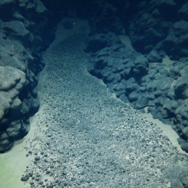
NOAA Scientists and Partners to Map Deep Waters, Seabed in the Cook Islands
By noaa.gov, noaa.gov. This summer, NOAA Ocean Exploration will conduct an expedition on NOAA Ship Okeanos Explorer to map, explore and characterize deep waters off the coast of the Cook Islands. The effort is in partnership with the Cook Islands Seabed Minerals Authority. Using remotely operated vehicles (ROVs), mapping technologies and onsite… SEE MORE
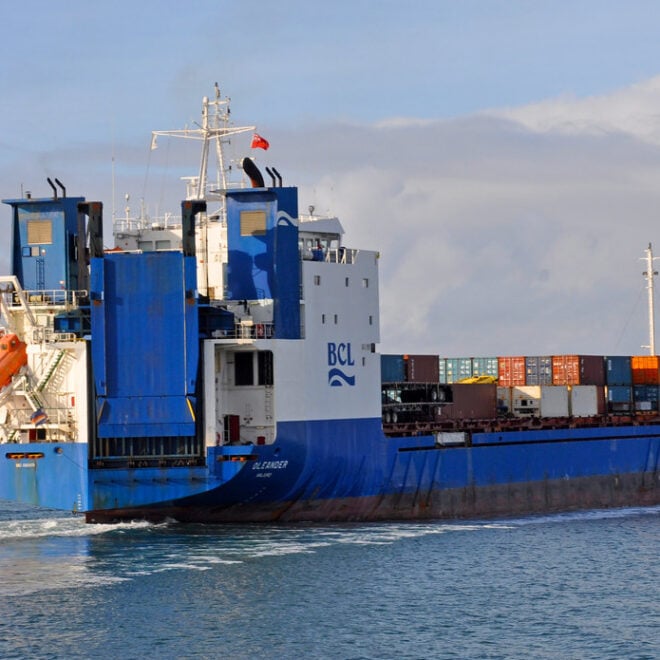
The Container Ship That's Also an Ocean Science Lab
By Amy E. Nevala, whoi.edu. Some of the most valuable ocean data in the Atlantic isn’t being collected by a research vessel — it’s riding aboard a container ship. The M/V Oleander, which makes twice-weekly cargo runs between Port Elizabeth, New Jersey, and Hamilton, Bermuda, has carried scientific instruments since… SEE MORE
Featured Harbors
Cast off the lines, explore the coast, and discover new harbors!
-
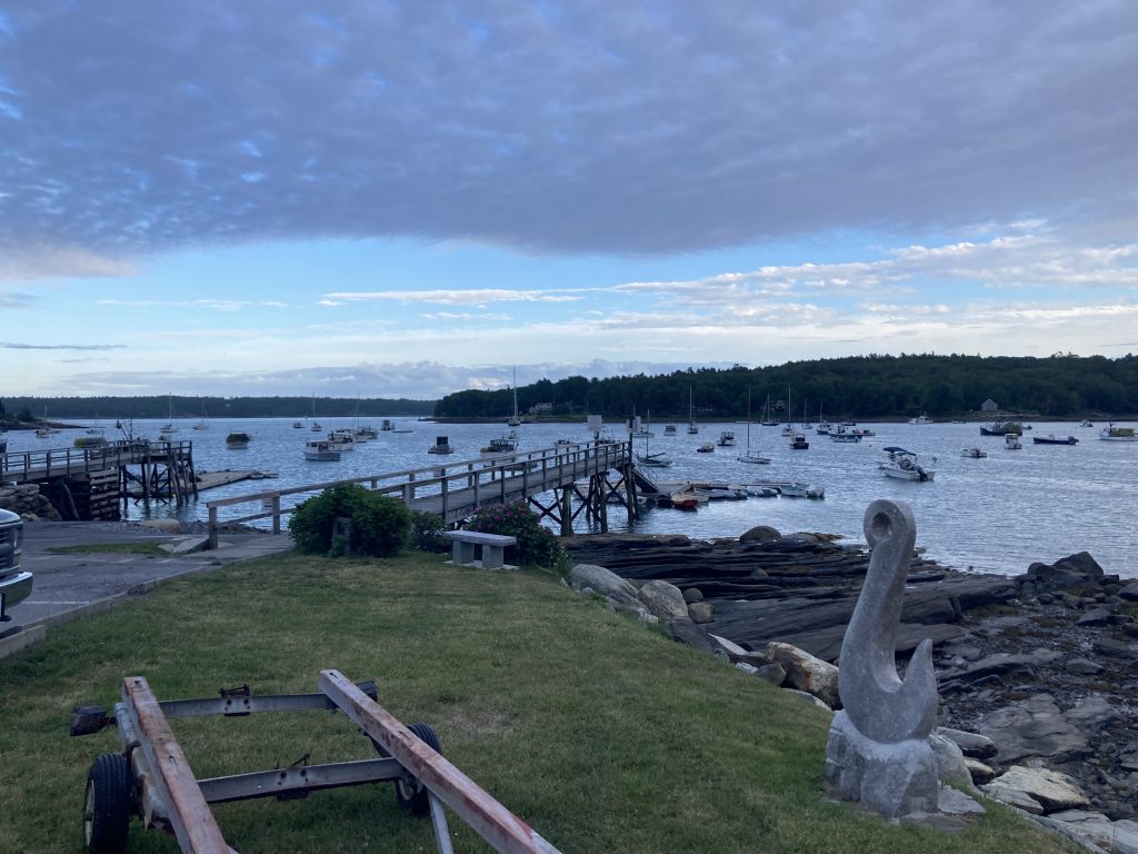
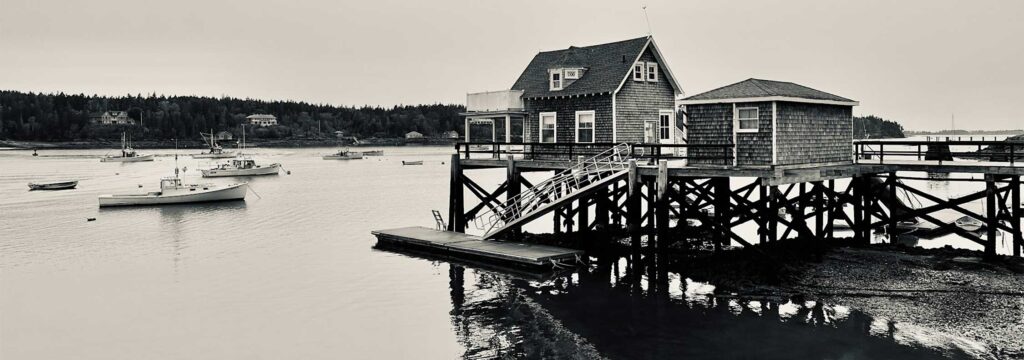 North Haven, ME
Midcoast & Penobscot Bay, ME
North Haven, ME
Midcoast & Penobscot Bay, ME
-
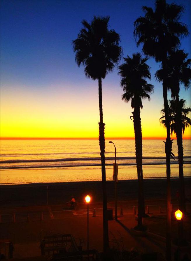 Oceanside, CA
South Coast, CA
Oceanside, CA
South Coast, CA
-
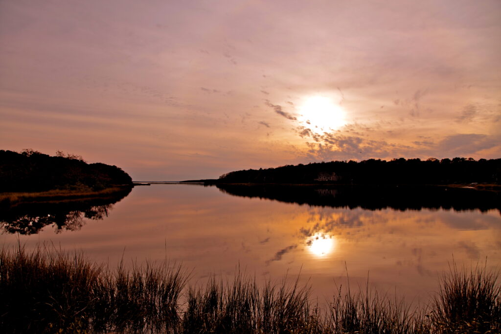 Mashpee, MA
Massachusetts
Mashpee, MA
Massachusetts
-
 Round Pond, ME
Midcoast & Penobscot Bay, ME
Round Pond, ME
Midcoast & Penobscot Bay, ME
-
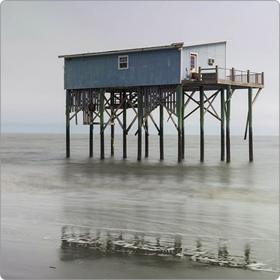
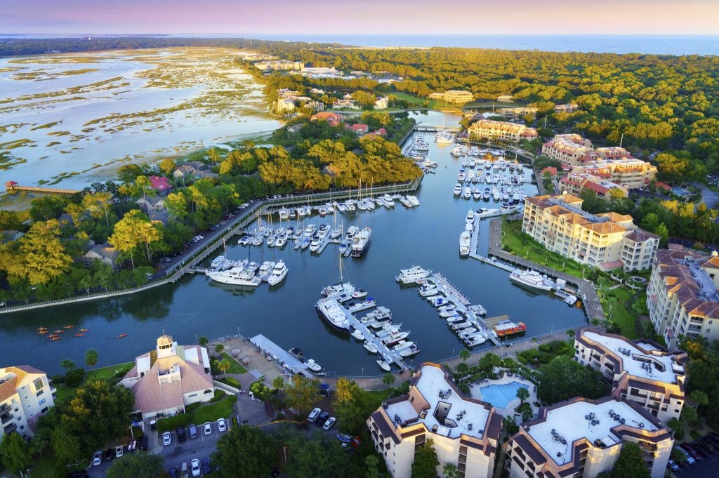 Shelter Cove, Hilton Head Island, SC
Southern Coast, SC
Shelter Cove, Hilton Head Island, SC
Southern Coast, SC
-
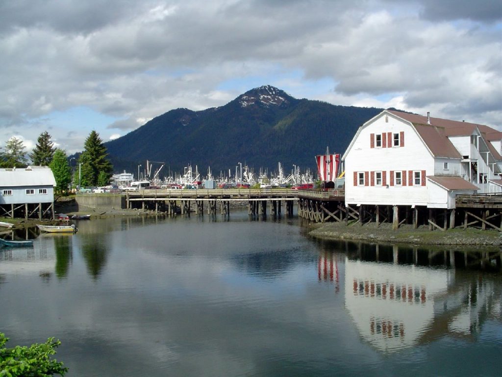 Petersburg, AK
Southeast Inside Passage, AK
Petersburg, AK
Southeast Inside Passage, AK
-
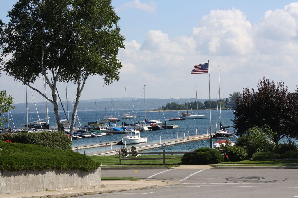 Harbor Springs, MI
Michigan
Harbor Springs, MI
Michigan
-
 Menemsha Harbor, MA
Massachusetts
Menemsha Harbor, MA
Massachusetts
-
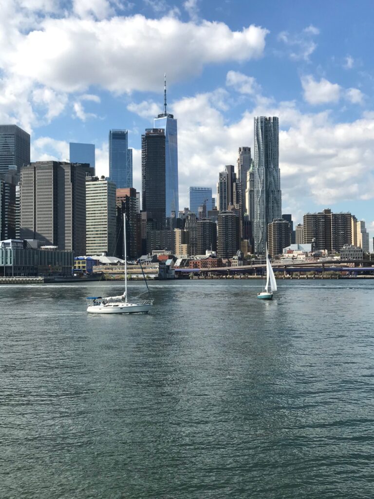 New York (The Battery), NY
New York City & Approaches, NY
New York (The Battery), NY
New York City & Approaches, NY
-
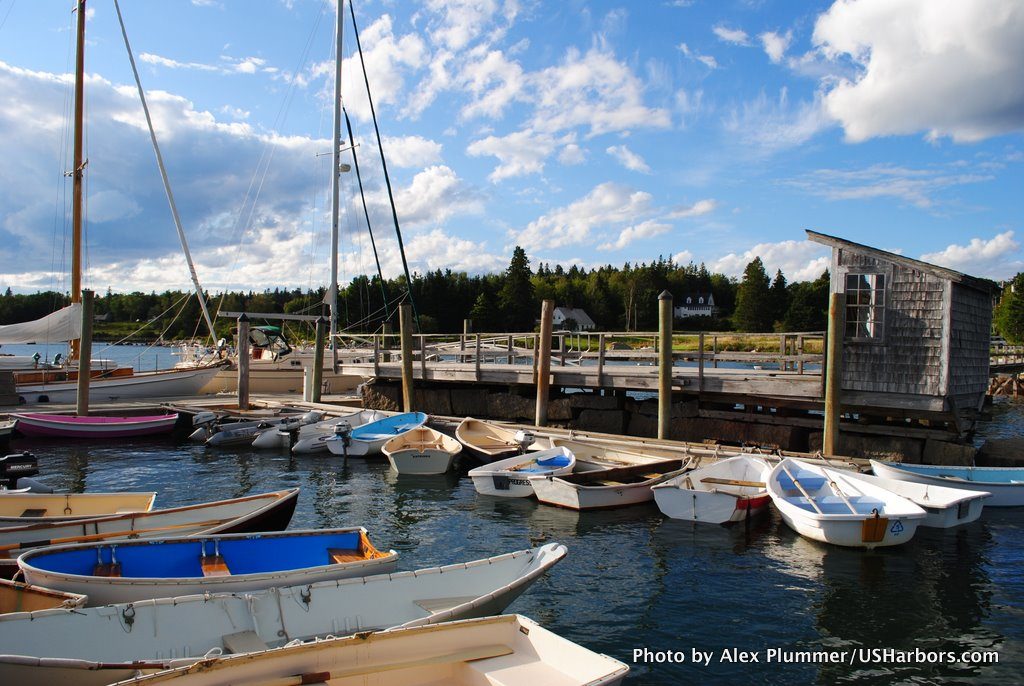 Brooklin (Center Harbor), ME
Maine
Brooklin (Center Harbor), ME
Maine
-
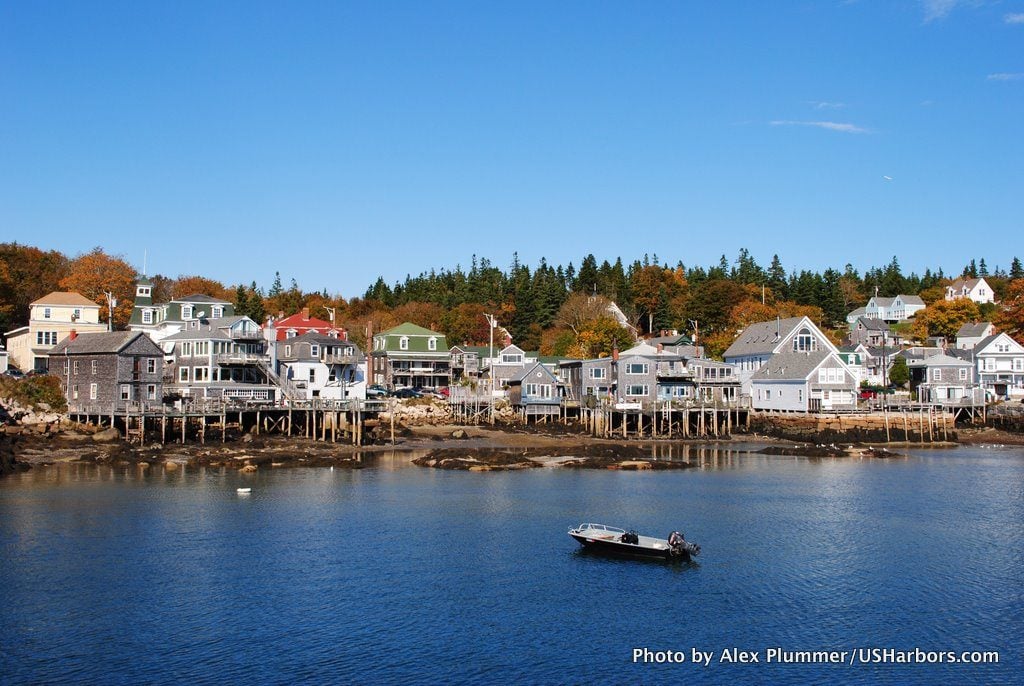 Deer Isle, Stonington, ME
Maine
Deer Isle, Stonington, ME
Maine
-
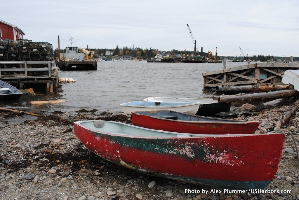 Bass Harbor, ME
Maine
Bass Harbor, ME
Maine
-
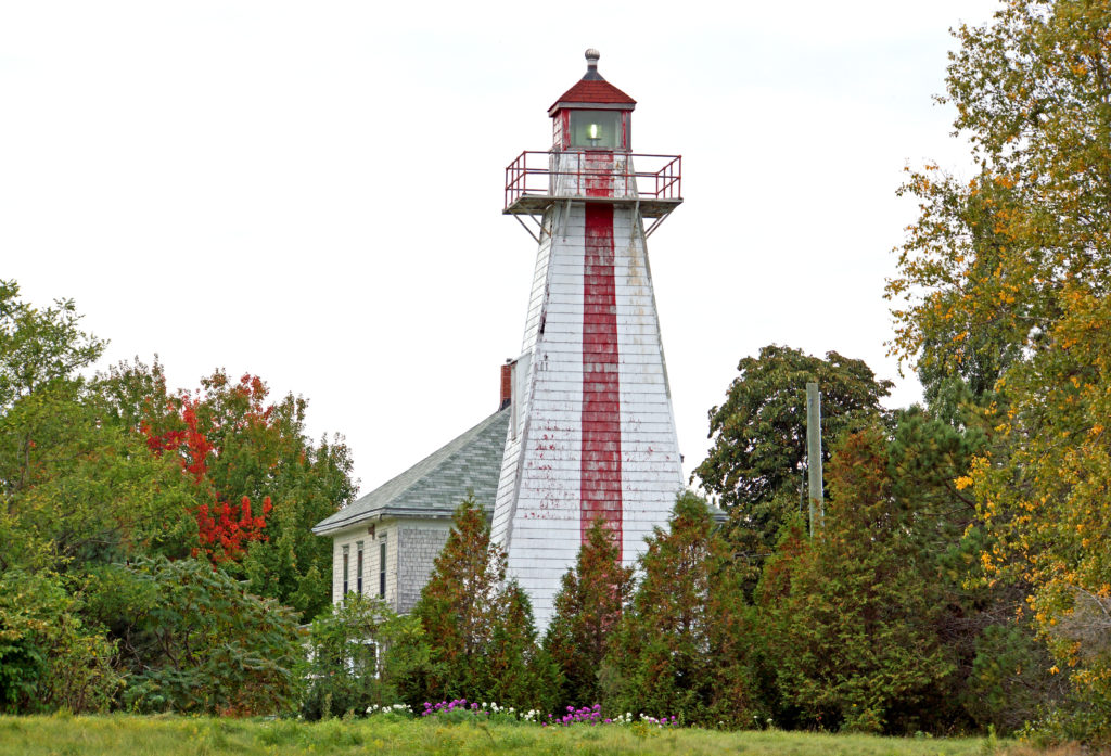 Georgetown Lighthouse, SC
South Carolina
Georgetown Lighthouse, SC
South Carolina
-
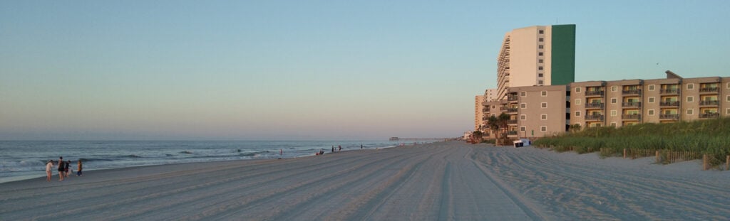 Garden City Beach, SC
South Carolina
Garden City Beach, SC
South Carolina
-
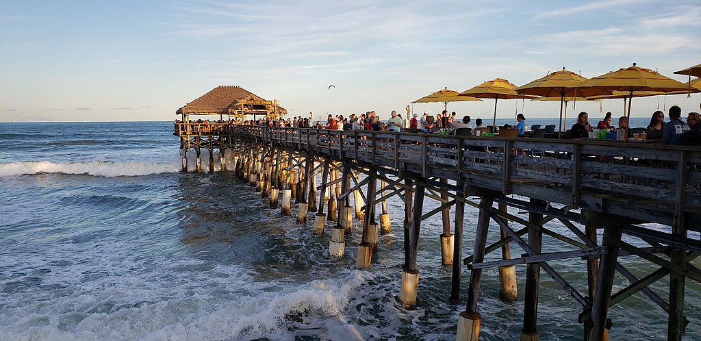 Cocoa Beach, FL
Florida
Cocoa Beach, FL
Florida