US Harbors is the #1 Source for Tide Charts and Coastal Information for over 1,400 harbors in 30 coastal states. Our curated data helps you plan smarter, enjoy your time on the water, and stay ahead of rapidly changing tides, storms, and flooding.
Tide Charts
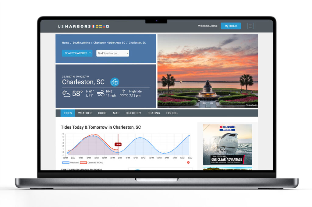
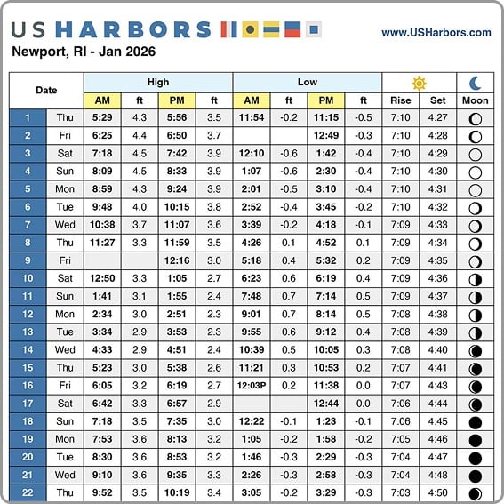
US Harbors illustrates tide forecasts with our simple, intuitive charts. Easily scan the highs and lows online or print a convenient monthly tide chart for the boat or office.
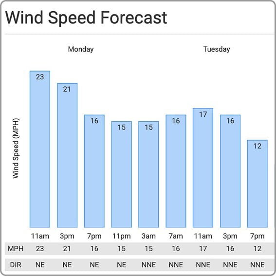
Weather
US Harbors delivers weather predictions with a focus on marine forecasts, buoy data, weather alerts, and onshore forecasts for harbors near you that include wind speed and direction, relative humidity, and more.
High Tide Flooding
Each month, we publish a high-tide flooding report for forecasted harbors across the country. Look for harbors near you to know when extreme high tides could cause flooding. Sign up for our newsletter to be alerted to new high tide flooding reports.
Latest Coastal News Filter
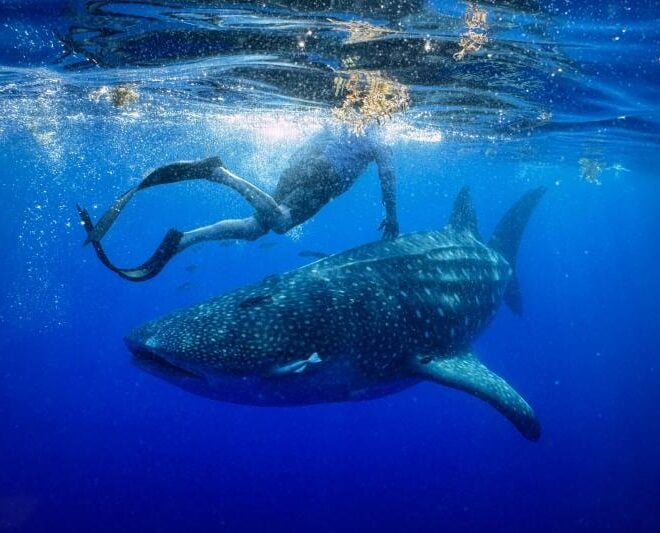
A Year in the Life of Larry the Whale Shark
By fisheries.noaa.gov, fisheries.noaa.gov. One year ago today, researchers deployed a satellite tag on a whale shark off the coast of Tampa Bay, Florida. They never could have anticipated the epic journey that would ensue. On May 28, 2025, researchers set out from Boca Ciega Bay, Florida, heading into the Gulf… SEE MORE
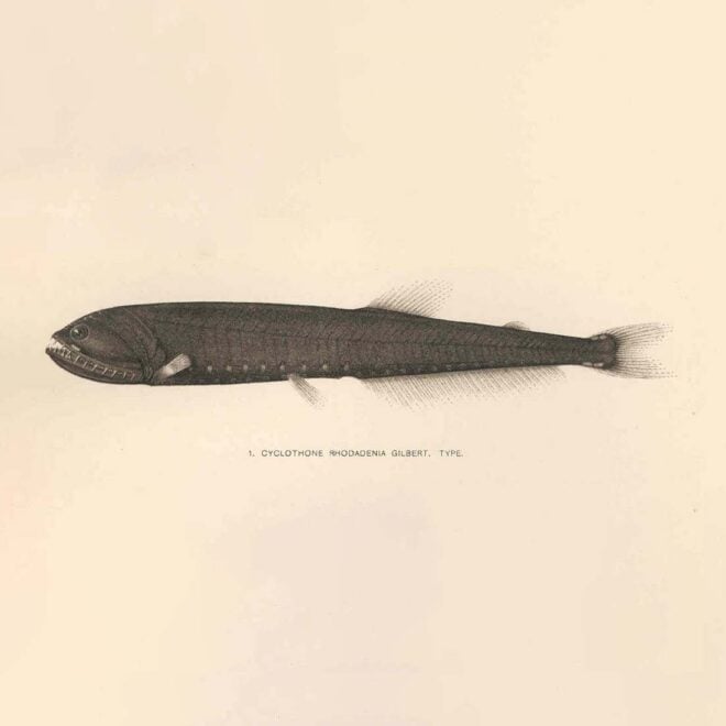
The Ocean's Most Abundant Fish Evolved in Extreme Heat — and That May Be Good News
By Daniel Hentz, whoi.edu. The most numerous fish in the ocean isn’t one most boaters or anglers will ever see. Bristlemouths — tiny, deep-dwelling fish of the genus Cyclothone — number in the quadrillions and play a major role in the ocean’s biological carbon pump, helping move CO₂ from the… SEE MORE
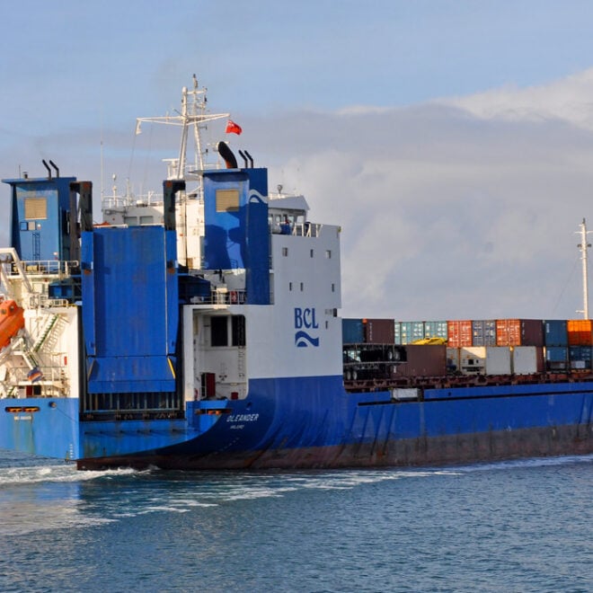
The Container Ship That's Also an Ocean Science Lab
By Amy E. Nevala, whoi.edu. Some of the most valuable ocean data in the Atlantic isn’t being collected by a research vessel — it’s riding aboard a container ship. The M/V Oleander, which makes twice-weekly cargo runs between Port Elizabeth, New Jersey, and Hamilton, Bermuda, has carried scientific instruments since… SEE MORE
FEATURED CONTENT

In The Zone: The Sabre 51 Salon Express
By US Harbors When Sabre Yachts completed construction of hull number 200 of its 48 Salon Express model, more than half the crew who built it had also worked on hull number one. The average tenure on that line was 12 years, and they produced a yacht that proved to… Learn More
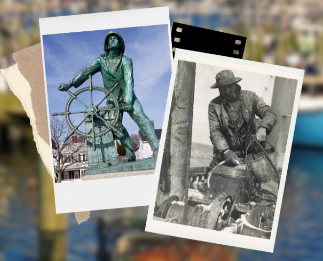
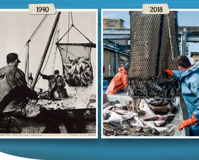
New England Fishery Management: Backed by Science, Shaped by People
By fisheries.noaa.gov, fisheries.noaa.gov. One of New England’s most iconic sights: Rain or shine, fishing boats slipping out of the harbor at dawn, just as they have for generations. The centuries-old scene feels timeless. But the industry behind it isn’t sustained by tradition alone; it endures because of science-based management. At… SEE MORE
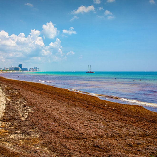
NOAA Sargassum Tool Now Provides Daily Update of Risk of Seaweed Washing up on Beaches
By research.noaa.gov, research.noaa.gov. Upgrade will help communities anticipate impacts, risks, and supports planning and response. NOAA’s Sargassum Inundation Risk tool (SIR) has been upgraded to offer daily reports on the location and risk that brown floating algae could wash ashore along coastal areas in the Caribbean, Florida, Gulf of America, and northern… SEE MORE
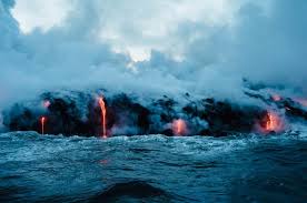
Three Ocean Robots Exploring Active Underwater Volcanoes
By Amelia Macapia, whoi.edu. The ocean floor is home to thousands of volcanoes — many of them active — and understanding what’s happening down there requires machines that can go where humans can’t. A new feature from WHOI’s Oceanus magazine profiles three robotic vehicles that are transforming what scientists know… SEE MORE
Magnuson-Stevens Act at 50: Charting a Course to Sustainable Fisheries
By fisheries.noaa.gov, fisheries.noaa.gov. This landmark legislation set the United States on track to become a world leader in sustainable fisheries management. In April, we celebrated the 50 years since the United States signed the Magnuson-Stevens Act. This landmark law set the United States on a course toward sustainably and cooperatively managed marine… SEE MORE
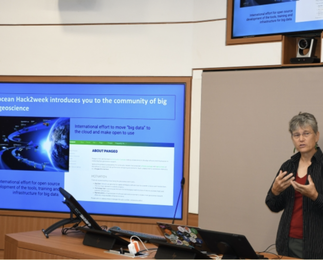
Breaking Barriers to “Big Earth Data”
By fisheries.noaa.gov, fisheries.noaa.gov. Dr. Elizabeth “Eli” Holmes received the prestigious Earth Science Information Partners Martha Maiden 2026 Award in January. Dr. Holmes’ 25-year career at NOAA Fisheries demonstrates a deep commitment to advancing open science, fostering collaboration across agencies, and inspiring the next generation of scientists. At NOAA’s Northwest Fisheries Science Center, Dr.… SEE MORE
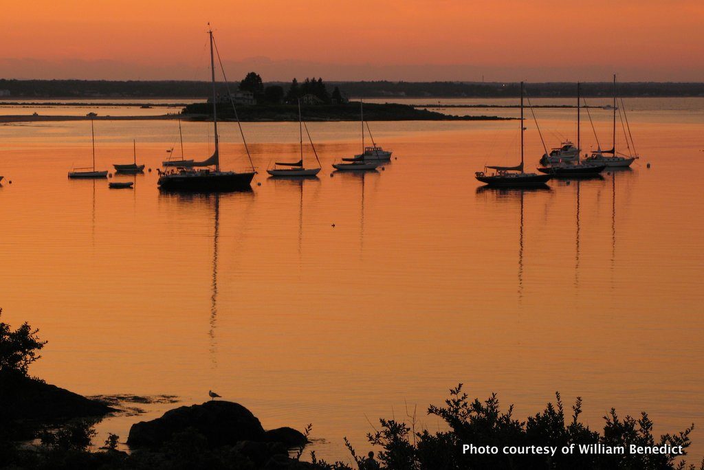
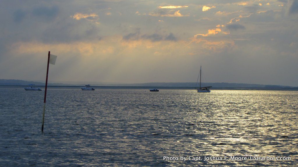
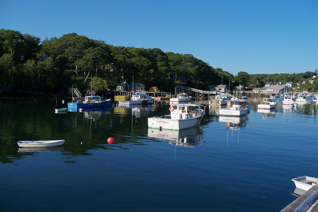
Featured Harbors
Cast off the lines, explore the coast, and discover new harbors!
-
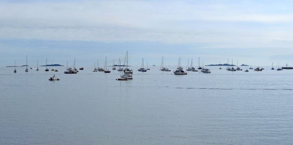
 Biddeford Pool, ME
Southern Coast & Casco Bay, ME
Biddeford Pool, ME
Southern Coast & Casco Bay, ME
-
 Barnstable Harbor, MA
Massachusetts
Barnstable Harbor, MA
Massachusetts
-
 New Harbor, ME
Midcoast & Penobscot Bay, ME
New Harbor, ME
Midcoast & Penobscot Bay, ME
-
 Wrightsville Beach, NC
Southern Shore, NC
Wrightsville Beach, NC
Southern Shore, NC
-
 Weekapaug Point, RI
Rhode Island
Weekapaug Point, RI
Rhode Island
-
 Savannah, GA
Georgia
Savannah, GA
Georgia
-
 Mayport Naval Station, St Johns R, FL
Northeast, FL
Mayport Naval Station, St Johns R, FL
Northeast, FL
-
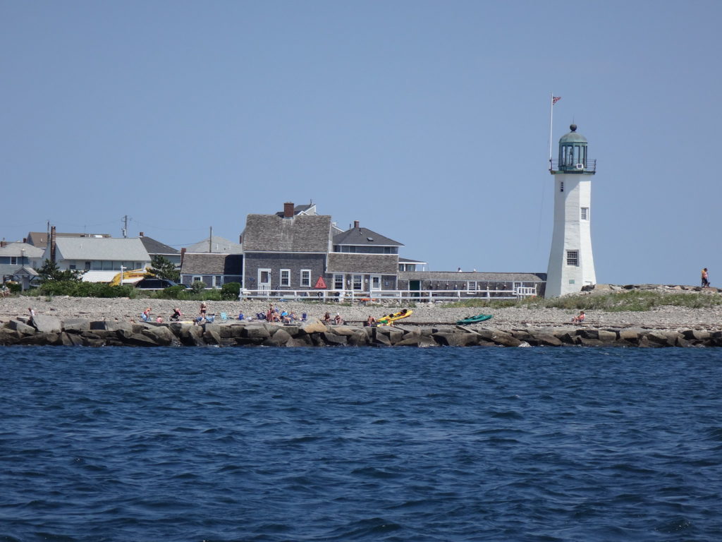 Scituate Harbor, MA
Massachusetts
Scituate Harbor, MA
Massachusetts
-
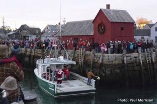 Rockport, MA
North Shore, MA
Rockport, MA
North Shore, MA
-
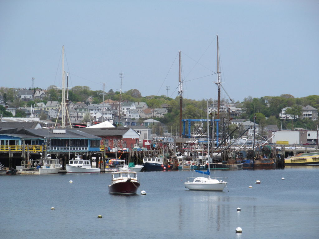 Gloucester, MA
North Shore, MA
Gloucester, MA
North Shore, MA
-
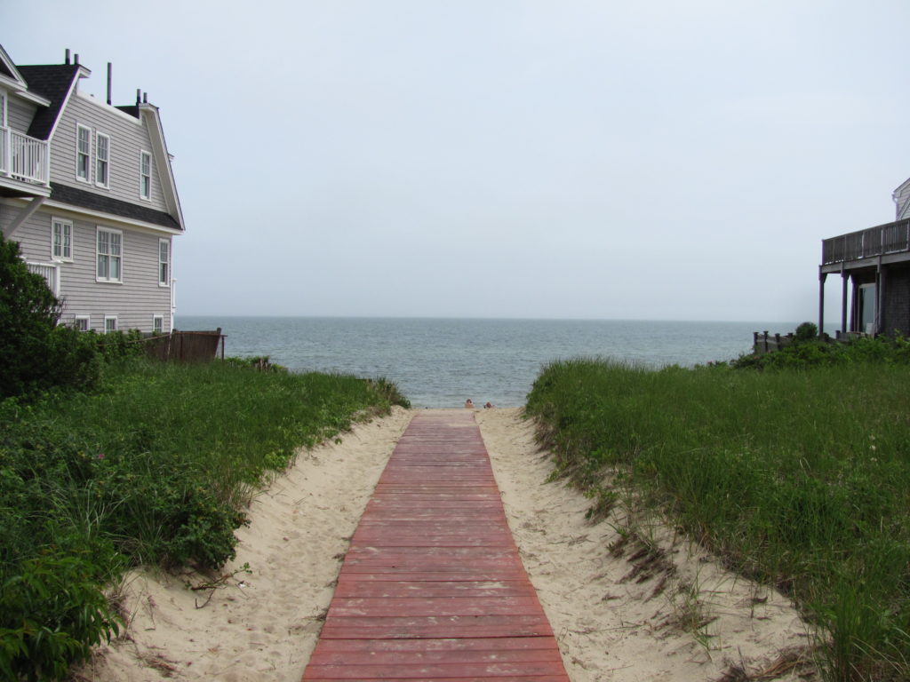 Dennis Port, MA
Massachusetts
Dennis Port, MA
Massachusetts
-
 Beverly, MA
North Shore, MA
Beverly, MA
North Shore, MA
-
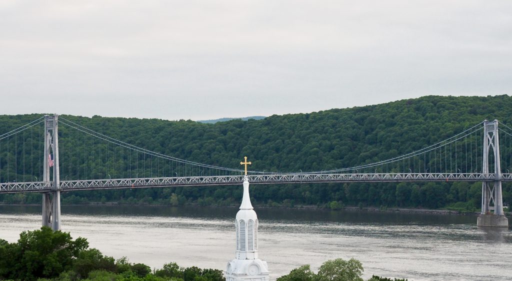 Poughkeepsie, NY
New York
Poughkeepsie, NY
New York
-
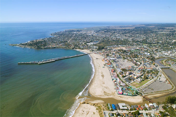 Santa Cruz (Monterey Bay), CA
Central Coast, CA
Santa Cruz (Monterey Bay), CA
Central Coast, CA
-
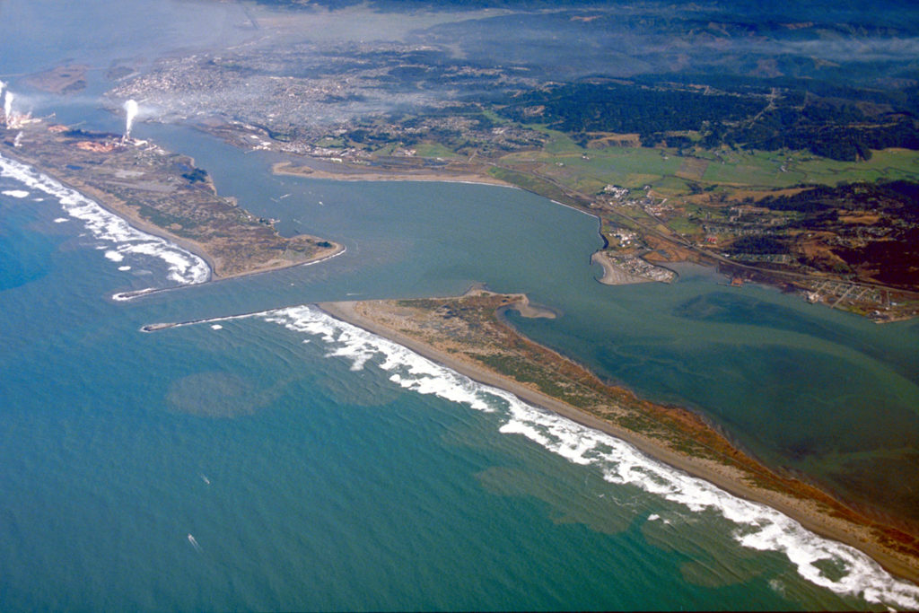 Eureka, CA
North Coast, CA
Eureka, CA
North Coast, CA