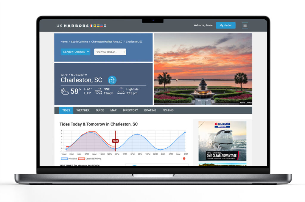
US Harbors is the #1 Source for Tide Charts and Coastal Information for over 1,400 harbors in 30 coastal states. Our curated data helps you plan smarter, enjoy your time on the water, and stay ahead of rapidly changing tides, storms, and flooding.
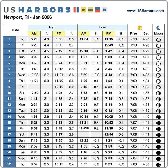
Tide Charts
US Harbors illustrates tide forecasts with our simple, intuitive charts. Easily scan the highs and lows online or print a convenient monthly tide chart for the boat or office.
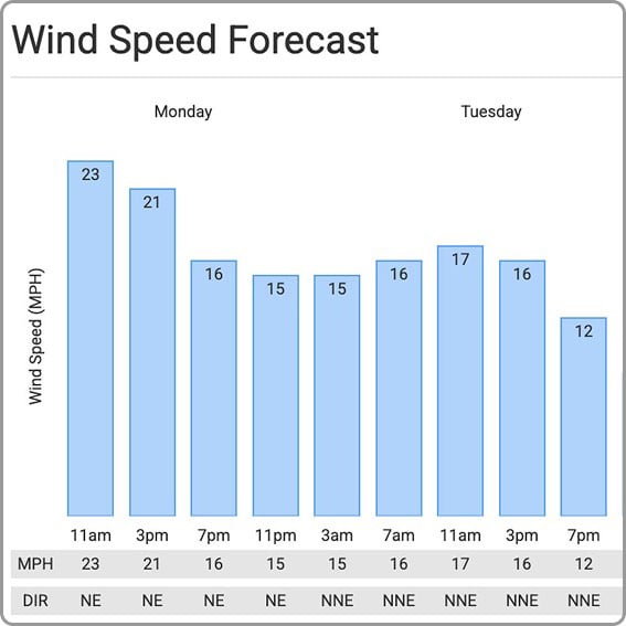
Weather
US Harbors delivers weather predictions with a focus on marine forecasts, buoy data, weather alerts, and onshore forecasts for harbors near you that include wind speed and direction, relative humidity, and more.
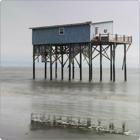
High Tide Flooding
Each month, we publish a high-tide flooding report for forecasted harbors across the country. Look for harbors near you to know when extreme high tides could cause flooding. Sign up for our newsletter to be alerted to new high tide flooding reports.
Latest Coastal News Filter
El Nino Forms, Expected To Strengthen, Say NOAA Forecasters
By noaa.gov, noaa.gov. NOAA’s National Weather Service announced today that El Nino has developed in the tropical Pacific, and issued an El Nino Advisory. El Nino, the warm phase of the El Nino Southern Oscillation (ENSO), is predicted to intensify to a moderate or strong level this fall. Forecasters predict… SEE MORE
What World Ocean Day Can Look Like in 100 Years
By noaa.gov, noaa.gov. More often than not, when we talk about ocean conservation, the conversation naturally gravitates toward what we stand to lose if we don’t act. This is only natural, as the urgency of the climate and biodiversity crises forces us to consider a future where our most cherished… SEE MORE
WHOI Develops Tool to Predict Coral Bleaching Months Before It Strikes
By whoi.edu, whoi.edu. A new forecasting tool from Woods Hole Oceanographic Institution could give reef managers and coastal communities a five-to-six-month head start on one of the ocean’s most destructive events: coral bleaching. Called the Bleaching Event Early Predictor (BEEP), the system works by tracking three large-scale climate patterns in… SEE MORE
FEATURED CONTENT

In The Zone: The Sabre 51 Salon Express
By US Harbors When Sabre Yachts completed construction of hull number 200 of its 48 Salon Express model, more than half the crew who built it had also worked on hull number one. The average tenure on that line was 12 years, and they produced a yacht that proved to… Learn More
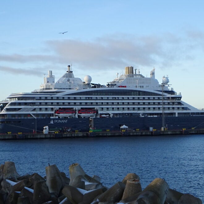
Luxury Antarctic Cruises Double as Climate Research Platforms Through WHOI-Ponant Partnership
By Laura Castanon, whoi.edu. A new partnership between Woods Hole Oceanographic Institution and French expedition cruise line Ponant is turning luxury Antarctic voyages into working science missions — giving researchers rare access to some of the most remote glaciers on the planet while passengers watch the work unfold in real… SEE MORE
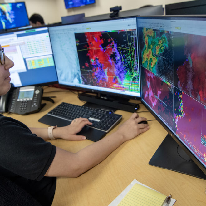
NOAA's National Weather Service Eyes the Cloud for Next-Gen Applications
By noaa.gov, noaa.gov. Technology improvements will add mobility to the NWS throughout the U.S. NOAA’s National Weather Service (NWS) has awarded two contracts for the NWS’s new cloud-based data and applications services, launching a new era of modernization for the nation’s weather agency. These tools will effectively transfer the capabilities… SEE MORE
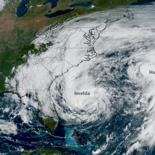
2025 Atlantic Hurricane Season Marked by Striking Contrasts
By noaa.gov, noaa.gov. Seasonal activity fell within NOAA’s predicted ranges The 2025 Atlantic hurricane season, which officially ends on November 30, was notable for its striking contrast — wavering between periods of relative calm and bursts of intense activity, generating very powerful storms. Overall, the season fell within the predicted ranges… SEE MORE
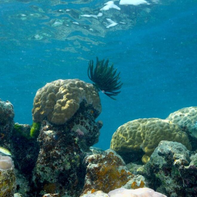
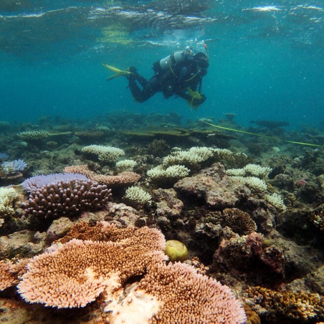
Palau’s Rock Islands Harbor Heat-resistant Corals
By Woods Hole Oceanographic Institution, whoi.edu. Heat-Resistant Corals Discovered in Palau’s Rock Islands As marine heatwaves increasingly threaten coral reefs worldwide, new research from Palau offers promising insights for harbor and coastal communities that depend on healthy reef ecosystems for shoreline protection, fisheries, and maritime navigation safety. The discovery of… SEE MORE

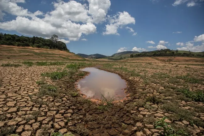
Study Links More Frequent and Severe Heat Waves to Pollution from Major Fossil Fuel Producers
By Isabella O’Malley. Fifty-five heat waves over the past quarter-century would not have happened without human-caused climate change, according to a study published Wednesday. Planet-warming emissions from 180 major cement, oil and gas producers contributed significantly to all of the heat events considered in the study, which was published in the journal… SEE MORE
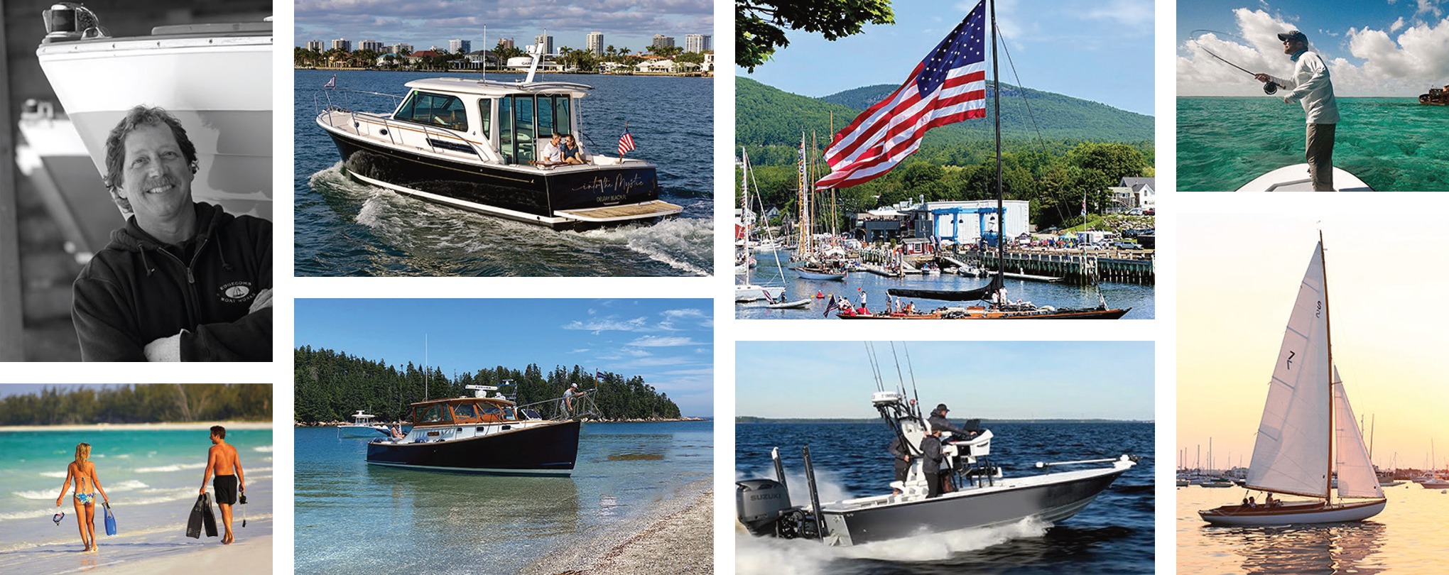
Featured Harbors
Cast off the lines, explore the coast, and discover new harbors!
-
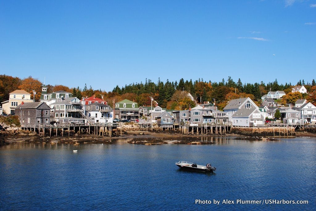
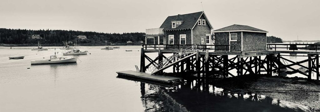 North Haven, ME
Midcoast & Penobscot Bay, ME
North Haven, ME
Midcoast & Penobscot Bay, ME
-
 Oceanside, CA
South Coast, CA
Oceanside, CA
South Coast, CA
-
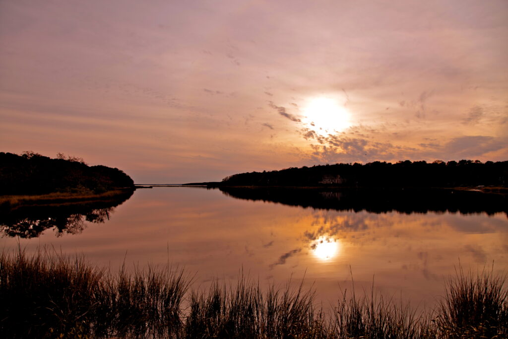 Mashpee, MA
Massachusetts
Mashpee, MA
Massachusetts
-
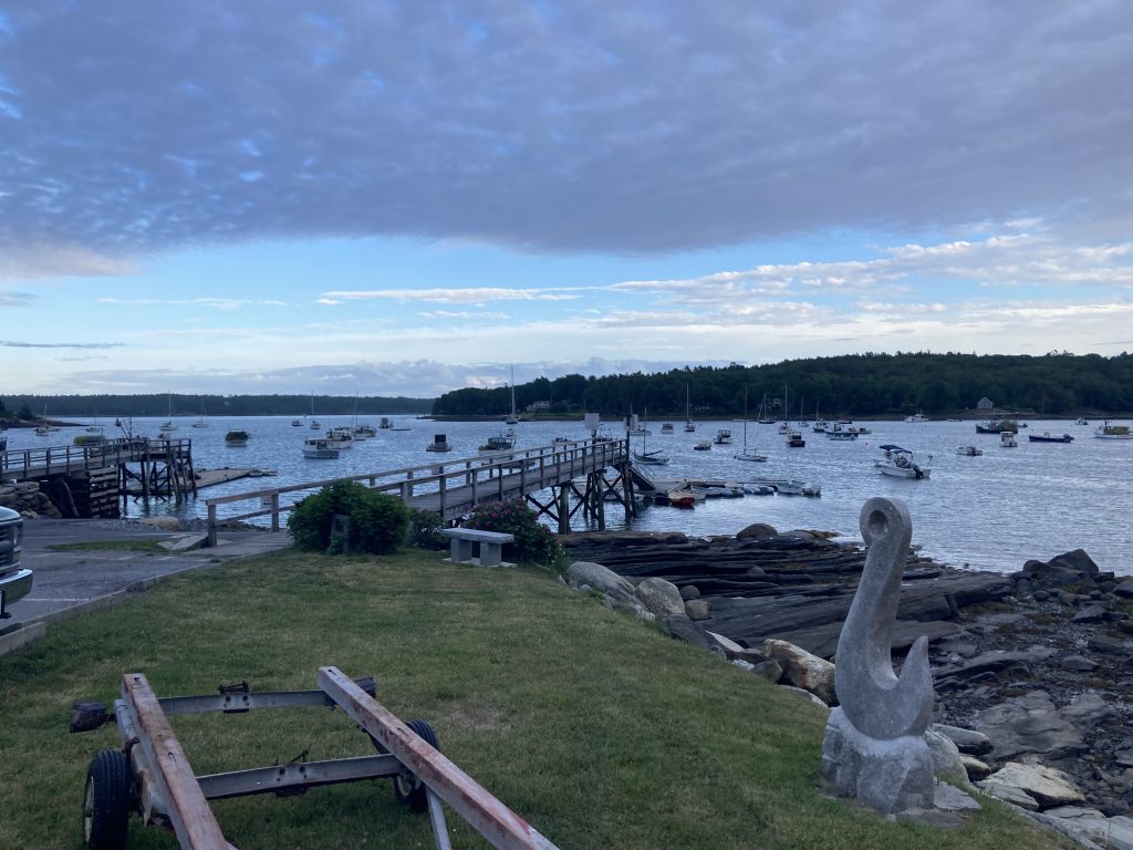 Round Pond, ME
Midcoast & Penobscot Bay, ME
Round Pond, ME
Midcoast & Penobscot Bay, ME
-
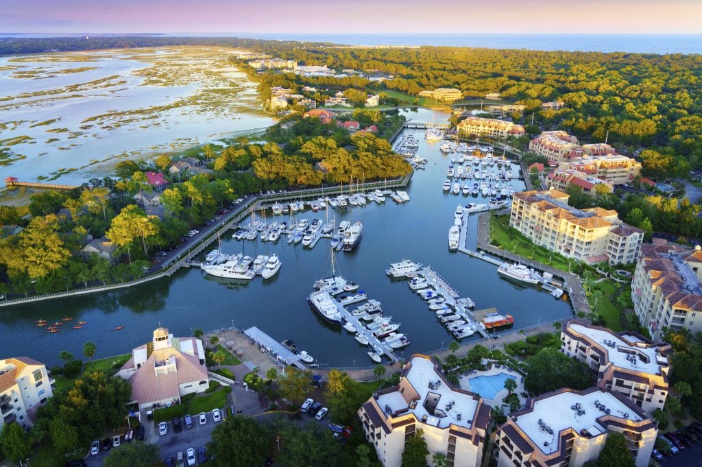 Shelter Cove, Hilton Head Island, SC
Southern Coast, SC
Shelter Cove, Hilton Head Island, SC
Southern Coast, SC
-
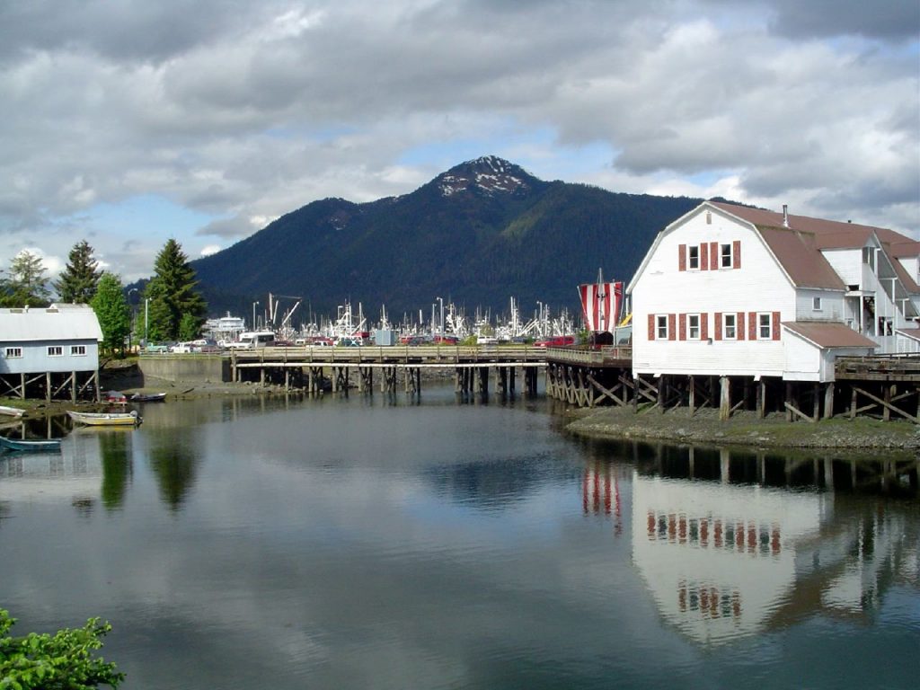 Petersburg, AK
Southeast Inside Passage, AK
Petersburg, AK
Southeast Inside Passage, AK
-
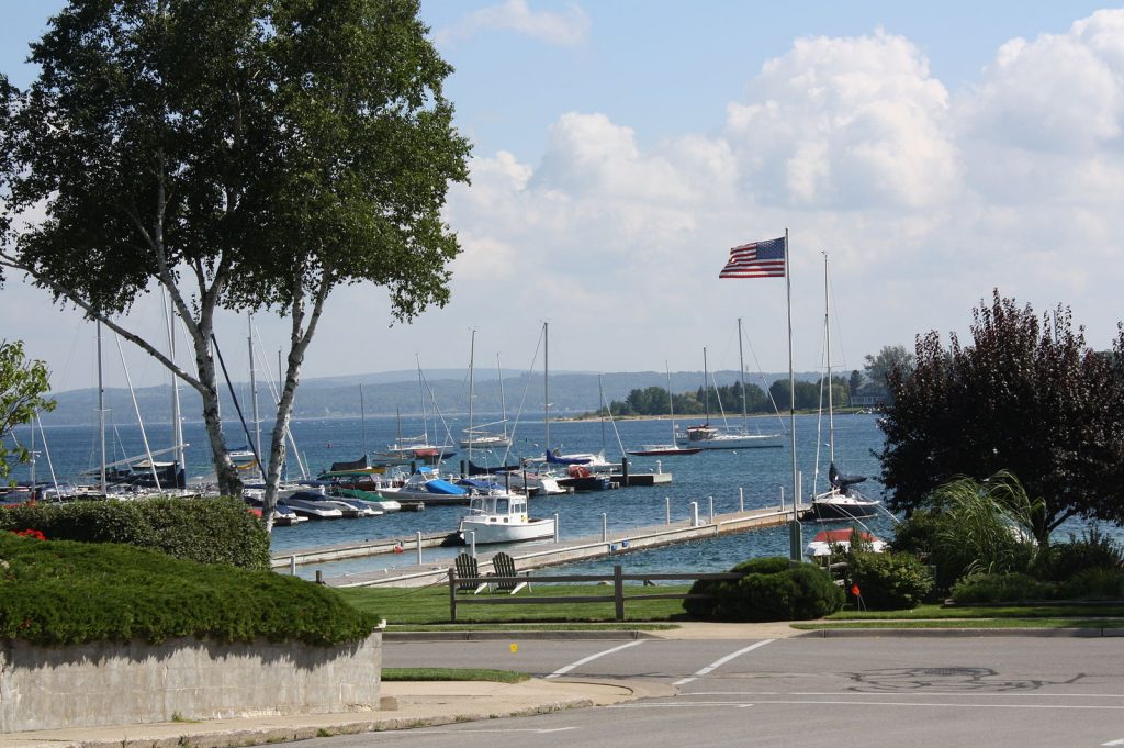 Harbor Springs, MI
Michigan
Harbor Springs, MI
Michigan
-
 Menemsha Harbor, MA
Massachusetts
Menemsha Harbor, MA
Massachusetts
-
 New York (The Battery), NY
New York City & Approaches, NY
New York (The Battery), NY
New York City & Approaches, NY
-
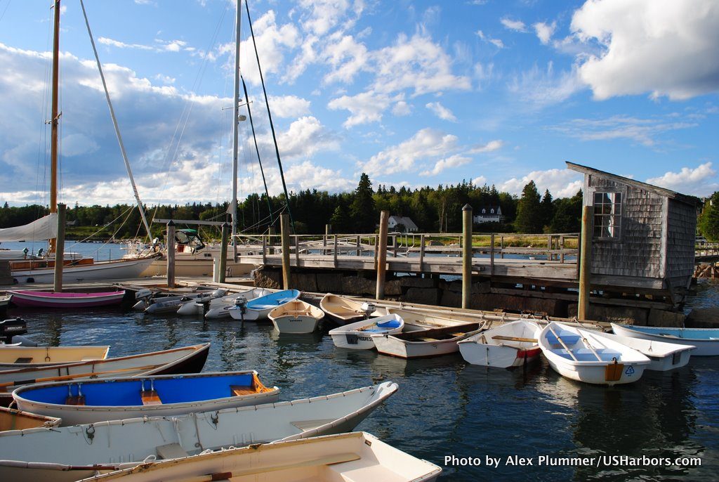 Brooklin (Center Harbor), ME
Maine
Brooklin (Center Harbor), ME
Maine
-
 Deer Isle, Stonington, ME
Maine
Deer Isle, Stonington, ME
Maine
-
 Bass Harbor, ME
Maine
Bass Harbor, ME
Maine
-
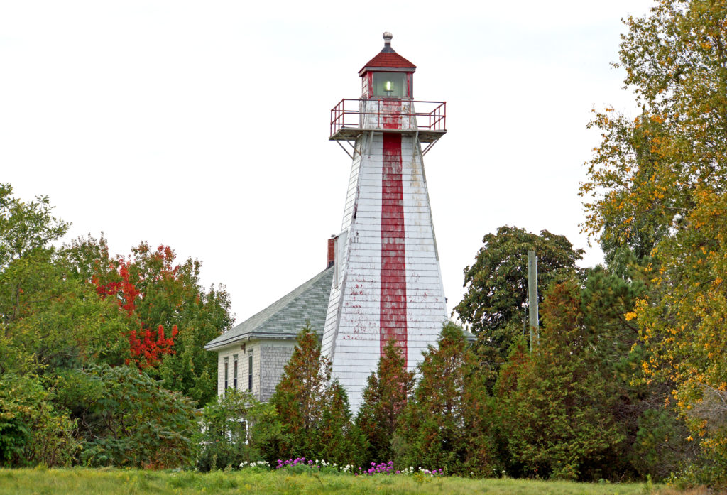 Georgetown Lighthouse, SC
South Carolina
Georgetown Lighthouse, SC
South Carolina
-
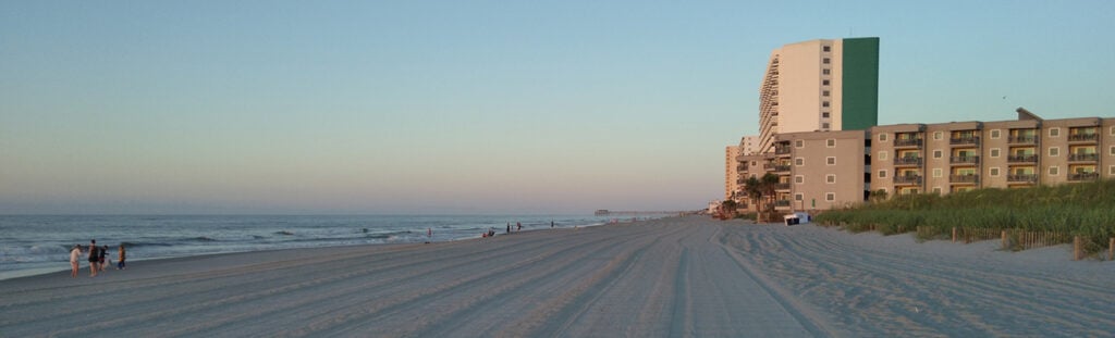 Garden City Beach, SC
South Carolina
Garden City Beach, SC
South Carolina
-
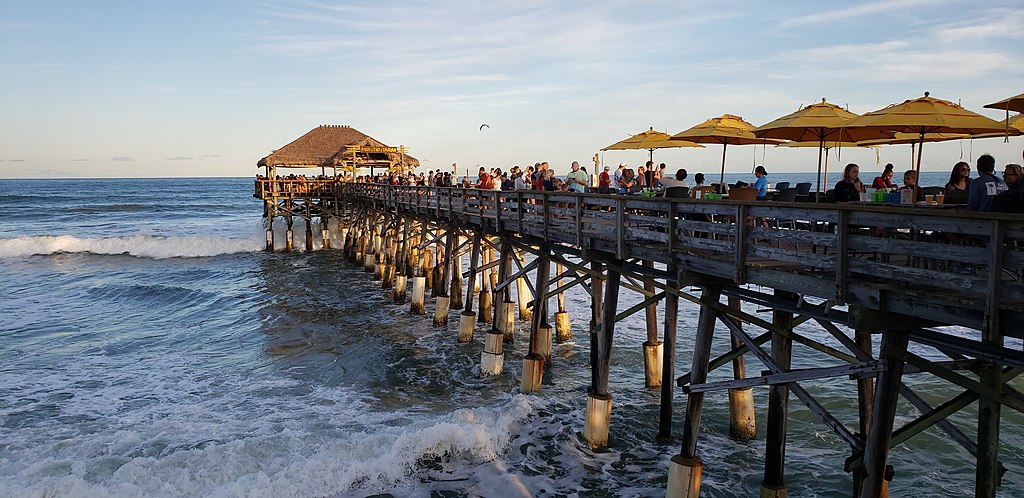 Cocoa Beach, FL
Florida
Cocoa Beach, FL
Florida